
El Camino Real in San Ardo, CA 93450
El Camino Real in San Ardo, CA 93450 (Monterey County) is a two-lane, concrete, unlit highway. The street has no sidewalks. The street has bike paths in some sections. It runs in a southeast-northwest direction and crosses Prunedale South Road, Blackie Road, Gould Road, Hartnell Road, Spence Road, Potter Road, Esperanza Road, Somavia Road, Hudson Road, Underwood Road, Lagomarsino Avenue and Hobson Avenue. It ends in a cul-de-sac and connects Monterey County, Salinas, Greenfield, King City, Gonzales and Chualar. El Camino Real is also known as The King's Highway. This street is part of the highways 101, 156 and Juan Bautista de Anza National Historic Trail Auto Tour Route. Nearby you can find among others a gas station and a restaurant. El Camino Real also exists in San Diego County, San Luis Obispo County, San Mateo County, San Benito County and Merced County. Ⓦ.
- Bicycle
- yes
- Road Type
- highway
- Lanes
- 2
- Speed Limit
- 65 mph
- Route
- southeast-northwest
Image
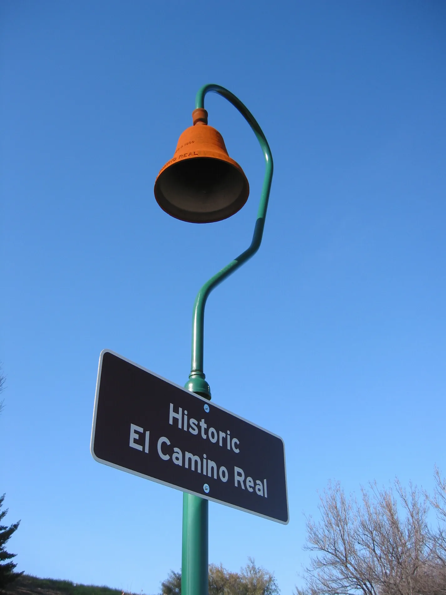
Streets nearby
Wunpost RoadCommercial buildings nearby
Exxon Mobil Pipeline / GATXIndustrial areas nearby
Salinas River CogenerationPlaces of worship nearby
Our Lady of Ransom Catholic ChurchRailways nearby
Wunpost SidingRivers nearby
Salinas RiverStreams nearby
Hames CreekValleys nearby
Swain ValleyOther nearby
Texaco-San Ardo Heliport| Located in | San Francisco |
|---|---|
| Country | United States |
 Public transit map Monterey County Legend
| Railway | |
| Bus | |
| Streetcar |
 Bicycle map Monterey County Legend
| Bike path | |
| Bike lane on roadway | |
| Cycling allowed on bus lane | |
| Bicycle street | |
| Open to cyclists | |
| Open to cyclists, good path | |
| Cycling prohibited | |
| Cobblestone |
| Long-distance bike route | (depending on scale) | |
| Long-distance bike route |
 Pedestrian map Monterey County Legend
| Path |
| Long-distance hiking trail | (depending on scale) | |
| Long-distance hiking trail | ||
| Pedestrians prohibited |