
El Camino Real in San Juan Bautista, CA 95045
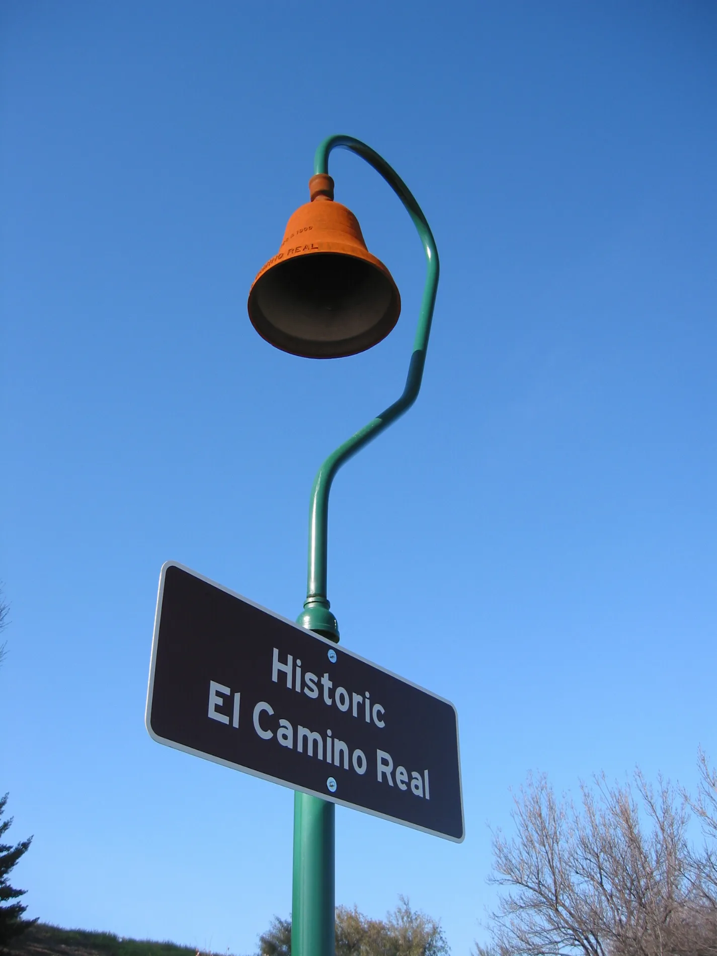
El Camino Real in San Juan Bautista, CA 95045 (San Benito County) is a two-lane, asphalted, unlit highway. It crosses Cannon Road and ends in a cul-de-sac. El Camino Real is also known as The King's Highway. This street is part of the highways 101, 156 and Juan Bautista de Anza National Historic Trail Auto Tour Route. El Camino Real also exists in San Diego County, Monterey County, San Luis Obispo County, San Mateo County and Merced County. Ⓦ.
- Bicycle
- yes
- Road Type
- highway
- Lanes
- 2
- Speed Limit
- 65 mph
Streets nearby
Betabel RoadBetabel
0.1 mi
Y Road0.5 mi
South Valley FreewayCP Corporal, Corporal, Sargent, Ralph's Cherry Hut
0.9 mi
Chittenden Road129 General Store
1.7 mi
San Juan HighwayCemex
1.7 mi
Payne Road1.8 mi
School Road1.8 mi
Short Road2.0 mi
Harlands Way2.1 mi
San Juan2.2 mi
Pajaro Road2.3 mi
Chittenden Pass2.3 mi
Riverside RoadCamFlor, Chittenden
2.3 mi
Searle Road2.5 mi
Anzar Road2.5 mi
Old Monterey Road2.5 mi
Anderson Road2.5 mi
Forest Road2.6 mi
Old Chittenden Road2.7 mi
Merrill Road2.9 mi
Joe F Young Road3.0 mi
Abandoned railways nearby
California Central Railroad1.5 mi
Buildings nearby
100s1.8 mi
200s1.8 mi
300s1.8 mi
Administration1.8 mi
400s1.9 mi
Gymnasium1.9 mi
Campgrounds nearby
McAlpine Lake & Park2.1 mi
Nature reserves nearby
Carnadero Preserve1.5 mi
Pescadero Ranch Reserve1.5 mi
Quarries nearby
Granite Rock3.0 mi
Railways nearby
UP Coast Subdivision0.7 mi
Ridges nearby
Sargent Hills1.4 mi
Lomerias Muertas1.9 mi
Rivers nearby
Pajaro River0.8 mi
San Benito River1.0 mi
Rv parks nearby
Betabel RV Park0.4 mi
Sports fields nearby
Basketball courts1.9 mi
Baseball field1.9 mi
Softball field2.0 mi
Streams nearby
Sargent Creek1.1 mi
Carnadero Creek1.5 mi
Tick Creek1.9 mi
Tar Creek2.3 mi
Pescadero Creek2.5 mi
Uvas-Carnadero Creek2.8 mi
Waters nearby
Anzar Lake2.7 mi
Other nearby
Santa Clara/San Benito2.0 mi
| Located in | San Francisco |
|---|---|
| Country | United States |
 Public transit map San Benito County Legend
| Railway | |
| Bus | |
| Streetcar |
 Bicycle map San Benito County Legend
| Bike path | |
| Bike lane on roadway | |
| Cycling allowed on bus lane | |
| Bicycle street | |
| Open to cyclists | |
| Open to cyclists, good path | |
| Cycling prohibited | |
| Cobblestone |
| Long-distance bike route | (depending on scale) | |
| Long-distance bike route |
 Pedestrian map San Benito County Legend
| Path |
| Long-distance hiking trail | (depending on scale) | |
| Long-distance hiking trail | ||
| Pedestrians prohibited |