
Warner Avenue in Tustin, California
Warner Avenue in Tustin is a five-lane, asphalted secondary road. The street has bike paths (bike lane) in some sections. It runs in a southeast-northwest direction starting from Park Avenue and ends at Tustin Ranch Road. The nearest stop is Warner-Park. The bus lines 72 and 400A serve this stop. Warner Avenue also exists in Fountain Valley and Huntington Beach.
- Road Type
- secondary road
- Lanes
- 5
- Speed Limit
- 50 mph
- Route
- southeast-northwest
Image
Bus stops
- bus lines 72, 400A
Streets nearby
Brisbane Court0.2 mi
Jamboree RoadJamboree-Beckman, Jamboree-Kelvin, Jamboree-Mcgaw, Jamboree-Dupont, The Melting Pot, Postino, Jamboree-Campus, Jamboree-Fairchild, Jamboree-Main, Meet Fresh, Pho Saigon Pearl, Jamboree-Alton, Verizon, Mend Dental
0.2 mi
Tustin Ranch RoadStars Threading, Tustin Ranch-Warner, Tustin Ranch-Park, The UPS Store
0.2 mi
Stafford Place0.3 mi
Victory Road0.3 mi
Barnes Road0.3 mi
Construction North0.3 mi
Lodestar0.3 mi
Transport0.3 mi
Preston Place0.3 mi
District DriveBar Louie, Two Hands Fresh Corn Dogs, Ike’s Love & Sandwiches, Utopia European Caffé, Top Canvas, 3CAT, Pinot’s Palette, Portola, Dolce Gelato
0.3 mi
Park AvenuePrego, Welcome to Orange County, Cube Designs Furniture, Alternative Retail, Casa Del Sol Cucina Mexicana, Starbucks (Target), Curry Pizza House
0.3 mi
Ballast Place0.4 mi
Lancea Place0.4 mi
Waypoint0.4 mi
Voyager0.4 mi
Meadow Place0.4 mi
Warner AvenueWarner-Park
0.4 mi
Windrow Road0.4 mi
Legacy RoadChargePoint
0.4 mi
East Warner AvenueWarner-Red Hill, Warner-Tustin Ranch, Warner-Legacy, Warner-Pullman, Warner-Armstrong, Tustin Legacy
0.4 mi
Barlett Place0.4 mi
Downs Road0.4 mi
Moffett Avenue0.5 mi
Windwalker Way0.5 mi
Auto repair shops nearby
Irvine Auto Body0.3 mi
Commercial buildings nearby
Leasing Office0.4 mi
Covered areas nearby
Dog Wash0.3 mi
Department stores nearby
Target0.4 mi
Dry cleaners nearby
Legacy Cleaners0.4 mi
Fast food restaurants nearby
Subway0.4 mi
Pressed Juicery0.4 mi
Hangars nearby
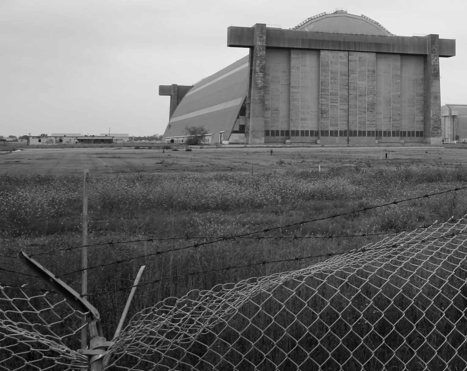
MCAS Tustin Blimp Hangar500 ft
Hardware stores nearby
Lowe's0.2 mi
Huts nearby
Clubhouse0.4 mi
Parks nearby
Victory Park0.2 mi
Residential areas nearby
Anton Legacy Apartments0.2 mi
Amalfi Apartments0.3 mi
Levity0.3 mi
Greenwood Tustin Legacy0.3 mi
Restaurants nearby
Lucille's Smokehouse BBQ0.3 mi
J. Zhou Oriental Cuisine0.3 mi
Aloha Hawaiian BBQ0.4 mi
Retail areas nearby
The District at Tustin Legacy0.1 mi
Retail buildings nearby
The UPS Store0.4 mi
Self storages nearby
Extra Space Storage0.4 mi
Sports centers nearby
Fitness Center0.3 mi
Swimming pools nearby
Spa0.3 mi
Pool0.4 mi
Wholesale stores nearby
Costco0.1 mi
 Public transit map Tustin Legend
| Railway | |
| Bus | |
| Streetcar |
 Bicycle map Tustin Legend
| Bike path | |
| Bike lane on roadway | |
| Cycling allowed on bus lane | |
| Bicycle street | |
| Open to cyclists | |
| Open to cyclists, good path | |
| Cycling prohibited | |
| Cobblestone |
| Long-distance bike route | (depending on scale) | |
| Long-distance bike route |
 Pedestrian map Tustin Legend
| Path |
| Long-distance hiking trail | (depending on scale) | |
| Long-distance hiking trail | ||
| Pedestrians prohibited |