
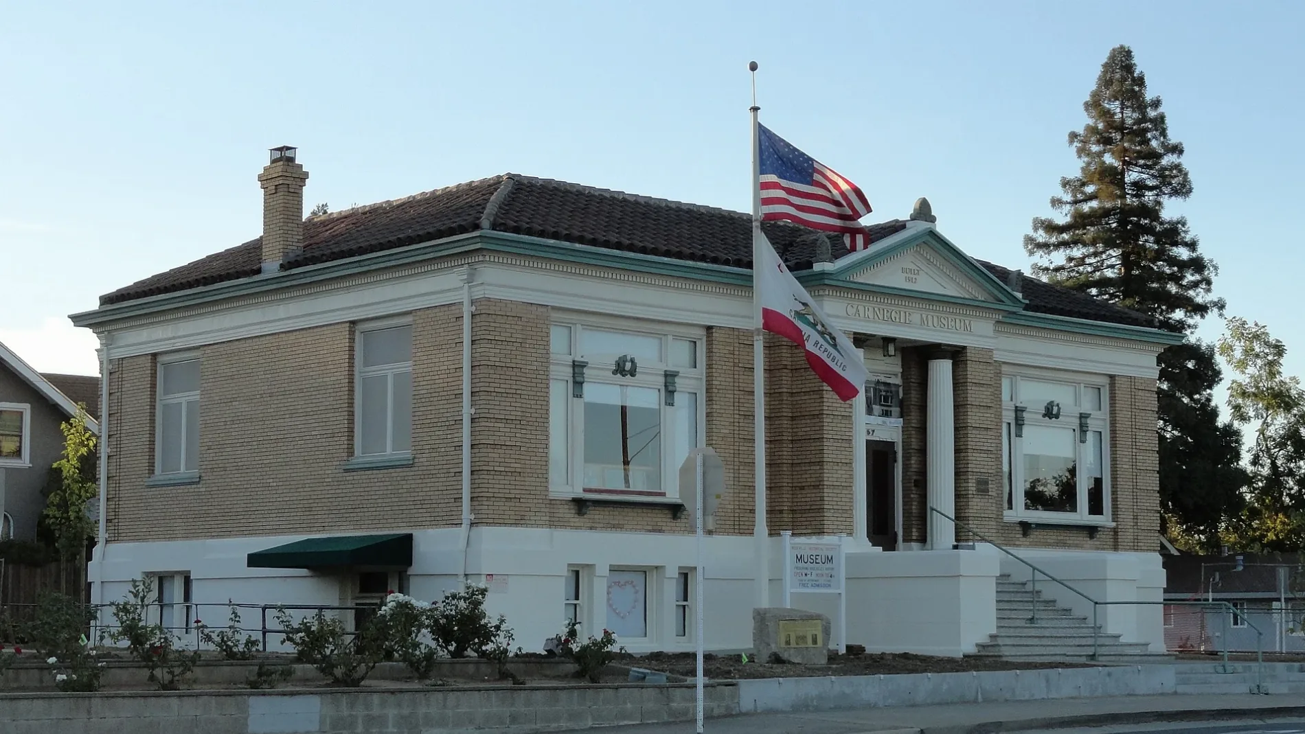
Short Street in Roseville, California
Short Street in Roseville is a service road and runs in a southeast-northwest direction. Short Street also exists in Humboldt County, Contra Costa County, Orange County, Sonoma County and Los Angeles County.
- Road Type
- service road
- Route
- southeast-northwest
Image
Streets nearby
Yosemite StreetFull Gospel Tabernacle
200 ft
Doyle Street250 ft
Branstetter StreetAdelante High School
300 ft
Atlantic StreetCP Yosemite, Atlantic at Center, Atlantic at Yosemite, Chevron, Atlantic Street Veterinary Hospital
450 ft
Thomas Street500 ft
Almond Street550 ft
Brittain Street550 ft
Alola Street0.1 mi
Brookview Street0.1 mi
Tahoe AvenuePlacer SPCA
0.1 mi
Walnut Street0.2 mi
Coronado Avenue0.2 mi
Eggleston Street0.2 mi
Jefferson Street0.2 mi
Bernice Avenue0.2 mi
Miner's Ravine TrailLife Cycle of Chinook Salmon and Steelhead in Miners Ravine, Miners Ravine at a Glance, Tandoori Nights, Starbucks, The Pantry
0.2 mi
Linda Drive0.2 mi
Nancy Way0.2 mi
Marilyn Avenue0.2 mi
Garden Court0.2 mi
Maciel Avenue0.2 mi
Columbia Avenue0.2 mi
Evelyn Avenue0.3 mi
Evelyn Court0.3 mi
Lincoln StreetMoose Lodge, The Beauty Bar, Boxing Donkey, El Charro Taqueria, Golden Honey, Roseville Tattoo Co., Bijou Beauty, Shades of Joy, Fig + Ivy, The Beauty Parlor, Terra Beauty, Fourscore Coffee House, Abstract Skateboarding, Scissors & Blades, Aesthetic Collective, Lavish Hair Studio, Loot and Legends
0.3 mi
Sutter AvenueLions Clubs International
0.3 mi
Parry Street0.3 mi
Campo Street0.3 mi
Zola Avenue0.3 mi
Berry StreetHastie's Capitol Sand & Gravel
0.4 mi
Sharon Way0.4 mi
James Drive0.4 mi
Center Street0.4 mi
Tiger Way0.4 mi
Estates Court0.4 mi
Folsom RoadGrocery Outlet, Once Upon a Child, BlueZone Sports, Wild Birds Unlimited, Roseville Commons
0.4 mi
Margaret Way0.5 mi
Donner Avenue0.5 mi
Estates DriveAutoZone
0.5 mi
Buildings nearby
The Lords Gym0.2 mi
105 Noshery0.2 mi
Churches nearby
Fellowship Sanctuary0.2 mi
Fire stations nearby
Carl J. Green Memorial Fire Station0.3 mi
Parks nearby
Steam Engine SP2252 - Rotary Snowplw SPMW72210.1 mi
William L. Taylor Park0.5 mi
Lincoln Estates Park0.5 mi
Places of worship nearby
Abundant Life Fellowship Church0.2 mi
Railways nearby
UP Valley Subdivision0.2 mi
Roseville Subdivision0.4 mi
Public transit map Roseville Legend
| Railway | |
| Bus | |
| Streetcar |
Bicycle map Roseville Legend
| Bike path | |
| Bike lane on roadway | |
| Cycling allowed on bus lane | |
| Bicycle street | |
| Open to cyclists | |
| Open to cyclists, good path | |
| Cycling prohibited | |
| Cobblestone |
| Long-distance bike route | (depending on scale) | |
| Long-distance bike route |
Pedestrian map Roseville Legend
| Path |
| Long-distance hiking trail | (depending on scale) | |
| Long-distance hiking trail | ||
| Pedestrians prohibited |