
Stanford Avenue in Roseville, California
Stanford Avenue in Roseville is a residential street and it runs in an east-west direction starting from Los Vegas Avenue and ends at Niles Avenue. Stanford Avenue also exists in Sacramento County, Orange County, Los Angeles County, El Dorado County and San Diego County.
- Road Type
- residential street
- Route
- east-west
Image
Streets nearby
Lawton Avenue200 ft
All America City Boulevard400 ft
Niles Avenue400 ft
Elefa Street500 ft
Hill Avenue0.1 mi
All American Speedway0.1 mi
Pleasant Street0.1 mi
Alta Avenue0.1 mi
Papaya Alley0.2 mi
Encinal Avenue0.2 mi
Washington BoulevardExtra Space Storage, Washington past Junction, Storage Direct, Washington at Pleasant Grove, All American City Animal Hospital, Jersey Mike's Subs, Noah's Bagels, Roku Japanese Cuisine, Chipotle, New York Pizza, Washington past All America City, Veritas Church, East Gate, Washington at Industrial
0.2 mi
Pit Road0.2 mi
Rosenlle Street0.2 mi
Mango Alley0.2 mi
Carmel Avenue0.2 mi
Los Vegas Avenue0.2 mi
Lomitas Avenue0.2 mi
Grove Street0.2 mi
San Juan Avenue0.2 mi
Cortez Avenue0.2 mi
Roseville Street0.2 mi
Valencia Avenue0.2 mi
Guava Alley0.2 mi
Placer Street0.3 mi
Lincoln StreetMoose Lodge, The Beauty Bar, Boxing Donkey, El Charro Taqueria, Golden Honey, Roseville Tattoo Co., Bijou Beauty, Shades of Joy, Fig + Ivy, The Beauty Parlor, Terra Beauty, Fourscore Coffee House, Abstract Skateboarding, Scissors & Blades, Aesthetic Collective, Lavish Hair Studio
0.3 mi
Shasta StreetLaundry
0.3 mi
Sierra Boulevard0.3 mi
Coconut Alley7-Eleven
0.3 mi
Main StreetBar 101, Onyx Club, Opera House Saloon, Makeup Before You Wakeup, One Seventeen Salon, Edge Salon, Up Rock Studios, L & L Esthetics, Sassy’s Salon & Spa, Roseville, Main Street Grocery, Main at Washington, Main before Atkinson, Main before Foothills
0.3 mi
El Dorado Avenue0.3 mi
Saint Andrew's Drive0.4 mi
Yosemite StreetFull Gospel Tabernacle
0.4 mi
Alta Vista Avenue0.4 mi
Oak Vista Drive0.4 mi
Buildings nearby
Caboose0.2 mi
Auto repair shops nearby
Bubba's Auto Care0.3 mi
Barns nearby
Barn 40.2 mi
Barn 30.2 mi
Barn 20.2 mi
Buildings nearby
Jones Hall0.2 mi
Annex on Main0.3 mi
McRae Block0.4 mi
Covered areas nearby
Show Ring0.2 mi
Fast food restaurants nearby
Nubbin's Drive-In0.3 mi
Gas stations nearby
Beacon0.2 mi
Museums nearby
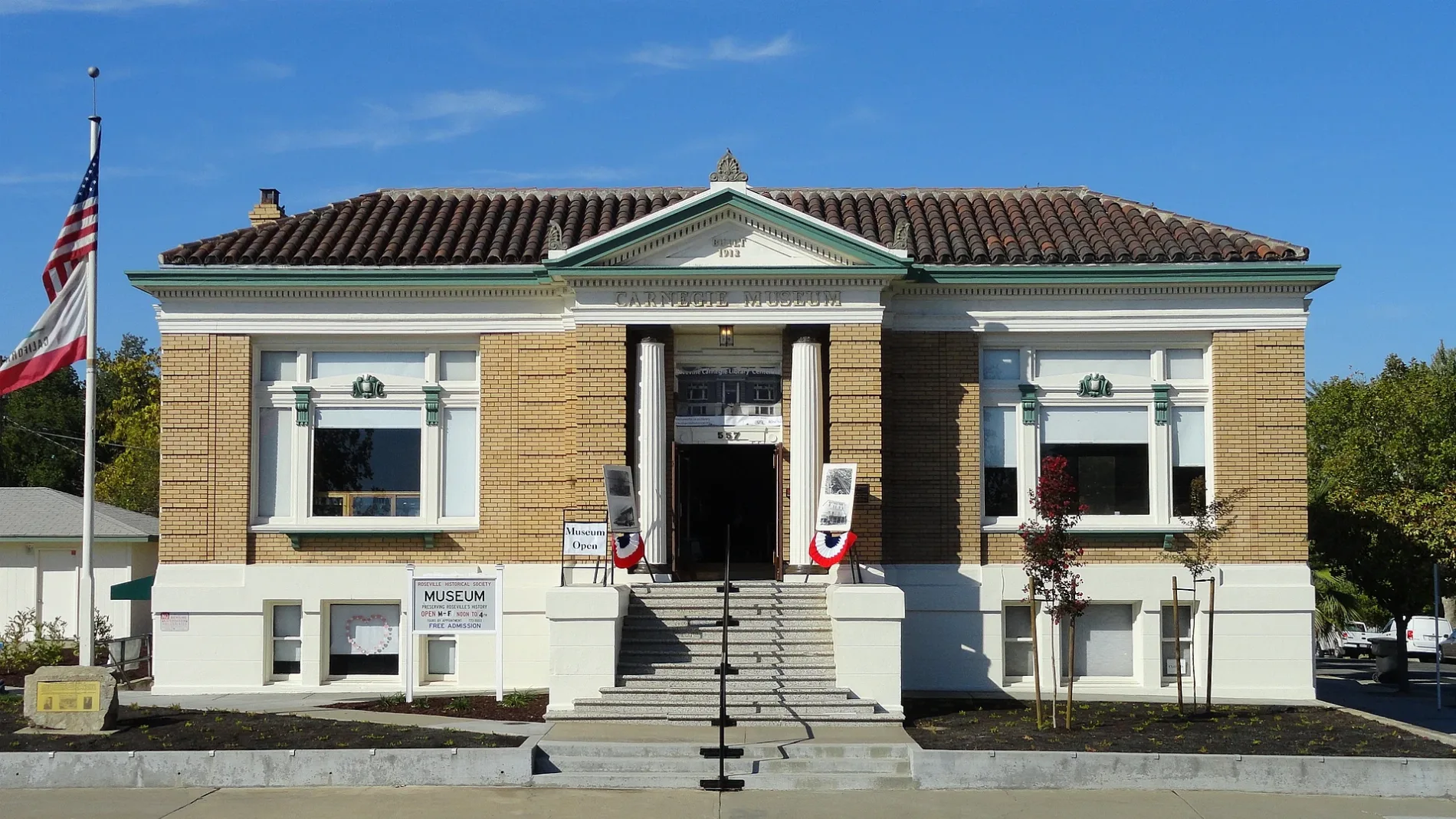
Carnegie Museum0.3 mi
Places of worship nearby
Church of God550 ft
Roseville Christian Fellowship0.1 mi
Railways nearby
UP Valley Subdivision0.4 mi
Public transit map Roseville Legend
| Railway | |
| Bus | |
| Streetcar |
Bicycle map Roseville Legend
| Bike path | |
| Bike lane on roadway | |
| Cycling allowed on bus lane | |
| Bicycle street | |
| Open to cyclists | |
| Open to cyclists, good path | |
| Cycling prohibited | |
| Cobblestone |
| Long-distance bike route | (depending on scale) | |
| Long-distance bike route |
Pedestrian map Roseville Legend
| Path |
| Long-distance hiking trail | (depending on scale) | |
| Long-distance hiking trail | ||
| Pedestrians prohibited |