
5th Street in San Jacinto, California
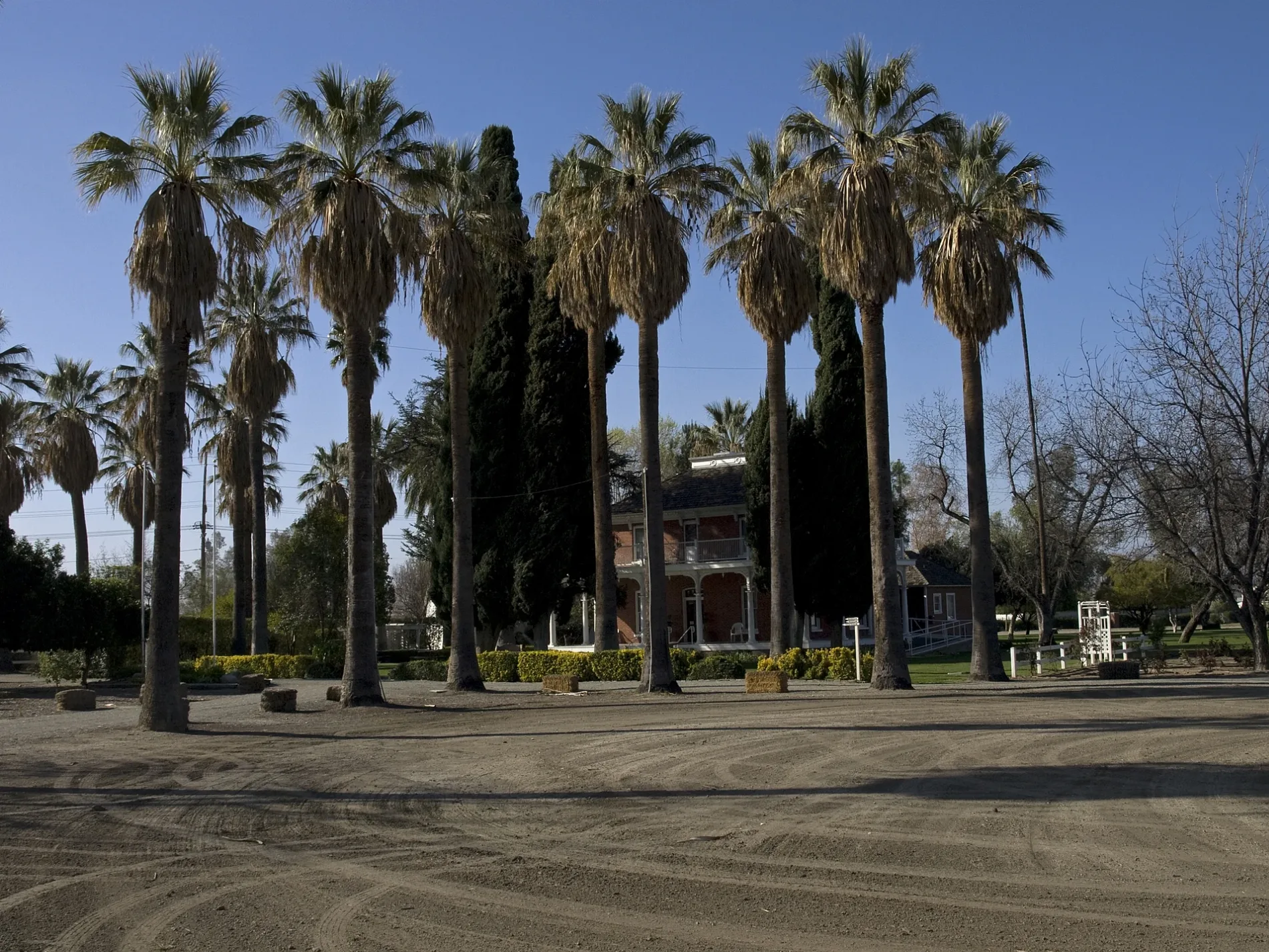
5th Street in San Jacinto is a residential street. It runs in an east-west direction starting from West Main Street and crosses Santa Fe Avenue, South Estudillo Avenue, South Pico Avenue and San Jacinto Avenue and ends at East 5th Street. 5th Street also exists in Desert Hot Springs, Perris, Coachella, Cathedral City and Murrieta.
- Road Type
- residential street
- Route
- east-west
Image
Places of worship
Town halls
Cafes
Bus stops
Streets nearby
6th Street400 ft
South San Marcos Place500 ft
Santa Fe AvenueCentral Church of Christ
0.1 mi
West 3rd Street0.1 mi
Main Street0.1 mi
South Estudillo Avenue0.1 mi
De Anza Drive0.2 mi
Ash Street0.2 mi
South Victoria Avenue0.2 mi
Brown Avenue0.2 mi
Dana Court0.2 mi
2nd Street0.2 mi
South Pico Avenue0.2 mi
7th StreetWatermill Express, Calvary Chapel San Jacinto Christian School
0.2 mi
West Main Street0.2 mi
Ramona BoulevardRamona FS Second Street (Assembly of God), Ramona FS Santa Fe
0.2 mi
West Ash Street0.2 mi
South Dillon Avenue0.3 mi
San Jacinto AvenueSan Jacinto Unified School District, San Jacinto NS Commonwealth, San Jacinto 2447 @ Ramona Tire, San Jacinto FS Seventh Street, Rite Aid, San Jacinto, San Jacinto FS Sixth, San Jacinto 1861 S. @ Super Walmart, AT&T, Quiznos, Walgreens, San Jacinto NS Esplanade, San Jacinto FS Esplanade, Starbucks, San Jacinto 1605 S. @ Rite Aid, San Jacinto NS Blue Fountain Mobile Park
0.3 mi
Jonnie Way0.3 mi
Graciela Court0.3 mi
North Ramona BoulevardRamona FS State, Monte Vista Middle School, Ramona NS State, Ramona + Tahquitz, Ramona FS Tahquitz, Ramona + Tiger, Ramona FS Tiger
0.3 mi
East 5th Street0.3 mi
Cherry Street0.3 mi
East Main StreetMain NS Jordon
0.3 mi
South Sheriff Boulevard0.3 mi
East 6th StreetSan Jacinto City Hall
0.3 mi
1st Street0.3 mi
South Grand Army AvenueSan Jacinto Elementary School
0.3 mi
Pico Avenue0.3 mi
Dogwood Street0.3 mi
Entrance0.4 mi
Aspen Avenue0.4 mi
Birch Street0.4 mi
Elm Avenue0.4 mi
West 10th Street0.4 mi
South Jordan Avenue0.4 mi
West Washburn Avenue0.4 mi
East 2nd Street0.4 mi
Buildings nearby
Estudillo Mansion0.3 mi
Community centers nearby
San Jacinto Community Center0.2 mi
Fire stations nearby
San Jacinto Fire Station #250.3 mi
Industrial areas nearby
Agri-Empire0.3 mi
Museums nearby
San Jacinto City Museum0.3 mi
Parking lots nearby
San Jacinto Assembly Of God Park And Ride0.3 mi
Parks nearby
Hoffman Park0.2 mi
Druding Park0.3 mi
Estudillo Heritage Park0.3 mi
Variety stores nearby
Dollar General0.3 mi
Public transit map San Jacinto Legend
| Railway | |
| Bus | |
| Streetcar |
Bicycle map San Jacinto Legend
| Bike path | |
| Bike lane on roadway | |
| Cycling allowed on bus lane | |
| Bicycle street | |
| Open to cyclists | |
| Open to cyclists, good path | |
| Cycling prohibited | |
| Cobblestone |
| Long-distance bike route | (depending on scale) | |
| Long-distance bike route |
Pedestrian map San Jacinto Legend
| Path |
| Long-distance hiking trail | (depending on scale) | |
| Long-distance hiking trail | ||
| Pedestrians prohibited |