
Junipero Serra Boulevard in Daly City, California
Junipero Serra Boulevard in Daly City is a three-lane secondary road (Road number CA 1). The street has bike paths (bike protection lane). It runs in a north-south direction starting from Junipero Serra Freeway. This street is part of the highway "1". Nearby you can find among others 2 restaurants, a veterinary clinic, a herbalist and a food court. The nearest stop is Colma Park and Ride. The bus lines 112, 120, 121, 122, 130, 2062, MAP, PCX and SCX serve this stop. Junipero Serra Boulevard also exists in Menlo Park, South San Francisco and Colma.
- Bicycle
- no
- Road Type
- highway
- Lanes
- 3
- Speed Limit
- 65 mph
- Route
- north-south
Bus stops
- bus lines 112, 120, 121, 122, 130, 2062, MAP, PCX, SCX
Restaurants
Veterinary clinics
Food courts
Ice cream shops
Streets nearby
Junipero Serra FreewayKamameshi, Koi Palace
250 ft
North Mayfair AvenueJohn Daly Boulevard & Sheffield Drive
0.1 mi
Wilshire Court0.1 mi
John Daly BoulevardJohn Daly Boulevard & Dorchester Drive, Daly City BART, John Daly Boulevard & Mission Street, Daly City, John Daly Boulevard & Park Plaza Drive, John Daly Boulevard & Sheffield Drive, John Daly Boulevard & Eastgate Drive, Chevron Car Wash, John Daly Boulevard & Cliffside Drive, Original Joe's, Target, John Daly Boulevard & Poncetta Drive, John Daly Boulevard & Lake Merced Boulevard
0.2 mi
John F Foran FreewayDaly City BART
0.2 mi
Willits Street0.2 mi
Poncetta Drive0.2 mi
Hillsdale Avenue0.2 mi
South Mayfair Avenue0.2 mi
Woodrow Street0.2 mi
Sheffield Drive0.2 mi
North Parkview Avenue0.3 mi
Mayfair Drive0.3 mi
Hillcrest Drive0.3 mi
Los Banos Avenue0.3 mi
Westlake Avenue0.3 mi
Wilshire Avenue0.3 mi
South Parkview Avenue0.3 mi
Miriam Street0.3 mi
Saint Charles AvenueSaint Charles Avenue & Alemany Boulevard, Saint Charles Avenue & Belle Avenue
0.3 mi
Belle Avenue0.4 mi
Niantic Avenue0.4 mi
Westdale Avenue0.4 mi
Santa Cruz Avenue0.4 mi
Guadalupe Avenue0.4 mi
Knowles Avenue0.4 mi
Vista Grande AvenueVista Grande Avenue Christian Church
0.4 mi
Chester Avenue0.4 mi
San Diego Avenue0.4 mi
Panama Street0.4 mi
Santa Barbara Avenue0.4 mi
De Long Street7-Eleven
0.5 mi
Alemany BoulevardAlemany Boulevard & Saint Charles Avenue, Alemany Boulevard & Victoria Street, Shell, Alemany Boulevard & Folsom Street, Excelsior Auto Care, Midas, Alemany Boulevard & Arch Street, Outer Mission, Saint Mary's Park Overpass, Community Well
0.5 mi
Palmetto Avenue0.5 mi
Shops nearby
Mayfair 760.2 mi
Cafes nearby
Boulevard Cafe0.2 mi
Car dealerships nearby
Carvana0.4 mi
Funeral homes nearby
Duggan's Serra Mortuary0.3 mi
Golf courses nearby
Lake Merced Golf and Country Club0.3 mi
Hospitals nearby
IQ Laser Vision & ScottHyver Visioncare0.2 mi
Movie theaters nearby
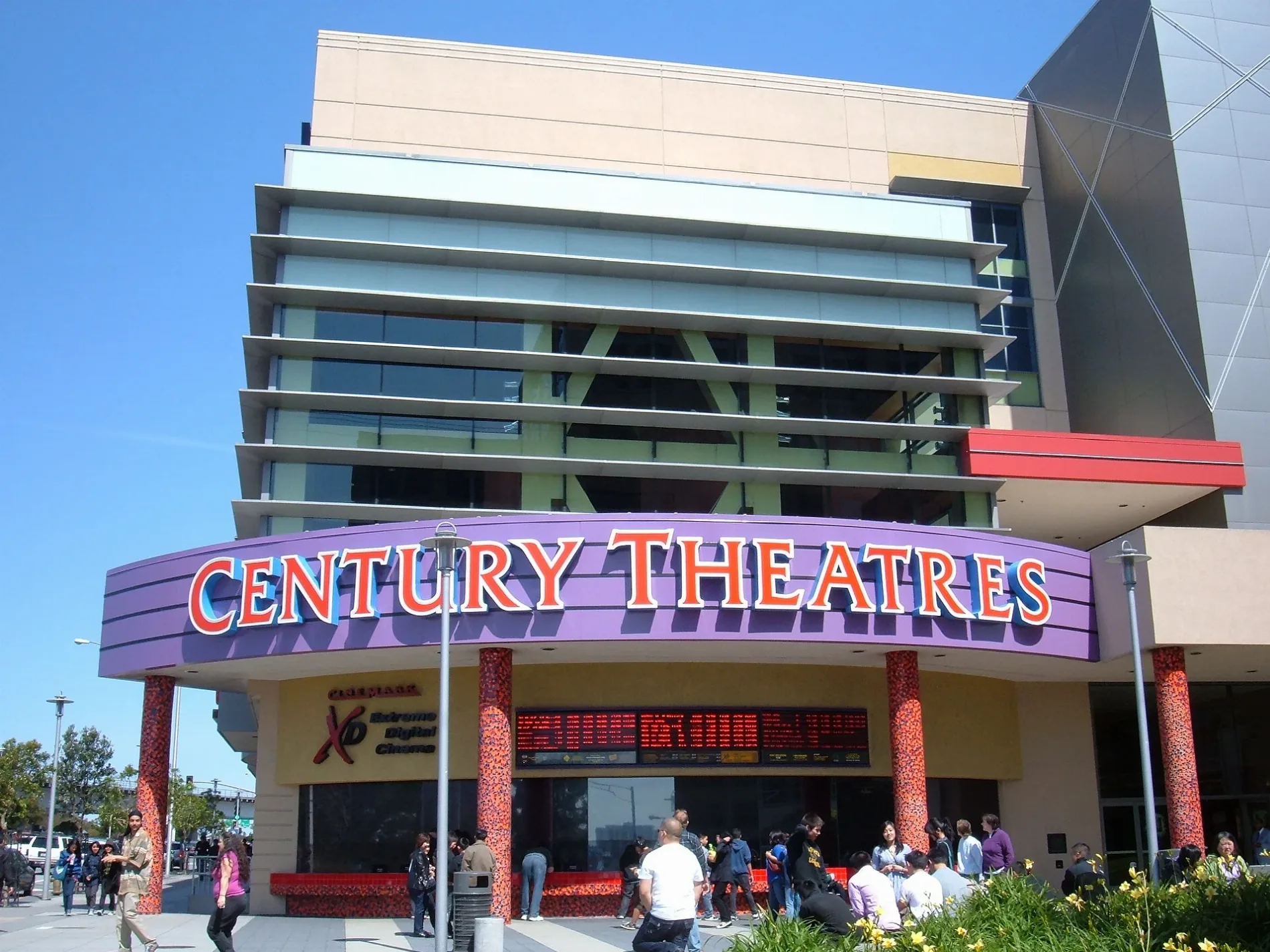
Century 20 Daly City0.1 mi
Parking lots nearby
GENESIS Parking Garage0.2 mi
Parks nearby
Marchbank Park0.2 mi
John Daly Tot Lot0.4 mi
Places of worship nearby
Good News Fellowship0.4 mi
Playgrounds nearby
Marchbank Playground0.3 mi
John Daly Tot Lot Playground0.4 mi
Restaurants nearby
Bart Grocery0.4 mi
Subway lines nearby
M-Line0.2 mi
Public transit map Daly City Legend
| Railway | |
| Bus | |
| Streetcar |
Bicycle map Daly City Legend
| Bike path | |
| Bike lane on roadway | |
| Cycling allowed on bus lane | |
| Bicycle street | |
| Open to cyclists | |
| Open to cyclists, good path | |
| Cycling prohibited | |
| Cobblestone |
| Long-distance bike route | (depending on scale) | |
| Long-distance bike route |
Pedestrian map Daly City Legend
| Path |
| Long-distance hiking trail | (depending on scale) | |
| Long-distance hiking trail | ||
| Pedestrians prohibited |