
Poncetta Drive in Daly City, California
Poncetta Drive in Daly City is a residential street and it runs in a southeast-northwest direction and crosses South Mayfair Avenue, John Daly Boulevard and Sheffield Drive.
- Road Type
- residential street
- Route
- southeast-northwest
Image
Ice cream shops
Subway stops
Bus stops
Restaurants
Cafes
Pubs
Stations
Streets nearby
South Mayfair Avenue300 ft
Mayfair Drive500 ft
John Daly BoulevardJohn Daly Boulevard & Dorchester Drive, Daly City BART, John Daly Boulevard & Mission Street, Daly City, John Daly Boulevard & Park Plaza Drive, John Daly Boulevard & Sheffield Drive, John Daly Boulevard & Eastgate Drive, Chevron Car Wash, John Daly Boulevard & Cliffside Drive, Original Joe's, Target, John Daly Boulevard & Poncetta Drive, John Daly Boulevard & Lake Merced Boulevard
500 ft
Sheffield Drive0.1 mi
North Mayfair AvenueJohn Daly Boulevard & Sheffield Drive
0.1 mi
Hillsdale Avenue0.1 mi
Junipero Serra FreewayKamameshi, Koi Palace
0.1 mi
Wilshire Court0.2 mi
Junipero Serra BoulevardJunipero Serra Boulevard & Citrus Avenue, St. Francis, Junipero Serra Boulevard & 87th Street, Junipero Serra Boulevard & School Street, Evergreen Ginseng & Herbs, 1901 Junipero Serra Boulevard, Kukje Grill, Gilman Brewing, Tomo Sushi & Teriyaki, Cold Stone Creamery, Westlake Coffee Shop, Round Table Pizza, Colma Park and Ride
0.2 mi
Fairway Drive0.2 mi
Wilshire Avenue0.2 mi
Westlawn Avenue0.3 mi
Westdale Avenue0.3 mi
Castlemont Avenue0.3 mi
Fieldcrest Drive0.3 mi
Parkwood Drive0.3 mi
Niantic Avenue0.3 mi
John F Foran FreewayDaly City BART
0.3 mi
Lake Vista Avenue0.3 mi
Forest Grove Drive0.3 mi
Lake Forest Drive0.3 mi
Westlake Avenue0.4 mi
Bel Mar Avenue0.4 mi
Belmont Drive0.4 mi
Park Plaza DriveRoss, Westlake, Neighbor Self Storage, BMO, The UPS Store, AT&T, Red Wing, Elite Hair Salon Hair Nail, Mattress Firm, T-Mobile, Broaster Foods, Westlake Dental Care, Structure Hair Design, Park Plaza Drive & John Daly Boulevard, Connect Hearing by AudioNova, Cigarettes Cheaper, Westlake Art & Framing Center, Westlake Shoe & Leather Repair, Magic Touch Beauty Salon, Tiny Sushi - Oh Baby, Chipotle, Nation's Giant Hamburgers, Supercuts
0.4 mi
Cliffside Drive0.4 mi
Southgate AvenueChase, Westlake Branch Daly City Public Library, Southgate Avenue & Westridge Avenue, Southgate Avenue & Montrose Avenue, Southgate Avenue & Ocean Grove Avenue, Southgate Avenue & Crestline Avenue, Bank of America, Union Bank, Pho Huynh Hiep 3, Patelco Credit Union, Southgate Avenue & Lake Merced Boulevard, Southgate Avenue & Sullivan Avenue, St. Andrew's Catholic Church, Thomas Edison Elementary School, Southgate Avenue & Lakeshire Drive, Southgate Avenue & Lincoln Avenue, Southgate Avenue & Cerro Drive, Westlake Station Daly City Post Office, Quickly, Kan Kiin Brunch & Thai Eatery, Southgate Avenue & Windsor Drive, Southgate Avenue & Maddux Drive, Southgate Avenue & Lakewood Drive, Southgate Avenue & El Dorado Drive, Southgate Avenue & Westmoor Avenue, Southgate Avenue & Glenrose Avenue, Southgate Avenue & Creston Avenue
0.5 mi
Westlake CenterDSW, Verizon, Starbucks, Jamba, Baskin-Robbins, Sheng Kee, Kick City, Banana Island, Nick the Greek, Blue Line Pizza, Spiral Japanese Cuisine, Trader Joe's, European Wax Center, claire's, Sterling Bank, Lobella, Ketsourine Macarons, Diddams, Five Rivers Indian Cuisine, Ohana Hawaiian BBQ, Burlington, Monterra Credit Union, Color Me Mine, Peninsula Books
0.5 mi
Parkside Avenue0.5 mi
Manor Court0.5 mi
El Portal Way0.5 mi
South Lake Merced Hill Street0.6 mi
Lakeview Drive0.6 mi
Shops nearby
Mayfair 76300 ft
Cafes nearby
Boulevard Cafe200 ft
Convenience stores nearby
Chevron ExtraMile0.5 mi
Fast food restaurants nearby
Panda Express0.5 mi
Burger King0.5 mi
Gardens nearby
Gateway Garden0.5 mi
Golf courses nearby
Lake Merced Golf and Country Club0.3 mi
Hospitals nearby
IQ Laser Vision & ScottHyver Visioncare0.3 mi
Movie theaters nearby
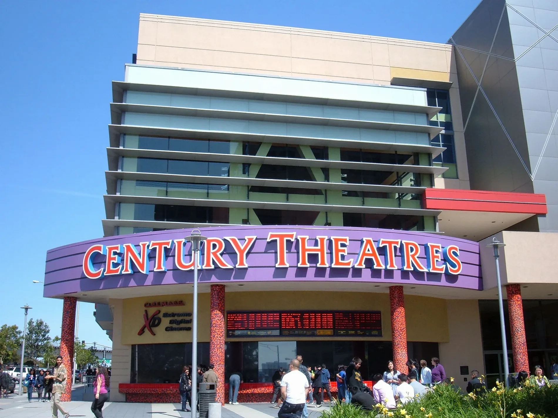
Century 20 Daly City0.3 mi
Parking lots nearby
GENESIS Parking Garage0.3 mi
Parks nearby
Marchbank Park0.3 mi
Broderick-Terry Duel Landmark Park0.6 mi
Playgrounds nearby
Westlake Playground0.5 mi
Retail areas nearby
Chevron0.5 mi
Subway lines nearby
M-Line0.3 mi
Supermarkets nearby
Safeway0.4 mi
Public transit map Daly City Legend
| Railway | |
| Bus | |
| Streetcar |
Bicycle map Daly City Legend
| Bike path | |
| Bike lane on roadway | |
| Cycling allowed on bus lane | |
| Bicycle street | |
| Open to cyclists | |
| Open to cyclists, good path | |
| Cycling prohibited | |
| Cobblestone |
| Long-distance bike route | (depending on scale) | |
| Long-distance bike route |
Pedestrian map Daly City Legend
| Path |
| Long-distance hiking trail | (depending on scale) | |
| Long-distance hiking trail | ||
| Pedestrians prohibited |