
4th Street in Ceres, California
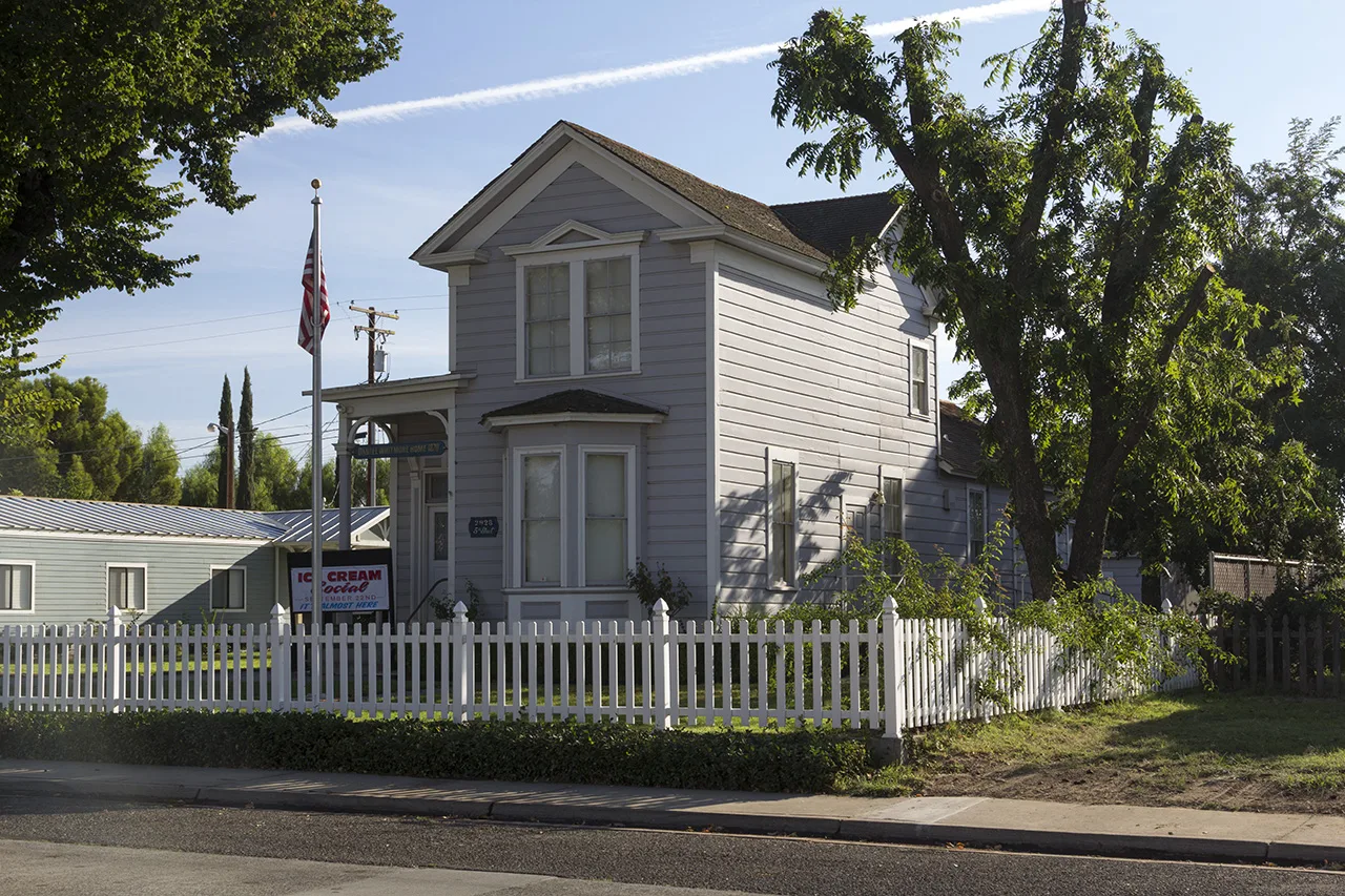
4th Street in Ceres is a residential street. It runs in a north-south direction and crosses East Whitmore Avenue, Magnolia Street and North Street. It ends in a cul-de-sac. Nearby there is a bar. 4th Street also exists in Modesto, Hughson and Riverbank.
- Road Type
- residential street
- Route
- north-south
Image
Bars
Streets nearby
North StreetWells Fargo
550 ft
Magnolia StreetCeres Branch Stanislaus County Free Library, Ceres City Hall, Ceres Community Center
0.1 mi
2nd Street0.1 mi
6th StreetWalter White Elementary School
0.2 mi
3rd Street0.2 mi
Lawrence StreetAlfonso's Mexican Grill, Argus High School, Endeavor High School
0.2 mi
North Central Avenue0.2 mi
7th Street0.2 mi
Whitmore Avenueampm, My Garden Cafe, Modern Urgent Care, BMO Banking Center, Ceres Smog & Tune, 1 Stop Rim & Tire Shop, DaVita Dialysis, Glaze Donuts
0.3 mi
Herndon Road0.3 mi
5th Street0.3 mi
El Camino AvenueValero, LOZA Kitchen & Bar
0.3 mi
Mary Avenue0.3 mi
Park StreetSam's Cafe
0.3 mi
West Avenue0.3 mi
8th Street0.3 mi
9th Street0.3 mi
Kay Street0.4 mi
Harold Street0.4 mi
Pine Street0.4 mi
East Hackett RoadStanislaus County Department of Child Support Services, Stan Works, Community Services Agency
0.4 mi
Harold Avenue0.4 mi
Railroad Avenue0.4 mi
Dirk Court0.4 mi
Palm Avenue0.5 mi
Oasis Avenue0.5 mi
Villa Ramon Drive0.5 mi
Chahalis Way0.5 mi
Casa Verde Drive0.5 mi
Standford Avenue0.5 mi
Hemlock Avenue0.5 mi
10th Street0.5 mi
Pyramid Avenue0.5 mi
Larch Avenue0.5 mi
Charlotte Avenue0.5 mi
Lilac Court0.5 mi
Pyramid Drive0.6 mi
Allotment gardens nearby
Ceres High School Gazebo and Garden0.2 mi
Fast food restaurants nearby
Fosters Freeze0.2 mi
Parks nearby
Whitmore Park0.2 mi
School buildings nearby
Small Gymnasium0.2 mi
Ceres Unified School District0.2 mi
Administration & Library0.2 mi
Gymnasium0.2 mi
Cafeteria0.3 mi
Sports fields nearby
JV Softball Field0.3 mi
JV Baseball Field0.3 mi
Varsity Softball Field0.3 mi
Varsity Baseball Field0.3 mi
 Public transit map Ceres Legend
| Railway | |
| Bus | |
| Streetcar |
 Bicycle map Ceres Legend
| Bike path | |
| Bike lane on roadway | |
| Cycling allowed on bus lane | |
| Bicycle street | |
| Open to cyclists | |
| Open to cyclists, good path | |
| Cycling prohibited | |
| Cobblestone |
| Long-distance bike route | (depending on scale) | |
| Long-distance bike route |
 Pedestrian map Ceres Legend
| Path |
| Long-distance hiking trail | (depending on scale) | |
| Long-distance hiking trail | ||
| Pedestrians prohibited |