
El Camino Avenue in Ceres, California
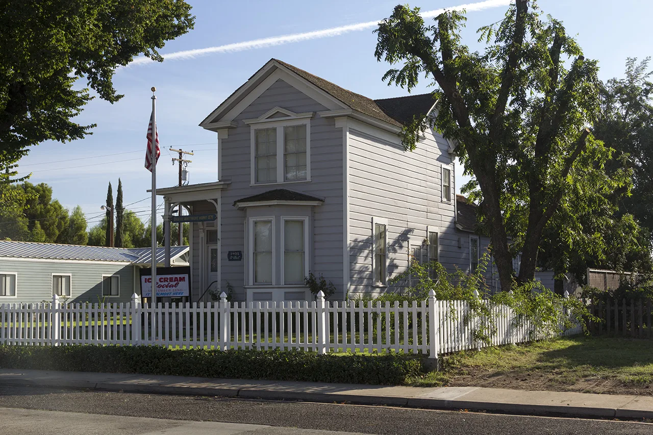
El Camino Avenue in Ceres is a local road. It runs in a southeast-northwest direction starting from Poplar Street and crosses Magnolia Street, North Central Avenue, North Street, 2nd Street, 3rd Street, Lawrence Street, 4th Street and 5th Street. Nearby you can find a gas station and a restaurant.
- Road Type
- secondary road
- Route
- southeast-northwest
Image
Streets nearby
2nd Street200 ft
Magnolia StreetCeres Branch Stanislaus County Free Library, Ceres City Hall, Ceres Community Center
0.1 mi
3rd Street0.1 mi
North Central Avenue0.2 mi
Poplar Street0.2 mi
West Avenue0.2 mi
North StreetWells Fargo
0.2 mi
Herndon Road0.2 mi
Lawrence StreetAlfonso's Mexican Grill, Argus High School, Endeavor High School
0.3 mi
Central Way0.3 mi
Harold Street0.3 mi
Central AvenueCaswell Elementary School
0.3 mi
5th Street0.3 mi
Harold Avenue0.3 mi
East Hackett RoadStanislaus County Department of Child Support Services, Stan Works, Community Services Agency
0.3 mi
Pine Street0.3 mi
6th StreetWalter White Elementary School
0.3 mi
McKittrick Court0.3 mi
Arvig Court0.3 mi
Arvig Lane0.3 mi
Crownview Drive0.3 mi
Park StreetSam's Cafe
0.3 mi
4th StreetThe Rusty Nail Cocktail Lounge
0.3 mi
Railroad Avenue0.3 mi
Linda Way0.4 mi
Laurelwood Court0.4 mi
Glenda Road0.4 mi
Peoples Lane0.4 mi
Farris Avenue0.4 mi
Pleasant Avenue0.4 mi
7th Street0.4 mi
Sunburst Court0.4 mi
East Whitmore Avenue76, Mister Car Wash, Ceres, Ceres High School Gazebo, McDonald's, EVgo, Tacos El Viejon, Flyers Snack Cycle, Carl's Jr., Little Caesars, Subway, Starbucks
0.4 mi
Industrial Way0.4 mi
Tamarack Avenue0.4 mi
Spruce Avenue0.4 mi
Allotment gardens nearby
Ceres High School Gazebo and Garden0.2 mi
Fast food restaurants nearby
Fosters Freeze0.3 mi
Parks nearby
Whitmore Park0.1 mi
Railways nearby
UP Fresno Subdivision0.4 mi
School buildings nearby
Administration & Library0.2 mi
Small Gymnasium0.3 mi
Cafeteria0.3 mi
Gymnasium0.3 mi
Ceres Unified School District0.4 mi
Sports fields nearby
Varsity Softball Field0.4 mi
JV Softball Field0.4 mi
JV Baseball Field0.4 mi
Varsity Baseball Field0.4 mi
Public transit map Ceres Legend
| Railway | |
| Bus | |
| Streetcar |
Bicycle map Ceres Legend
| Bike path | |
| Bike lane on roadway | |
| Cycling allowed on bus lane | |
| Bicycle street | |
| Open to cyclists | |
| Open to cyclists, good path | |
| Cycling prohibited | |
| Cobblestone |
| Long-distance bike route | (depending on scale) | |
| Long-distance bike route |
Pedestrian map Ceres Legend
| Path |
| Long-distance hiking trail | (depending on scale) | |
| Long-distance hiking trail | ||
| Pedestrians prohibited |