
Crows Landing Road in Modesto, California
Crows Landing Road in Modesto is a secondary road. It runs in a north-south direction and crosses Pueblo Avenue and El Paso Avenue. It ends in a cul-de-sac. Nearby you can find 2 gas stations, a fast food restaurant and a variety store. Crows Landing Road also exists in Ceres.
- Road Type
- secondary road
- Route
- north-south
Image
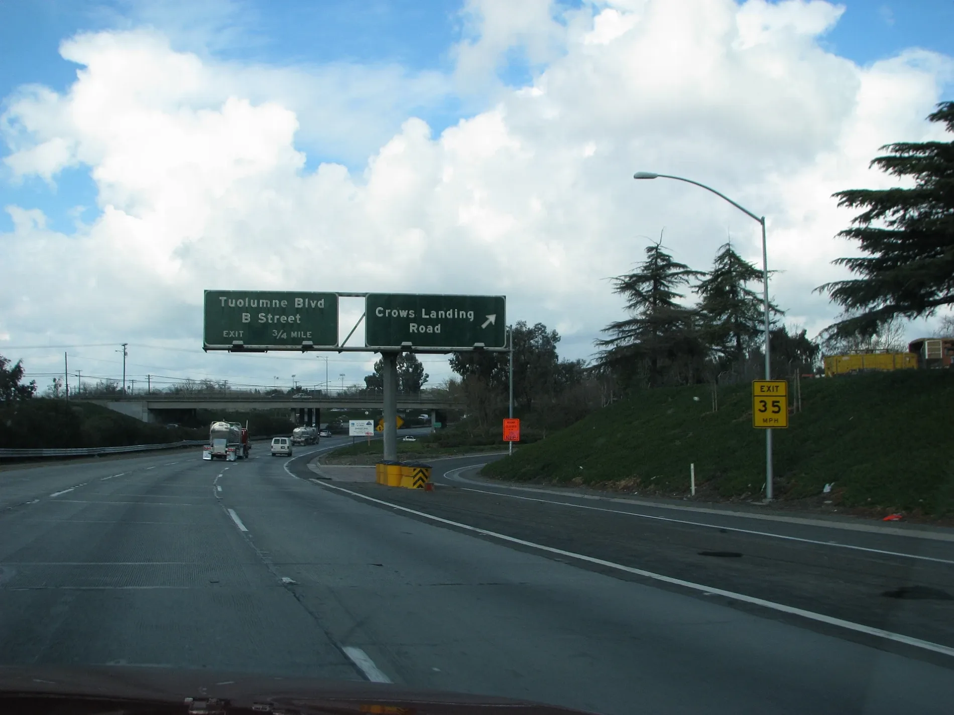
Streets nearby
Rita Court0.2 mi
Blankenburg Avenue0.2 mi
Pueblo Avenue0.2 mi
Lita Court0.2 mi
Zeff Road0.3 mi
Janopaul Avenue0.3 mi
El Paso Avenue0.3 mi
Janopaul Lane0.3 mi
Sonora Avenue7-11 Liquors
0.4 mi
Bowie Avenue0.4 mi
Crockett Avenue0.4 mi
Flores Avenue0.4 mi
Kendee RoadMace Motors
0.4 mi
Bunker Avenue0.4 mi
Neece Drive0.4 mi
Jean Street0.4 mi
School AvenueBest Gas 4 Less
0.4 mi
Crows Landing RoadCharlie's Market, Valero, Olsen Gas & Liquor, A.V.A. Liquors, Super Mercado, Lion's Market
0.4 mi
Ansul Avenue0.5 mi
Hosmer Avenue0.5 mi
Don Street0.5 mi
Latimer Avenue0.5 mi
Alamo Avenue0.5 mi
River RoadRiver Road General Store, Hills Ferry
0.5 mi
Barozzi Avenue0.5 mi
South 7th StreetCountry Restaurant, CAT Scale
0.5 mi
Crater Avenue0.5 mi
Bystrum Road0.5 mi
South 9th StreetBystrom
0.5 mi
Sunset AvenueAspire Vanguard College Preparatory Academy
0.5 mi
Broadway AvenueSalida
0.5 mi
Rouse Avenue0.5 mi
Boulder Avenue0.5 mi
Pecos AvenueMendoza's Auto Sales
0.5 mi
Santa Fe AvenueModesto, Claus, Modesto Empire Junction, CP East Denair, CP East Modesto Empire
0.6 mi
Glacier Avenue0.6 mi
Crystal Avenue0.6 mi
Wisenor Avenue0.6 mi
Signature Court0.6 mi
Adkinson Way0.6 mi
Abandoned railways nearby
Tidewater Subdivision0.6 mi
Fast food restaurants nearby
McDonald's0.2 mi
Golf courses nearby
Modesto Municipal Golf Course0.5 mi
Military areas nearby
Army National Guard0.4 mi
Motels nearby
Arrow Inn0.5 mi
Parks nearby
John Thurman Field0.5 mi
Proposed railways nearby
California High Speed Rail; Capital Subdivision (Phase 2)0.2 mi
Railways nearby
UP Fresno Subdivision0.2 mi
School buildings nearby
Administration Office0.5 mi
Aspire University Charter School0.6 mi
 Public transit map Modesto Legend
| Railway | |
| Bus | |
| Streetcar |
 Bicycle map Modesto Legend
| Bike path | |
| Bike lane on roadway | |
| Cycling allowed on bus lane | |
| Bicycle street | |
| Open to cyclists | |
| Open to cyclists, good path | |
| Cycling prohibited | |
| Cobblestone |
| Long-distance bike route | (depending on scale) | |
| Long-distance bike route |
 Pedestrian map Modesto Legend
| Path |
| Long-distance hiking trail | (depending on scale) | |
| Long-distance hiking trail | ||
| Pedestrians prohibited |