
Pueblo Avenue in Modesto, California
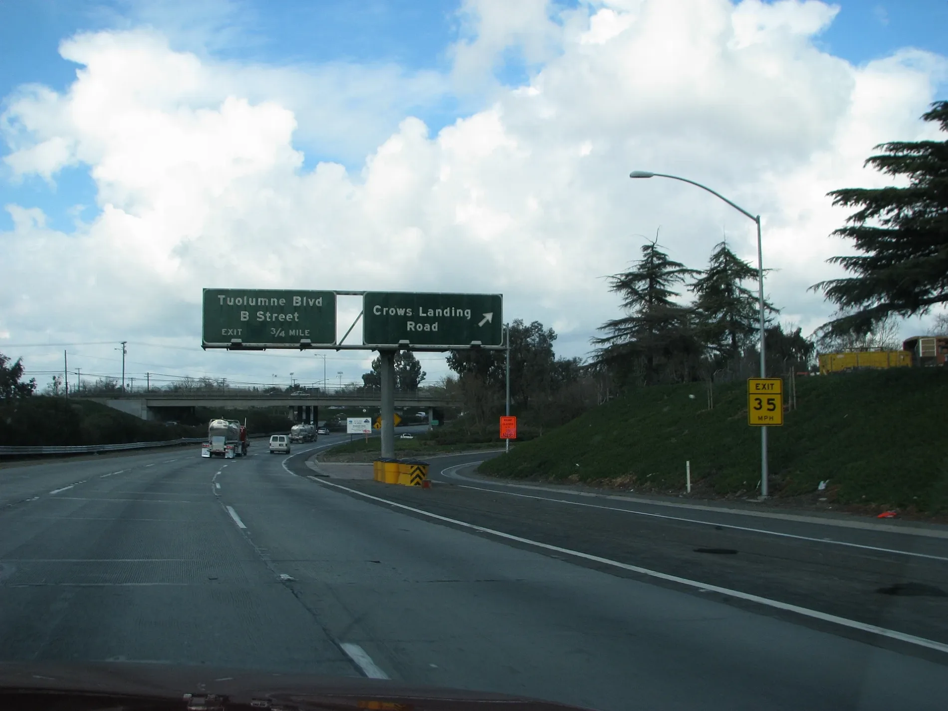
Pueblo Avenue in Modesto is a two-lane, asphalted unclassified road. It runs in an east-west direction starting from Crows Landing Road and crosses Zeff Road. Pueblo Avenue also exists in Napa County, Sonoma County, Kings County, San Luis Obispo County and San Bernardino County.
- Road Type
- unclassified road
- Lanes
- 2
- Speed Limit
- 35 mph
- Route
- east-west
Image
Gas stations
Restaurants
Fast food restaurants
Appliance stores
Stations
Schools
Clinics
Massage therapy clinics
Cafes
Places of worship
Variety stores
Electrical supply stores
Hair salons
Auto parts stores
Streets nearby
Zeff Road250 ft
El Paso Avenue500 ft
Kendee RoadMace Motors
0.2 mi
Rita Court0.2 mi
Bowie Avenue0.2 mi
School AvenueBest Gas 4 Less
0.2 mi
Crockett Avenue0.2 mi
Crows Landing RoadCharlie's Market, Valero, Olsen Gas & Liquor, A.V.A. Liquors, Super Mercado, Lion's Market
0.2 mi
Lita Court0.3 mi
Crater Avenue0.3 mi
Barozzi Avenue0.3 mi
Glacier Avenue0.3 mi
Crystal Avenue0.3 mi
Cascade Avenue0.4 mi
South 7th StreetCountry Restaurant, CAT Scale
0.4 mi
Alamo Avenue0.4 mi
Santa Fe AvenueModesto, Claus, Modesto Empire Junction, CP East Denair, CP East Modesto Empire
0.4 mi
Broadway AvenueSalida
0.4 mi
Janopaul Avenue0.4 mi
East Hatch RoadQwikStop, Crows Landing Substation
0.4 mi
Blankenburg Avenue0.4 mi
Malos Court0.4 mi
Rio Grande Avenue0.4 mi
Crater Court0.5 mi
Boulder Avenue0.5 mi
Janopaul Lane0.5 mi
West Hatch RoadPizza Guys
0.5 mi
Don Street0.5 mi
Jean Street0.5 mi
Neece Drive0.5 mi
Grenache Court0.5 mi
Sonora Avenue7-11 Liquors
0.5 mi
Danube Court0.5 mi
Main StreetDenair, Julia's Taqueria
0.5 mi
Seattle Street0.5 mi
Moselle Court0.5 mi
Amador Avenue0.5 mi
Grenache Avenue0.5 mi
Dallas Street0.6 mi
Vermouth Way0.6 mi
Fall River Drive0.6 mi
Olivero Road0.6 mi
Portland Avenue0.6 mi
Gobel Way0.6 mi
Ditches nearby
Lower Lateral Number Two and One Half0.6 mi
Fast food restaurants nearby
McDonald's150 ft
Proposed railways nearby
California High Speed Rail; Capital Subdivision (Phase 2)0.4 mi
Railways nearby
UP Fresno Subdivision0.4 mi
Tidewater Subdivision0.4 mi
 Public transit map Modesto Legend
| Railway | |
| Bus | |
| Streetcar |
 Bicycle map Modesto Legend
| Bike path | |
| Bike lane on roadway | |
| Cycling allowed on bus lane | |
| Bicycle street | |
| Open to cyclists | |
| Open to cyclists, good path | |
| Cycling prohibited | |
| Cobblestone |
| Long-distance bike route | (depending on scale) | |
| Long-distance bike route |
 Pedestrian map Modesto Legend
| Path |
| Long-distance hiking trail | (depending on scale) | |
| Long-distance hiking trail | ||
| Pedestrians prohibited |