
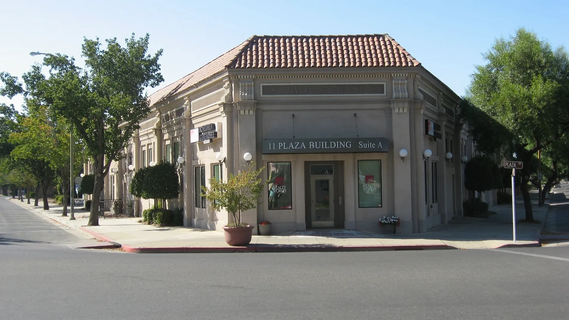
East Las Palmas Avenue in Patterson, California
East Las Palmas Avenue in Patterson is an asphalted main road (Road number CR J17). It runs in a northeast-southwest direction starting from West Las Palmas Avenue and crosses North 1st Street, South 1st Street, Weber Avenue, La Lynn Drive, Leverton Drive, North Hartley Street and South Hartley Street. It ends in a cul-de-sac. This street is part of the highway "J17". Nearby there is a gas station. East Las Palmas Avenue also exists in Alameda County.
- Road Type
- main road
- Route
- northeast-southwest
Image
Gas stations
Streets nearby
La Lynn Drive300 ft
Enrique Way300 ft
Primavera Way400 ft
El Cimino Drive0.1 mi
Paramatta Drive0.1 mi
Tyler Court0.1 mi
Finster Street0.1 mi
North 1st Street0.1 mi
Franco Way0.1 mi
Hoffman Court0.2 mi
Pasa Felix Drive0.2 mi
Hatfield Court0.2 mi
West Las Palmas AvenuePatterson Fire Department, U.S. Bank, Evangelical Covenant Church, Our Saviours Lutheran Church, Dollar Tree, True Value, Sherwin-Williams
0.2 mi
Leverton Drive0.2 mi
La Maria Way0.2 mi
Nordell Place0.2 mi
South 2nd StreetKwik Serve, AutoZone
0.2 mi
Tyler Street0.2 mi
Shirlinda Way0.2 mi
Halley Court0.2 mi
Chesterfield Drive0.2 mi
Sears Drive0.2 mi
North del Puerto AvenueBank of the West
0.3 mi
South Hartley Street0.3 mi
Berlin Way0.3 mi
North 2nd StreetPatterson Food Center
0.3 mi
Totman Court0.3 mi
Messer Place0.3 mi
Weber Avenue0.3 mi
Tenbrink Lane0.3 mi
Yancey Court0.3 mi
North Hartley Street0.3 mi
Demsey Court0.3 mi
Hillstock Court0.3 mi
Westfield Place0.3 mi
Westfield Lane0.3 mi
Spooner Court0.3 mi
Unidad Court0.3 mi
Chesterfield Court0.3 mi
Knutson Street0.3 mi
Washburn Street0.4 mi
Chase Street0.4 mi
Franquette Street0.4 mi
Payne Street0.4 mi
Car dealerships nearby
McAuley Ford0.3 mi
Parks nearby
North Park0.2 mi
South Park0.2 mi
Felipe Garza Park0.3 mi
Residential areas nearby
Las Palmas Mobile Estates0.2 mi
Public transit map Patterson Legend
| Railway | |
| Bus | |
| Streetcar |
Bicycle map Patterson Legend
| Bike path | |
| Bike lane on roadway | |
| Cycling allowed on bus lane | |
| Bicycle street | |
| Open to cyclists | |
| Open to cyclists, good path | |
| Cycling prohibited | |
| Cobblestone |
| Long-distance bike route | (depending on scale) | |
| Long-distance bike route |
Pedestrian map Patterson Legend
| Path |
| Long-distance hiking trail | (depending on scale) | |
| Long-distance hiking trail | ||
| Pedestrians prohibited |