
South 1st Street in Patterson, California
South 1st Street in Patterson is a residential street. It runs in a southeast-northwest direction starting from North 1st Street and crosses West Las Palmas Avenue, E Street and Orange Avenue and ends at Sperry Avenue. Nearby there is a tobacco shop.
- Road Type
- residential street
- Route
- southeast-northwest
Image
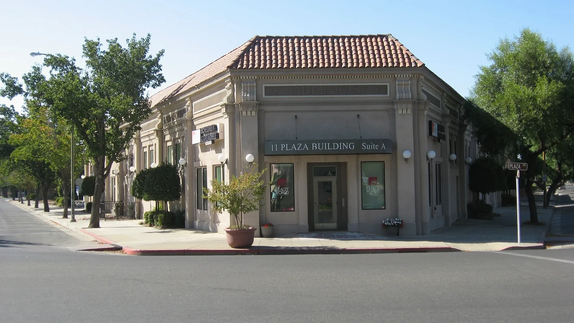
Tobacco shops
Streets nearby
South 2nd StreetKwik Serve, AutoZone
0.2 mi
South 3rd Street0.2 mi
Shirlinda Way0.2 mi
La Maria Way0.2 mi
Orange Avenue0.2 mi
Pasa Felix Drive0.2 mi
El Cimino Drive0.2 mi
Chesterfield Drive0.2 mi
D StreetNAPA Auto Parts
0.2 mi
C Street0.2 mi
B Street0.3 mi
Franco Way0.3 mi
Primavera Way0.3 mi
Enrique Way0.3 mi
South Salado Avenue0.3 mi
La Lynn Drive0.3 mi
Paramatta Drive0.3 mi
West Las Palmas AvenueEvangelical Covenant Church, Federated Methodist-Presbyterian Church, Our Saviours Lutheran Church, Patterson Fire Department, Dollar Tree, U.S. Bank, True Value, Sherwin-Williams
0.3 mi
South 4th Street0.3 mi
Sperry AvenueSubway, Walgreens, T-Mobile, Baskin-Robbins, Domino's, Les Schwab Tire Center, Chipotle, Panda Express, Great Clips, Wingstop, Thompson
0.3 mi
South 5th Street0.3 mi
F Street0.3 mi
South del Puerto AvenueCricket Wireless
0.4 mi
Ossie StreetPatterson City Hall
0.4 mi
North del Puerto AvenueBank of the West
0.4 mi
PlazaPatterson, Oak Valley Community Bank, Tri Counties Bank
0.4 mi
North 3rd Street0.4 mi
South el Circulo AvenueAce Hardware
0.4 mi
North Salado AvenuePatterson Branch Stanislaus County Free Library, United States Post Office, Sacred Heart Catholic Church
0.4 mi
Chesterfield Court0.4 mi
Westfield Place0.4 mi
Westfield Lane0.4 mi
Messer Place0.4 mi
Yancey Court0.4 mi
Sears Drive0.4 mi
South Hartley Street0.4 mi
Hoffman Court0.5 mi
North 2nd StreetPatterson Food Center
0.5 mi
Tyler Court0.5 mi
Finster Street0.5 mi
Hatfield Court0.5 mi
Nordell Place0.5 mi
Leverton Drive0.5 mi
Car dealerships nearby
McAuley Ford0.4 mi
Museums nearby
The Center Building0.4 mi
Parks nearby
South Park0.3 mi
North Park0.4 mi
Residential areas nearby
Las Palmas Mobile Estates0.2 mi
Town halls nearby
City Hall0.4 mi
Public transit map Patterson Legend
| Railway | |
| Bus | |
| Streetcar |
Bicycle map Patterson Legend
| Bike path | |
| Bike lane on roadway | |
| Cycling allowed on bus lane | |
| Bicycle street | |
| Open to cyclists | |
| Open to cyclists, good path | |
| Cycling prohibited | |
| Cobblestone |
| Long-distance bike route | (depending on scale) | |
| Long-distance bike route |
Pedestrian map Patterson Legend
| Path |
| Long-distance hiking trail | (depending on scale) | |
| Long-distance hiking trail | ||
| Pedestrians prohibited |