
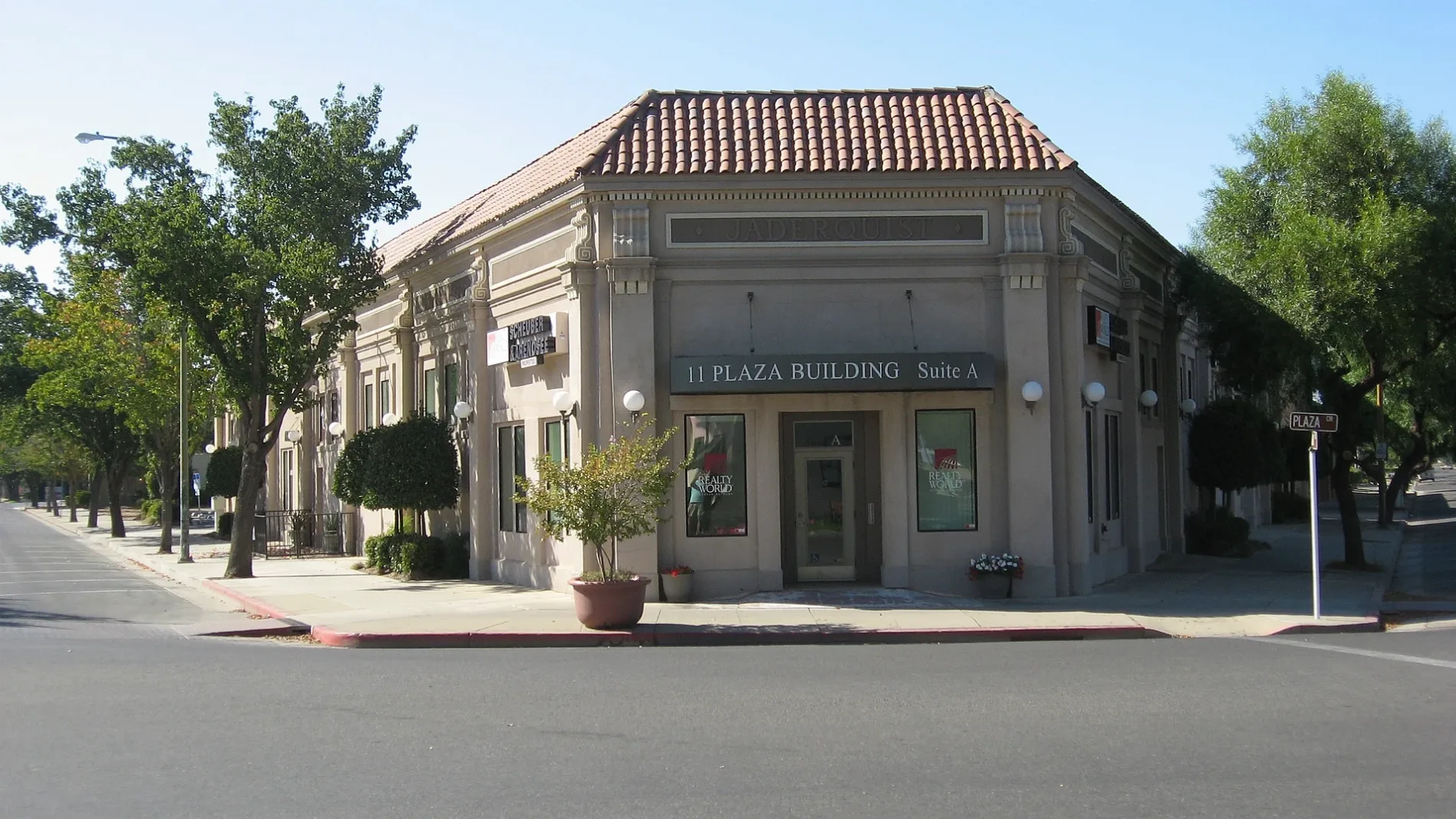
South Salado Avenue in Patterson, California
South Salado Avenue in Patterson is a residential street and it runs in an east-west direction starting from Plaza and crosses South 2nd Street and South el Circulo Avenue.
- Road Type
- residential street
- Route
- east-west
Image
Gas stations
Town halls
Hardware stores
Post offices
Car dealerships
Places of worship
Schools
Libraries
Tobacco shops
Banks
Auto parts stores
Cell phone stores
Fire stations
Supermarkets
Streets nearby
North del Puerto AvenueBank of the West
200 ft
PlazaPatterson, Oak Valley Community Bank, Tri Counties Bank
250 ft
North 3rd Street250 ft
Ossie StreetPatterson City Hall
400 ft
West Las Palmas AvenueEvangelical Covenant Church, Federated Methodist-Presbyterian Church, Our Saviours Lutheran Church, Patterson Fire Department, Dollar Tree, U.S. Bank, True Value, Sherwin-Williams
500 ft
South el Circulo AvenueAce Hardware
0.1 mi
South 4th Street0.1 mi
F Street0.1 mi
North el Circulo Avenue0.1 mi
H Street0.2 mi
North 4th Street0.2 mi
North 2nd StreetPatterson Food Center
0.2 mi
South 5th Street0.2 mi
South del Puerto AvenueCricket Wireless
0.3 mi
South 3rd Street0.3 mi
South 6th Street0.3 mi
North 1st Street0.3 mi
D StreetNAPA Auto Parts
0.3 mi
Enrique Way0.3 mi
North 5th StreetNorthmead Elementary School
0.3 mi
El Cimino Drive0.3 mi
La Lynn Drive0.3 mi
Primavera Way0.3 mi
I Street0.3 mi
South 1st StreetPatterson Discount Cigarette & More
0.3 mi
Franco Way0.4 mi
Juarez Court0.4 mi
C Street0.4 mi
South 7th Street0.4 mi
North 7th StreetPatterson High School
0.4 mi
North 6th StreetMasonic Hall
0.4 mi
Pasa Felix Drive0.4 mi
J Street76
0.4 mi
K Street0.4 mi
E StreetFirst Baptist Church
0.4 mi
8th Street0.4 mi
South 2nd StreetKwik Serve, AutoZone
0.4 mi
Toyon Lane0.4 mi
B Street0.4 mi
South 8th Street0.5 mi
Madrone Lane0.5 mi
Sperry AvenueSubway, Walgreens, T-Mobile, Baskin-Robbins, Domino's, Les Schwab Tire Center, Chipotle, Panda Express, Great Clips, Wingstop, Thompson
0.5 mi
Car dealerships nearby
McAuley Ford0.1 mi
Churches nearby
First Assembly of God Church0.2 mi
Museums nearby
The Center Building150 ft
Parks nearby
South Park400 ft
North Park450 ft
Residential areas nearby
Las Palmas Mobile Estates0.3 mi
Town halls nearby
City Hall350 ft
Public transit map Patterson Legend
| Railway | |
| Bus | |
| Streetcar |
Bicycle map Patterson Legend
| Bike path | |
| Bike lane on roadway | |
| Cycling allowed on bus lane | |
| Bicycle street | |
| Open to cyclists | |
| Open to cyclists, good path | |
| Cycling prohibited | |
| Cobblestone |
| Long-distance bike route | (depending on scale) | |
| Long-distance bike route |
Pedestrian map Patterson Legend
| Path |
| Long-distance hiking trail | (depending on scale) | |
| Long-distance hiking trail | ||
| Pedestrians prohibited |