
Damon Drive in Northglenn, Colorado
Damon Drive in Northglenn is a residential street. It runs in a northeast-southwest direction starting from Fred Drive. Damon Drive also exists in El Paso County.
- Road Type
- residential street
- Route
- northeast-southwest
Image
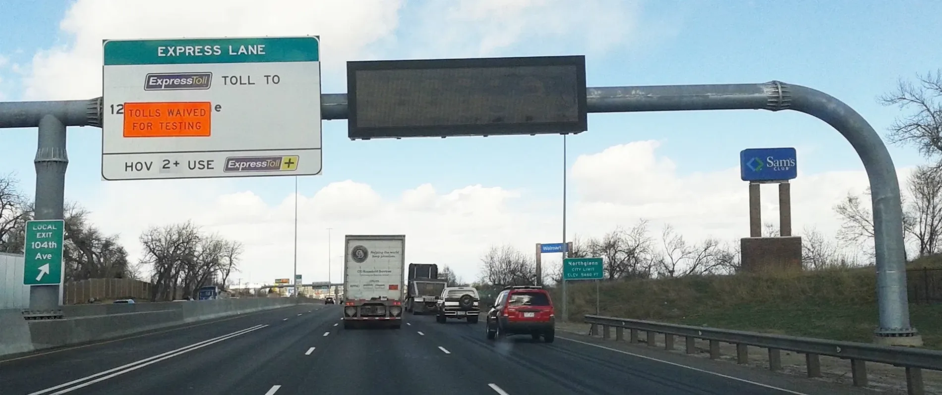
Fast food restaurants
Garden centers
Laundries
Pubs
Bus stops
Supermarkets
Convenience stores
Gas stations
Restaurants
Liquor stores
Auto parts stores
Clinics
Streets nearby
Lou Drive0.2 mi
West 96th Avenue0.2 mi
Fox Street0.2 mi
Covey Court0.2 mi
Switzer Drive0.2 mi
Fred Drive0.2 mi
Pelon Drive0.2 mi
Switzer Lane0.2 mi
Melody Circle0.3 mi
North Valley HighwayThe Castle Event Center
0.3 mi
Thornton ParkwayCircle K, Frank's Place, Taste of Philly, Chipotle
0.3 mi
Bell Lane0.3 mi
Alamo Drive0.3 mi
Civic Center PathGolden Corral
0.4 mi
Conifer Road0.4 mi
Niver Creek TrailThornton Park-n-Ride
0.4 mi
Bruce Lane0.4 mi
Huron StreetHuron Street & West 99th Avenue, North Metro Fire / Rescue Department Station 62, Huron Street & Naiad Drive, Huron Street & West 104th Avenue, Huron Street & Kennedy Drive, 11000 Block Huron Street, Huron Street & Community Center Drive, Huron Street & West 112th Avenue, Huron Street & West 102nd Place, Huron Street & West 100th Place, Huron Street & West 106th Avenue
0.4 mi
West 99th Avenue0.4 mi
Civic Center DriveThornton Fire Department - Administration, Thornton, Thornton Police Department, Thornton Justice Center
0.4 mi
Clark Drive0.4 mi
Melody DriveFirestone, Car Toys, PetSmart
0.4 mi
Belford Drive0.5 mi
Dodge Drive0.5 mi
Grant StreetDental, Red Wing, Dickey's Barbecue Pit, T-Mobile, Buffalo Wild Wings
0.5 mi
Greenway Trail0.5 mi
East 97th Avenue0.5 mi
East 98th Avenue0.5 mi
Banks nearby
BBVA Compass0.5 mi
Wells Fargo0.6 mi
Buildings nearby
Thornton Police0.3 mi
Thornton Justice Center0.3 mi
Thornon Fire Dept Admin0.4 mi
Canals nearby
Farmers ditch0.4 mi
Clinics nearby
NextCare Urgent Care0.5 mi
Fire stations nearby
Thornton Fire Department Station 20.3 mi
Gas stations nearby
Sam's Club Fuel Station0.5 mi
Meadows nearby
Badding Open Space0.2 mi
Parks nearby
Civic Center Park0.4 mi
Places of worship nearby
Community of Christ - North Valley0.2 mi
Retail areas nearby
Pinnacle0.5 mi
Schools nearby
North Mor Elementary School250 ft
Social facilities nearby
Alpine Living Center0.6 mi
Supermarkets nearby
Walmart Supercenter0.4 mi
Town halls nearby
Thornton Civic Center0.4 mi
Trampoline parks nearby
Sky Zone0.6 mi
Waters nearby
Croke Lake0.3 mi
Wetlands nearby
Badding Reservoir0.1 mi
Wholesale stores nearby
Sam's Club0.5 mi
 Public transit map Northglenn Legend
| Railway | |
| Bus | |
| Streetcar |
 Bicycle map Northglenn Legend
| Bike path | |
| Bike lane on roadway | |
| Cycling allowed on bus lane | |
| Bicycle street | |
| Open to cyclists | |
| Open to cyclists, good path | |
| Cycling prohibited | |
| Cobblestone |
| Long-distance bike route | (depending on scale) | |
| Long-distance bike route |
 Pedestrian map Northglenn Legend
| Path |
| Long-distance hiking trail | (depending on scale) | |
| Long-distance hiking trail | ||
| Pedestrians prohibited |