
2nd Street in Thornton, Colorado
2nd Street in Thornton is a residential street. It runs in a southeast-northwest direction starting from Birch Avenue and crosses Lake Avenue and ends at East 124th Avenue. Nearby there is a restaurant. The nearest stop is Eastlake & 124th (about 150 m away). 2nd Street also exists in Jackson County, Routt County, Prowers County, Baca County and Bent County.
- Road Type
- residential street
- Route
- southeast-northwest
Image
Restaurants
Streets nearby
3rd Street350 ft
Lake AvenueLake Ave Inn
350 ft
East 126th Avenue0.1 mi
1st StreetEastlake & 124th
0.1 mi
East 126th Loop0.1 mi
Eastlake Drive0.1 mi
East 125th Place0.2 mi
Birch Avenue0.2 mi
Josephine Street0.2 mi
East 125th Court0.2 mi
East 124th CourtEastlake Post Office
0.2 mi
East 126th Court0.2 mi
East 127th Avenue0.2 mi
Claude Court0.2 mi
East 127th Drive0.2 mi
East 127th Place0.2 mi
East 124th AvenueEastlake, Lisa Anne's
0.2 mi
East 125th Way0.2 mi
Eastlake Avenue0.2 mi
East 126th Way0.3 mi
East 127th Circle0.3 mi
York StreetYork International School, York St & Thornton Pkwy, York St & E 97th Ave, York St & E 98th Ave
0.3 mi
Columbine Court0.3 mi
East 128th Drive0.3 mi
East 127th Court0.3 mi
North Lake Drive0.3 mi
Fillmore Street0.3 mi
East 128th Avenue128th Ave & Bellaire St
0.3 mi
Elizabeth Street0.3 mi
Josephine Court0.3 mi
Columbine Street0.3 mi
Claude Place0.3 mi
East 126th PlaceThe Bagel Bakery & Cupcake Shoppe, Max's Barbershop, Capri Pizza
0.3 mi
East 124th Drive0.4 mi
Columbine Way0.4 mi
Vine StreetWind Dance, Vine St & Rowena St
0.4 mi
East 129th Drive0.4 mi
Eastlake Nature TrailTourist
0.4 mi
East 128th Place0.4 mi
Columbine Circle0.4 mi
Commercial buildings nearby
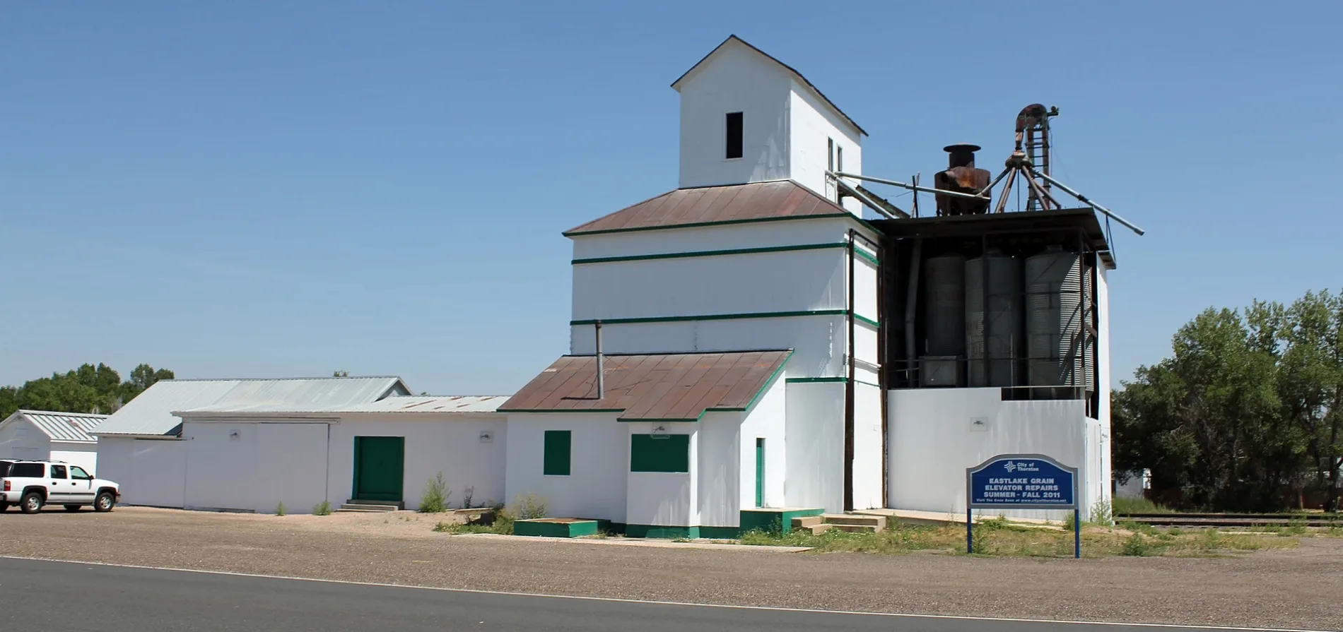
Eastlake Farmers Co-Operative Elevator Company0.1 mi
York Street Station Office Complex0.3 mi
Parks nearby
Eastlake Village Park550 ft
Eastlake Shores Park0.3 mi
Platforms nearby
Eastlake & 124th0.1 mi
Post offices nearby
Eastlake Post Office0.2 mi
Railways nearby
RTD Commuter Rail0.1 mi
RTD N Line0.2 mi
Residential areas nearby
Eastlake0.2 mi
 Public transit map Thornton Legend
| Railway | |
| Bus | |
| Streetcar |
 Bicycle map Thornton Legend
| Bike path | |
| Bike lane on roadway | |
| Cycling allowed on bus lane | |
| Bicycle street | |
| Open to cyclists | |
| Open to cyclists, good path | |
| Cycling prohibited | |
| Cobblestone |
| Long-distance bike route | (depending on scale) | |
| Long-distance bike route |
 Pedestrian map Thornton Legend
| Path |
| Long-distance hiking trail | (depending on scale) | |
| Long-distance hiking trail | ||
| Pedestrians prohibited |