
Max Drive in Castle Pines, Colorado
Max Drive in Castle Pines is a residential street. It runs in an east-west direction and crosses Lagae Road and ends at East Castle Pines Parkway, while the other end is a cul-de-sac. Nearby you can find a doctor's office and a dentist office.
- Road Type
- residential street
- Route
- east-west
Image
Streets nearby
Village Square TerraceCastle Pines, Pino's Italian Kitchen & Bar
500 ft
Village Square LaneUSPS Post Office, Sierk Children’s Dentistry - Castle Pines, Castle Pines Veterinary Hospital, Brandon Linn Orthodontics, Golden Flame Hot Wings, Pho 5, Duke's Steakhouse, Scotty's Sliders
550 ft
Kendall Court0.2 mi
Charter Oaks Drive0.2 mi
Lagae Road0.2 mi
Village Square Drive0.2 mi
Hyde Park CircleThe Berg Haus
0.2 mi
Alex Court0.2 mi
Dale CourtTandoori Flames
0.2 mi
Mira Vista Lane0.2 mi
Megan Court0.3 mi
Courtfield Way0.3 mi
North Debbie Lane0.3 mi
East Castle Pines ParkwayStarbucks, Ziggie's Coffee, King Soopers Fuel Center
0.3 mi
Villa Drive0.3 mi
Finsberry Way0.3 mi
Othello Street0.3 mi
East Second Avenue0.3 mi
Bedlam Drive0.3 mi
Brailsford Court0.3 mi
Medalist Court0.3 mi
Yorkshire Drive0.3 mi
Saxeborough Drive0.4 mi
East 1st Avenue0.4 mi
Suffolk Lane0.4 mi
Coventry Drive0.4 mi
East 2nd AvenueBeverly Hills
0.4 mi
Beverly Boulevard0.5 mi
Ipswich Court0.5 mi
Cumbria Court0.5 mi
Doncaster Court0.5 mi
Carolyn Drive0.5 mi
East 3rd Avenue0.6 mi
Amenities nearby
HighPointe Academy Castle Pines0.2 mi
Auto repair shops nearby
Simply Euro Automotive Repair0.2 mi
Banks nearby
KeyBank400 ft
Independent Financial0.3 mi
PNC Bank0.3 mi
Convenience stores nearby
7-Eleven0.2 mi
Drugstores nearby
Walgreens450 ft
Fast food restaurants nearby
Wendy's0.4 mi
Fire stations nearby
South Metro Fire Rescue Station 360.2 mi
Gas stations nearby
Conoco0.2 mi
Phillips 660.3 mi
Libraries nearby
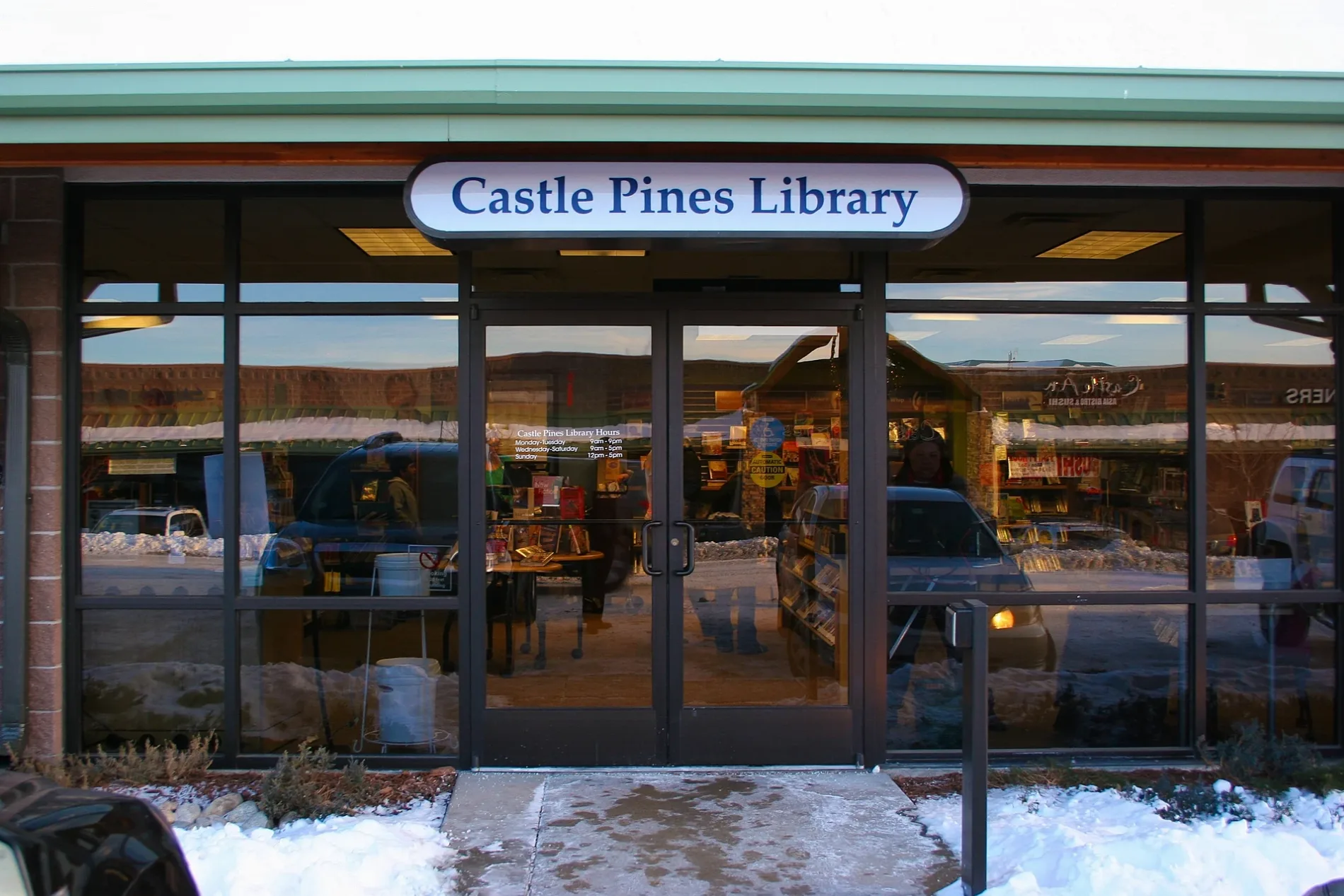
Douglas County Libraries0.1 mi
Residential areas nearby
Marquis Castle Pines0.4 mi
Retail areas nearby
Castle Pines Marketplace0.3 mi
Schools nearby
DCS Montessori Charter School0.2 mi
Tire dealers nearby
Big O Tires0.2 mi
 Public transit map Castle Pines Legend
| Railway | |
| Bus | |
| Streetcar |
 Bicycle map Castle Pines Legend
| Bike path | |
| Bike lane on roadway | |
| Cycling allowed on bus lane | |
| Bicycle street | |
| Open to cyclists | |
| Open to cyclists, good path | |
| Cycling prohibited | |
| Cobblestone |
| Long-distance bike route | (depending on scale) | |
| Long-distance bike route |
 Pedestrian map Castle Pines Legend
| Path |
| Long-distance hiking trail | (depending on scale) | |
| Long-distance hiking trail | ||
| Pedestrians prohibited |