
Manhart Street in Douglas County, Colorado
Manhart Street in Douglas County is a two-lane, asphalted secondary road. It runs in a north-south direction and crosses US 85 Frontage Road, Santa Fe Drive, Platte Avenue, North Plum Avenue, Rio Grand Avenue, West Douglas Avenue, Jarre Canyon Road and North Perry Park Road. It ends in a cul-de-sac. This street is part of the highway "67". Nearby there is among others a pub.
- Road Type
- secondary road
- Lanes
- 2
- Route
- north-south
Image
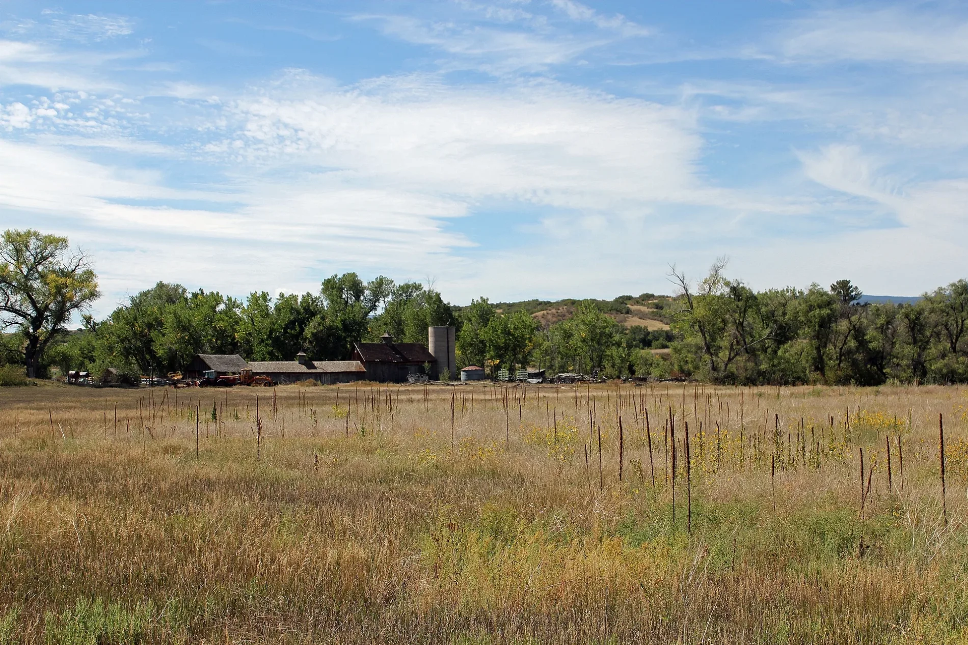
Pubs
Streets nearby
North Victor Street0.3 mi
Clay Street0.3 mi
West Douglas Avenue0.3 mi
43860.4 mi
North Plum Avenue0.4 mi
54290.4 mi
54400.4 mi
54500.4 mi
Victor Street0.4 mi
44140.4 mi
North Hunt Street0.4 mi
44400.4 mi
North Huxtable Street0.4 mi
44380.4 mi
Platte AvenueSouth Sedalia, Berean Fundamental Church of Sedalia
0.5 mi
Keep Drive0.5 mi
Karcher Street0.5 mi
41570.5 mi
Curtis Street0.5 mi
Santa Fe DriveBurger King, 7-Eleven, Happy Canyon Car Wash, RedStone Veterinary, Blakeland, Kellytown
0.5 mi
US 85 Frontage RoadO'Brien's Cafe
0.6 mi
Rio Grand Avenue0.6 mi
5496ChargePoint
0.7 mi
5496 US Highway 850.7 mi
Delva Way0.8 mi
Woodley Avenue0.8 mi
52950.9 mi
Jarre Canyon RoadPine Nook, West Douglas County Fire Protection District Station 132
0.9 mi
Delva Way - Mine Access1.0 mi
North Perry Park Road1.0 mi
Abandoned railways nearby
ATSF Flyover0.7 mi
Convenience stores nearby
Sedalia Country Store0.4 mi
Fire stations nearby
West Douglas County Fire Protection District Station 40.5 mi
Gardens nearby
Demonstration Garden0.5 mi
Gas stations nearby
Conoco0.5 mi
Industrial areas nearby
Colorado Department of Transportation0.3 mi
Douglas County Public Works0.3 mi
CORE Electric Cooperative0.7 mi
Town of Castle Rock Water1.1 mi
Post offices nearby
Sedalia Post Office0.3 mi
Railways nearby
UP Colorado Springs Subdivision0.5 mi
BNSF Sedalia Siding0.8 mi
UP Sedalia Siding0.8 mi
BNSF Pikes Peak Subdivision0.9 mi
Restaurants nearby
Gabriel's At The Old House0.4 mi
Wide Open Saloon0.5 mi
Streams nearby
East Plum Creek1.0 mi
Other nearby
Sedalia Substation0.4 mi
Sedalia0.7 mi
 Public transit map Douglas County Legend
| Railway | |
| Bus | |
| Streetcar |
 Bicycle map Douglas County Legend
| Bike path | |
| Bike lane on roadway | |
| Cycling allowed on bus lane | |
| Bicycle street | |
| Open to cyclists | |
| Open to cyclists, good path | |
| Cycling prohibited | |
| Cobblestone |
| Long-distance bike route | (depending on scale) | |
| Long-distance bike route |
 Pedestrian map Douglas County Legend
| Path |
| Long-distance hiking trail | (depending on scale) | |
| Long-distance hiking trail | ||
| Pedestrians prohibited |