
Duckwood Road in Fountain, Colorado
Duckwood Road in Fountain is a service road. It runs in an east-west direction and crosses North Santa Fe Avenue. It ends in a cul-de-sac.
- Road Type
- service road
- Route
- east-west
Image
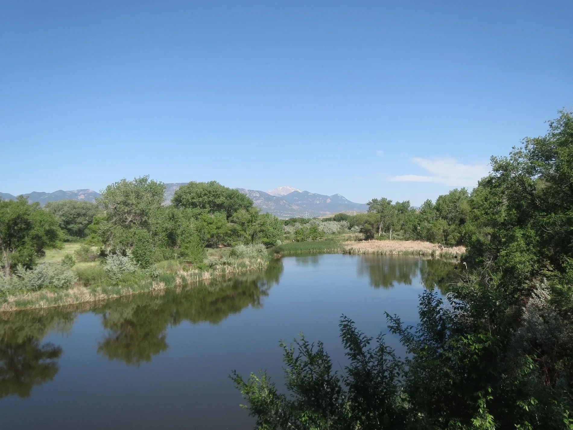
Schools
Banks
Gas stations
Pharmacies
Fast food restaurants
Dentist offices
Vape shops
Restaurants
Convenience stores
Hospitals
Hair salons
Streets nearby
North Santa Fe Avenue0.2 mi
Catfish Marsh Road0.3 mi
Pepper Grass Lane0.3 mi
West Mesa Road0.3 mi
C and S Road0.3 mi
Fountain Creek Regional Trail0.4 mi
Nature Trail0.4 mi
South Mesa RoadKum & Go
0.5 mi
East Mesa Road0.5 mi
Walbrach Way0.6 mi
Rustique Drive0.7 mi
Conley Boulevard0.7 mi
Cumming Avenue0.7 mi
Ventana Lane0.7 mi
Camino del Rey0.7 mi
Charter Oak Ranch Road0.7 mi
Lodi LaneKum & Go
0.7 mi
Rice Lane0.7 mi
Highway 85Dairy Queen, Valley Mini Storage, Jack in the Box, Applebee's, Mystics Nails Salon, Circle K, Wendy's, Carefree Carwash, ACE Cash Express
0.7 mi
Timber Rail PointAction Behavior Centers - ABA Therapy for Autism
0.8 mi
Assembly Court0.8 mi
Syracuse Street0.9 mi
Mesa Ridge Parkway0.9 mi
Willow Springs Road0.9 mi
Bandley Drive1.0 mi
Ronald Reagan Highway1.0 mi
Shops nearby
Windish RV Center0.4 mi
Tourism nearby
Nature Center0.3 mi
Buildings nearby
Medium Pavilion #3500 ft
Medium Pavilion #20.1 mi
Small Pavilion #50.1 mi
Small Pavilion #60.2 mi
Large Pavilion #10.2 mi
Information Kiosk0.4 mi
Cafes nearby
Dutch Bros. Coffee0.8 mi
Canals nearby
Chillcotte Canal No 270.2 mi
Car washes nearby
Quick Quack Car Wash0.8 mi
Convenience stores nearby
Good 2 Go0.8 mi
Doctor's offices nearby
UC health0.8 mi
Pet grooming salons nearby
Boardmoor Pet Resort0.5 mi
Railways nearby
BNSF Pikes Peak Subdivision0.2 mi
UP Colorado Springs Subdivision1.0 mi
Rv parks nearby
Colorado Springs KOA Holiday0.6 mi
Self storages nearby
J&S Storage0.6 mi
Specialty stores nearby
Front Range Kubota Fountain0.5 mi
Supermarkets nearby
King Soopers Marketplace0.6 mi
Tire dealers nearby
Discount Tire0.9 mi
Other nearby
Fountain Substation0.4 mi
CDF Fountain North Substation0.6 mi
 Public transit map Fountain Legend
| Railway | |
| Bus | |
| Streetcar |
 Bicycle map Fountain Legend
| Bike path | |
| Bike lane on roadway | |
| Cycling allowed on bus lane | |
| Bicycle street | |
| Open to cyclists | |
| Open to cyclists, good path | |
| Cycling prohibited | |
| Cobblestone |
| Long-distance bike route | (depending on scale) | |
| Long-distance bike route |
 Pedestrian map Fountain Legend
| Path |
| Long-distance hiking trail | (depending on scale) | |
| Long-distance hiking trail | ||
| Pedestrians prohibited |