
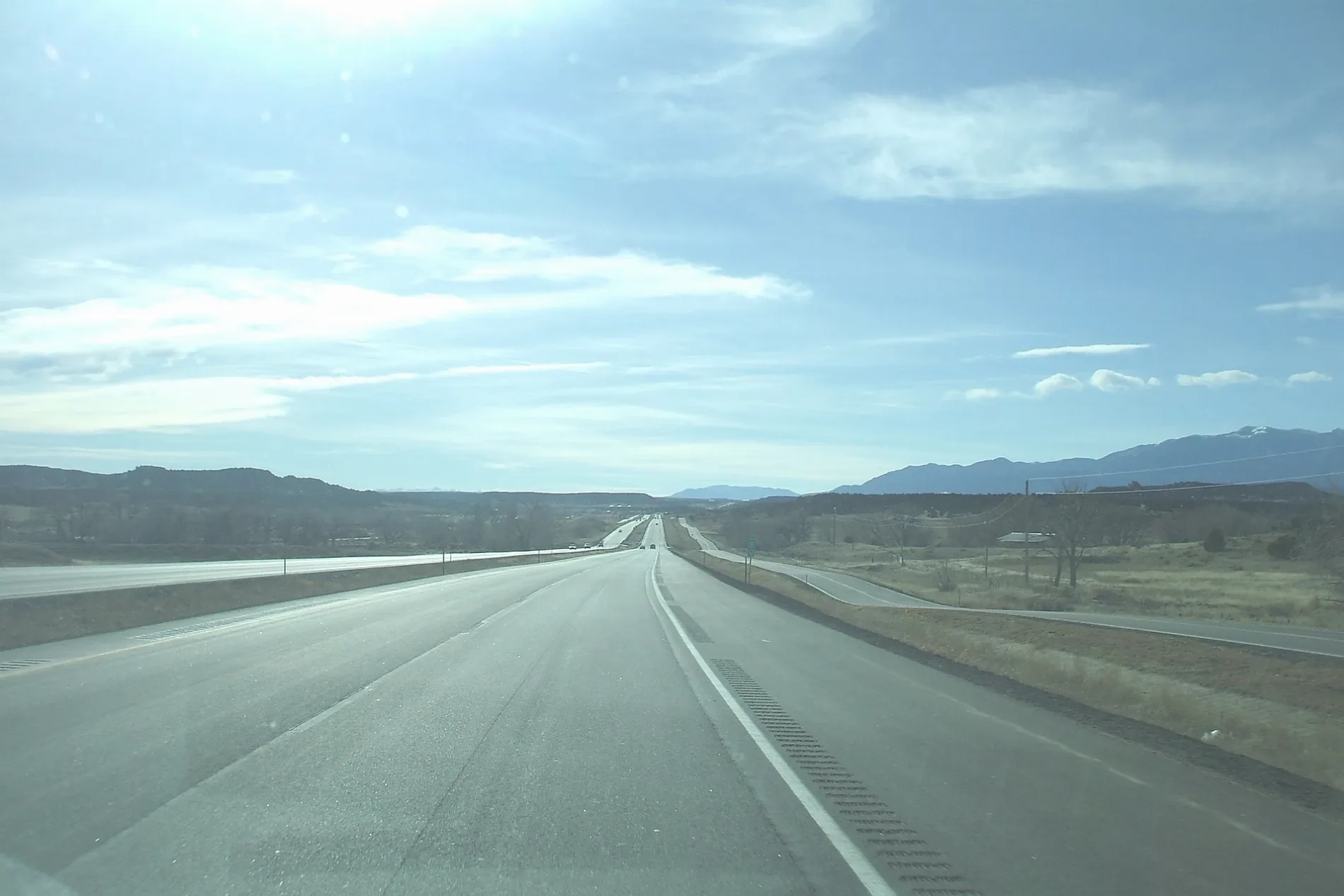
Ronald Reagan Highway in El Paso County, Colorado
Ronald Reagan Highway in El Paso County is a two-lane, asphalted, unlit highway. It runs in a southeast-northwest direction and ends at Monument Valley Freeway, while the other end is a cul-de-sac. It connects El Paso County, Colorado Springs, Fountain and Stratmoor. Ronald Reagan Highway is also known as I-25. This street is part of the highways 25, US 85 (CO, unsigned), US 87 (CO southbound, unsigned) and US 87 (CO northbound, unsigned). Nearby you can find 2 restaurants, a post office and a gas station. Ⓦ.
- Bicycle
- yes
- Road Type
- highway
- Lanes
- 2
- Speed Limit
- 75 mph
- Route
- southeast-northwest
Image
Restaurants
Streets nearby
Ray Nixon Road0.5 mi
Link Road0.7 mi
Jordan Road0.7 mi
Well Field Road0.8 mi
RMB Court0.9 mi
Logro Drive0.9 mi
Orleans Road0.9 mi
Coppermine Court0.9 mi
Gould Road0.9 mi
Leandro Drive1.0 mi
Old Pueblo Road1.0 mi
Ezperanza Way1.0 mi
Jemez Lane1.0 mi
Blu Heron Court1.1 mi
Barn Owl Drive1.1 mi
Taos Circle1.1 mi
Alatna Place1.1 mi
Hidden Prairie Parkway1.1 mi
Tirone Lane1.1 mi
Arvada Street1.1 mi
Berry Farm Road1.1 mi
Feliz Way1.1 mi
Traders Parkway1.1 mi
Eagle Street1.1 mi
Wilson Road1.1 mi
Colorado1.1 mi
Dellacroce Road1.1 mi
Denver1.1 mi
Boulder Street1.2 mi
Justamere Drive1.2 mi
Gateway Road1.2 mi
Melden Way1.2 mi
Jimmy Camp Road1.2 mi
Buckhead Place1.2 mi
Quercia Circle1.2 mi
Marshall Drive1.2 mi
Pueblo Avenue1.2 mi
Charter Oak Ranch Road1.2 mi
Prasanna Place1.2 mi
Lavanya Place1.2 mi
South Santa Fe AvenueOlde Town Coffee Shop
1.3 mi
Benecia Drive1.3 mi
Santa Fe Avenue1.3 mi
Champlin Lane1.4 mi
Champlin Drive1.4 mi
Railways nearby
BNSF Pikes Peak Subdivision1.3 mi
Rivers nearby
Fountain Creek1.1 mi
Variety stores nearby
Dollar General1.2 mi
Other nearby
Fountain0.6 mi
| Located in | Las Animas County, Huerfano County, Pueblo County, El Paso County, Douglas County, Arapahoe County, Denver, Adams County, Broomfield, Weld County, Larimer County |
|---|---|
| Country | United States |
 Public transit map El Paso County Legend
| Railway | |
| Bus | |
| Streetcar |
 Bicycle map El Paso County Legend
| Bike path | |
| Bike lane on roadway | |
| Cycling allowed on bus lane | |
| Bicycle street | |
| Open to cyclists | |
| Open to cyclists, good path | |
| Cycling prohibited | |
| Cobblestone |
| Long-distance bike route | (depending on scale) | |
| Long-distance bike route |
 Pedestrian map El Paso County Legend
| Path |
| Long-distance hiking trail | (depending on scale) | |
| Long-distance hiking trail | ||
| Pedestrians prohibited |