
Tyler Street in Manitou Springs, Colorado
Tyler Street in Manitou Springs is a residential street. It runs in a north-south direction starting from Oak Place and crosses Santa Fe Place and Plainview Place and ends at Terrace Place. Tyler Street also exists in Pueblo County.
- Road Type
- residential street
- Route
- north-south
Image
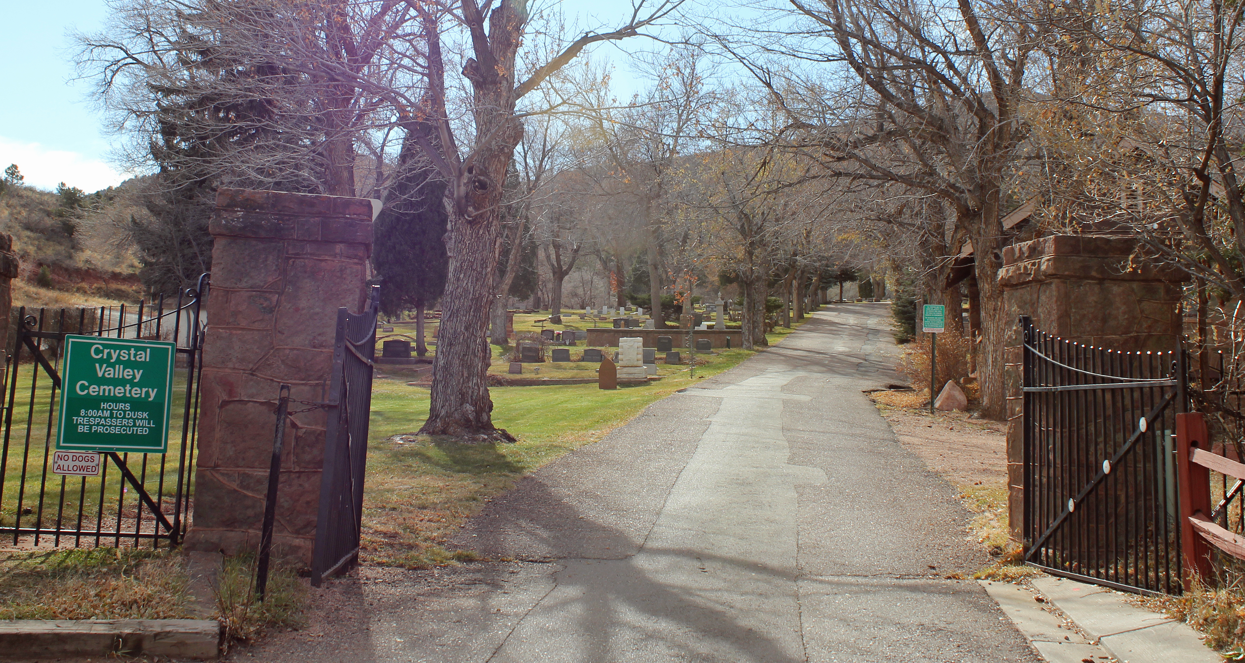
Guest houses
Bike rentals
Cannabis dispensaries
Drinking water fountains
Cafes
Bus stops
Fast food restaurants
Stations
Parking lots
Artworks
Florists
Ice cream shops
Streets nearby
Santa Fe Place100 ft
Taos Place300 ft
Terrace Place500 ft
Poplar Place550 ft
Oak Place0.1 mi
Crystal Park Road0.1 mi
Plainview Place0.1 mi
Spur Road0.1 mi
Grandview Place0.1 mi
Keithley Road0.2 mi
Creek Path0.2 mi
Manitou AvenueSubway, Goodrich Ice Cream, Notes in Bloom, 423 Manitou, Dillon Mobility Hub, The fountain creek inn, Big Red Chair, Manitou & Hwy 24, Manitou & Beckers EB, Manitou & Beckers WB, Pikeride - Dillon Mobility Hub, Cheyenne Spring, Soda Spring, Navajo Spring, Stratton Spring, Manitou Springs, Olive Tap, American Toy Store, Twigs of Manitou, Salus, Bear Cave, Colorado Custard Company, Colorado Custom Metals, Manitou Kitchen Shop, Tutta Sweets, All Tribes Native American Arts and Crafts, Mushroom Monday, Patsy's Original Candy, Shoshone Spring, Border Burger Bar, Swirl Wine Bar, The Antique Emporium, Green Horse Gallery, Plinkety Plink, Opals Place, The Whickerbill, The 10 Spot, Mona Lisa Fondue, Manitou Brewing Company, Starbuds, Manitou & Oak, Manitou & Mayfair
0.2 mi
Banks Place0.2 mi
Keithley Place0.2 mi
Rockledge Court0.2 mi
Rockledge Lane0.2 mi
Mayfair Avenue0.2 mi
El Monte Place0.2 mi
Arapahoe0.2 mi
High School Trail0.3 mi
Bond Street0.3 mi
Fountain Creek to El Paso connector trail0.4 mi
El Paso BoulevardHiawatha Gardens Parking, Red Crags Bed and Breakfast, El Paso & Mayfair
0.4 mi
East Fountain Place0.4 mi
Art galleries nearby
Cherokees of Manitou0.2 mi
Colorado Bear Country0.3 mi
Buildings nearby
Mushroom Monday350 ft
Allen Realty500 ft
Farmer Brother's Coffee0.1 mi
Manitou Springs High School0.1 mi
A0.2 mi
Shared Integrated Learning Center0.2 mi
B0.2 mi
Blue Skies Inn Bed & Breakfast0.2 mi
The Craftwood Inn0.3 mi
SunMountain Center0.3 mi
Briarhurst Manor0.3 mi
Gift shops nearby
Nature of Things0.2 mi
Liquor stores nearby
Jack's Liquors0.1 mi
Motels nearby
Magnuson Hotel500 ft
Green Willow Motel0.1 mi
Super 80.2 mi
Eagle Motel0.3 mi
Restaurants nearby
Savelli's Pizza550 ft
Uncle Sam's Pancake House0.2 mi
Rivers nearby
Fountain Creek0.3 mi
Rv parks nearby
Pikes Peak RV Park0.1 mi
Sports centers nearby
Manitou Pool & Fitness Center0.2 mi
Tourist information centers nearby
Manitou Springs Chamber of Commerce and Visitor's Information Center0.2 mi
Public transit map Manitou Springs Legend
| Railway | |
| Bus | |
| Streetcar |
Bicycle map Manitou Springs Legend
| Bike path | |
| Bike lane on roadway | |
| Cycling allowed on bus lane | |
| Bicycle street | |
| Open to cyclists | |
| Open to cyclists, good path | |
| Cycling prohibited | |
| Cobblestone |
| Long-distance bike route | (depending on scale) | |
| Long-distance bike route |
Pedestrian map Manitou Springs Legend
| Path |
| Long-distance hiking trail | (depending on scale) | |
| Long-distance hiking trail | ||
| Pedestrians prohibited |