
Parkway in Huerfano County, Colorado
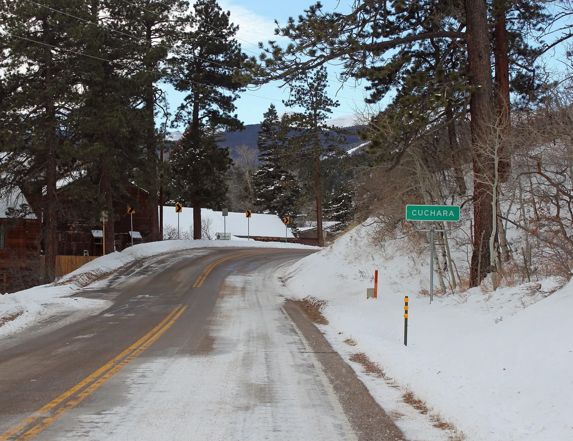
Parkway in Huerfano County is a residential street. It runs in a southeast-northwest direction and crosses High Road and ends at City Avenue, while the other end is a cul-de-sac.
- Road Type
- residential street
- Route
- southeast-northwest
Image
Town halls
Campgrounds
Bakeries
Recycling stations
Banks
Gift shops
Places of worship
Gas stations
Supermarkets
Rv parks
Schools
ATMs
Cemeteries
Theaters
Auto repair shops
Clinics
Streets nearby
Aspen Avenue200 ft
Elm Ridge Road250 ft
Texas Hill Avenue350 ft
5th AvenueCuchara
0.1 mi
Columbine Avenue0.1 mi
Oak Street0.1 mi
City Avenue0.1 mi
Cuchara Avenue0.1 mi
South City Avenue0.2 mi
High Road0.2 mi
Shady Lane0.2 mi
Meadow Lane0.2 mi
Court Street0.2 mi
Brook Lane0.2 mi
West Brook Drive0.3 mi
Hill Road0.3 mi
River Lane0.3 mi
East Brook Drive0.3 mi
Brook Drive0.4 mi
Black Bear Road0.4 mi
Spring Creek Picnic Ground RoadSpring Creek Trailhead
0.6 mi
Bonnett Creek Road0.8 mi
Road 4070.8 mi
Road 4060.9 mi
Dodgeton Trail0.9 mi
Road 4051.0 mi
Road 4011.0 mi
Road 4031.0 mi
Road 4021.1 mi
Road 4041.1 mi
1302C1.4 mi
Columbine1.5 mi
Butter Cup1.6 mi
Park Road1.7 mi
Ponderosa Road1.8 mi
Britton Road1.9 mi
Britton Trail1.9 mi
Bars nearby
Yacht Club0.1 mi
Dog Bar0.2 mi
Commercial buildings nearby
Dakota Dukes0.1 mi
Hotels nearby
Cuchara Inn0.2 mi
Dodgeton Creek Inn0.2 mi
Cuchara River Bed and Breakfast0.2 mi
Houses nearby
Cabin0.1 mi
Cuchara Cabin & Condo Rentals0.2 mi
Restaurants nearby
Timbers0.1 mi
Rivers nearby
Cucharas River1.1 mi
Streams nearby
White Creek0.7 mi
Big Branch Creek1.9 mi
 Public transit map Huerfano County Legend
| Railway | |
| Bus | |
| Streetcar |
 Bicycle map Huerfano County Legend
| Bike path | |
| Bike lane on roadway | |
| Cycling allowed on bus lane | |
| Bicycle street | |
| Open to cyclists | |
| Open to cyclists, good path | |
| Cycling prohibited | |
| Cobblestone |
| Long-distance bike route | (depending on scale) | |
| Long-distance bike route |
 Pedestrian map Huerfano County Legend
| Path |
| Long-distance hiking trail | (depending on scale) | |
| Long-distance hiking trail | ||
| Pedestrians prohibited |