
Stantack Road in Middletown, Connecticut
Stantack Road in Middletown is a residential street and it runs in an east-west direction and ends at Country Club Road, while the other end is a cul-de-sac.
- Road Type
- residential street
- Route
- east-west
Image
Attractions
Florists
Motels
Gas stations
Laundries
Stationery stores
Hearing aid centers
Restaurants
Beauty salons
Delis
Cell phone stores
Convenience stores
Supplement stores
Clinics
Liquor stores
Tourist information centers
Auto repair shops
Thrift stores
Bed stores
Fast food restaurants
Auto parts stores
Tire dealers
Streets nearby
Old Road Drive0.2 mi
Country Club RoadHighland
0.2 mi
Carmela Drive0.5 mi
Olander Lane0.6 mi
Atkins StreetHighland Historic District
0.6 mi
Old Farms West0.6 mi
Preston Avenue0.7 mi
Jennifer Hodges Memorial Rest AreaRest Area I-91 (North Bound)
0.7 mi
Stantack Road North0.9 mi
Footit Drive0.9 mi
Old Farms East0.9 mi
Butternut Drive1.0 mi
Saw Mill Road1.0 mi
Mayflower Lane1.0 mi
Budding Ridge Road1.0 mi
Budding Ridge1.0 mi
Daffodil Lane1.1 mi
Bell Street1.1 mi
Shirleys Court1.1 mi
Alexander Drive1.1 mi
Tavern Circle1.1 mi
Butternut Lane1.2 mi
Morley Drive1.2 mi
Mattabasset Drive1.3 mi
Preston Drive1.3 mi
Natchaug Drive1.3 mi
Westfield RoadGiuffrida Park
1.3 mi
Thurrott Drive1.3 mi
Bee Street1.4 mi
Bridgefield Commons1.4 mi
Seneca Drive1.4 mi
Montowese Drive1.4 mi
Waterways nearby
North Branch Harbor Brook0.9 mi
Abandoned railways nearby
Meriden, Waterbury, and Connecticut River Railroad1.4 mi
Auto repair shops nearby
Southpike Auto1.2 mi
Cemeteries nearby
Wilcox Cemetery0.6 mi
Dams nearby
Bradley Hubbard Reservoir Dam0.8 mi
Highland Pond Dam0.9 mi
Nature reserves nearby
Doctor Francis Giuffrida Park0.5 mi
Highland Pond Preserve0.9 mi
Town Of Berlin (Water Tank - Wilbur Cross Hwy)1.1 mi
Quarries nearby
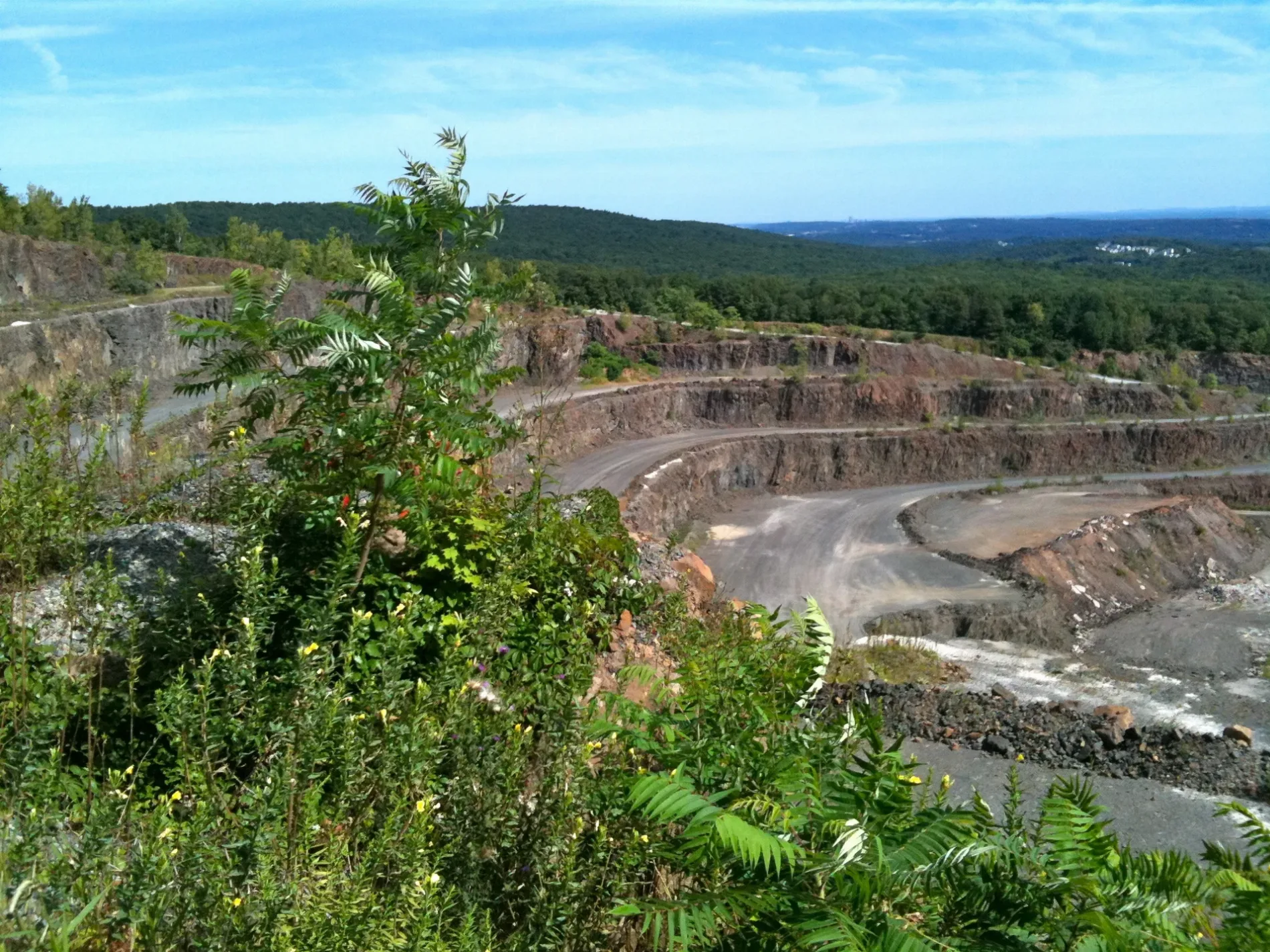
York Hill Trap Rock Quarry0.4 mi
Streams nearby
Sawmill Brook1.1 mi
Harbor Brook1.4 mi
Waters nearby
Bradley Hubbard Reservoir0.5 mi
Wilcox Pond0.6 mi
Highland Pond0.8 mi
Country Club Road Pond1.0 mi
Adder Reservoir1.3 mi
Public transit map Middletown Legend
| Railway | |
| Bus | |
| Streetcar |
Bicycle map Middletown Legend
| Bike path | |
| Bike lane on roadway | |
| Cycling allowed on bus lane | |
| Bicycle street | |
| Open to cyclists | |
| Open to cyclists, good path | |
| Cycling prohibited | |
| Cobblestone |
| Long-distance bike route | (depending on scale) | |
| Long-distance bike route |
Pedestrian map Middletown Legend
| Path |
| Long-distance hiking trail | (depending on scale) | |
| Long-distance hiking trail | ||
| Pedestrians prohibited |