
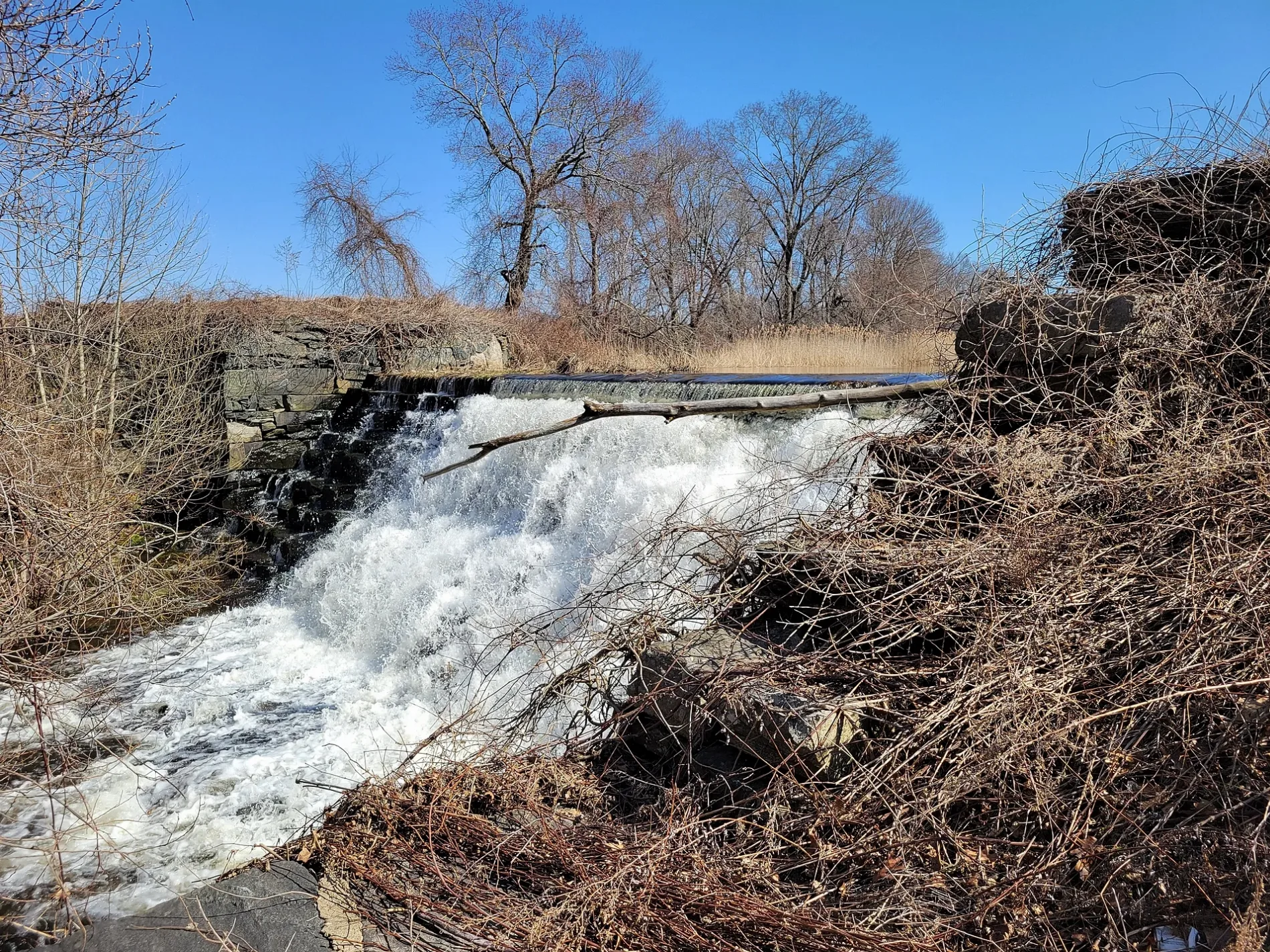
Packers Pond Dam in Plainfield, Connecticut
Packers Pond Dam in Plainfield is a weir.
- Waterway Type
- weir
Restaurants
Florists
Pubs
Banks
Liquor stores
Gas stations
Beauty salons
Thrift stores
Dentist offices
Post offices
Fast food restaurants
Doctor's offices
Bus stops
Veterinary clinics
Attractions
Hair salons
Places of worship
Dry cleaners
Supermarkets
Streets nearby
Packerville Road500 ft
Lowes Way0.4 mi
Douglas Drive0.6 mi
Packer RoadPackerville, Faith Community Church
0.6 mi
Tarbox Road0.6 mi
Louis Lane0.7 mi
Margaret Lane0.7 mi
Lillibridge Road0.8 mi
Ann Street0.9 mi
Linda Lane1.0 mi
Judy Lane1.0 mi
Tarbox Road Extension1.0 mi
James Street1.1 mi
Robin Road1.1 mi
Laperle Avenue1.1 mi
Weston Road1.1 mi
Easy Street1.1 mi
Mill Brook Road1.2 mi
Harrington Drive1.2 mi
Norwich RoadVCA Plainfield Animal Hospital, Hank's Dairy Bar, Habitat for Humanity ReStore, Plainfield Recreation Dept Day Care, Jewett City Savings Bank, La Cantina, Bj's Motorcycle Shop, Subway, Plainfield, Saint Pauls Episocpal Church, Plainfield Service Center, Plainfield Dental, Forever Flowers and Gifts, Roma IV Tanning and Beauty Salon, Image Nails
1.2 mi
Spring Street1.2 mi
Hope Road1.2 mi
Birch Street1.2 mi
May Street1.3 mi
Easy Street Extension1.3 mi
South Pine Street1.3 mi
Brookside Drive1.3 mi
Third Street1.4 mi
Butts Bridge Road1.4 mi
North Street1.4 mi
South Street1.5 mi
Commercial Drive1.5 mi
Canterbury RoadMarch Route of Rochambeau's Army: Old Canterbury Road
1.5 mi
Toper Road1.5 mi
Sharkey Street1.5 mi
Cemeteries nearby
Packer Cemetery0.2 mi
Carey Cemetery1.4 mi
Forests nearby
Peagscomsuck Island0.5 mi
Industrial areas nearby
Lowe's Distribution Center0.4 mi
Plainfield Renewable Energy1.2 mi
Nature reserves nearby
Irma and Charles Levonius Preserve1.3 mi
Places of worship nearby
Packerville Baptist Church0.1 mi
Railways nearby
Willimantic Branch1.3 mi
Norwich Branch1.4 mi
Recreation grounds nearby
Plainfield Little League Complex1.4 mi
Rivers nearby
Quinebaug River1.1 mi
Streams nearby
Kitt Brook1.1 mi
Havey Brook1.5 mi
Waters nearby
Packers Pond0.6 mi
| Elevation | 45 m |
|---|---|
| Located in | Windham County |
| Country | United States |
 Public transit map Plainfield Legend
| Railway | |
| Bus | |
| Streetcar |
 Bicycle map Plainfield Legend
| Bike path | |
| Bike lane on roadway | |
| Cycling allowed on bus lane | |
| Bicycle street | |
| Open to cyclists | |
| Open to cyclists, good path | |
| Cycling prohibited | |
| Cobblestone |
| Long-distance bike route | (depending on scale) | |
| Long-distance bike route |
 Pedestrian map Plainfield Legend
| Path |
| Long-distance hiking trail | (depending on scale) | |
| Long-distance hiking trail | ||
| Pedestrians prohibited |