
Branford, Connecticut
Branford is located in South Central Connecticut Planning Region. About 28,273 people live here (as of 2020). Between 2010 and 2020, the population grew from 28,026 to 28,273. The region is at 13 meters above sea level. There are about 1.184 streets in Branford. The region was founded in 1644. The ZIP codes are 06405. The dialing code is 203. Branford is town in New Haven County, Connecticut, United States. Among other things, Branford has public Transport, restaurants, cafés, supermarkets, clothing Stores, museums, schools, banks, hair Salons, dentists, doctors and pharmacies. More information at www.branford-ct.gov.
Branford – Facts
| Population | 28273 |
|---|---|
| Area | 28 |
| Year built | 1644 |
| Elevation | 13 m |
| Located in | South Central Connecticut Planning Region, New Haven County |
| Postal code | 06405 |
| Country | United States |
| Native name | Branford |
| Official name | Branford |
| Described by | Encyclopædia Britannica 11th edition |
| Website | https://www.branford-ct.gov/ |
Data source: Wikidata (CC0)
Photos from Branford
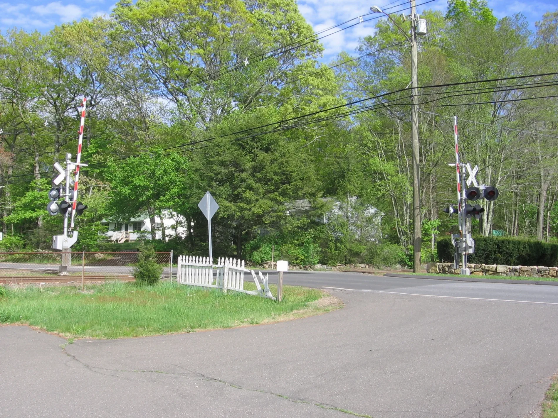
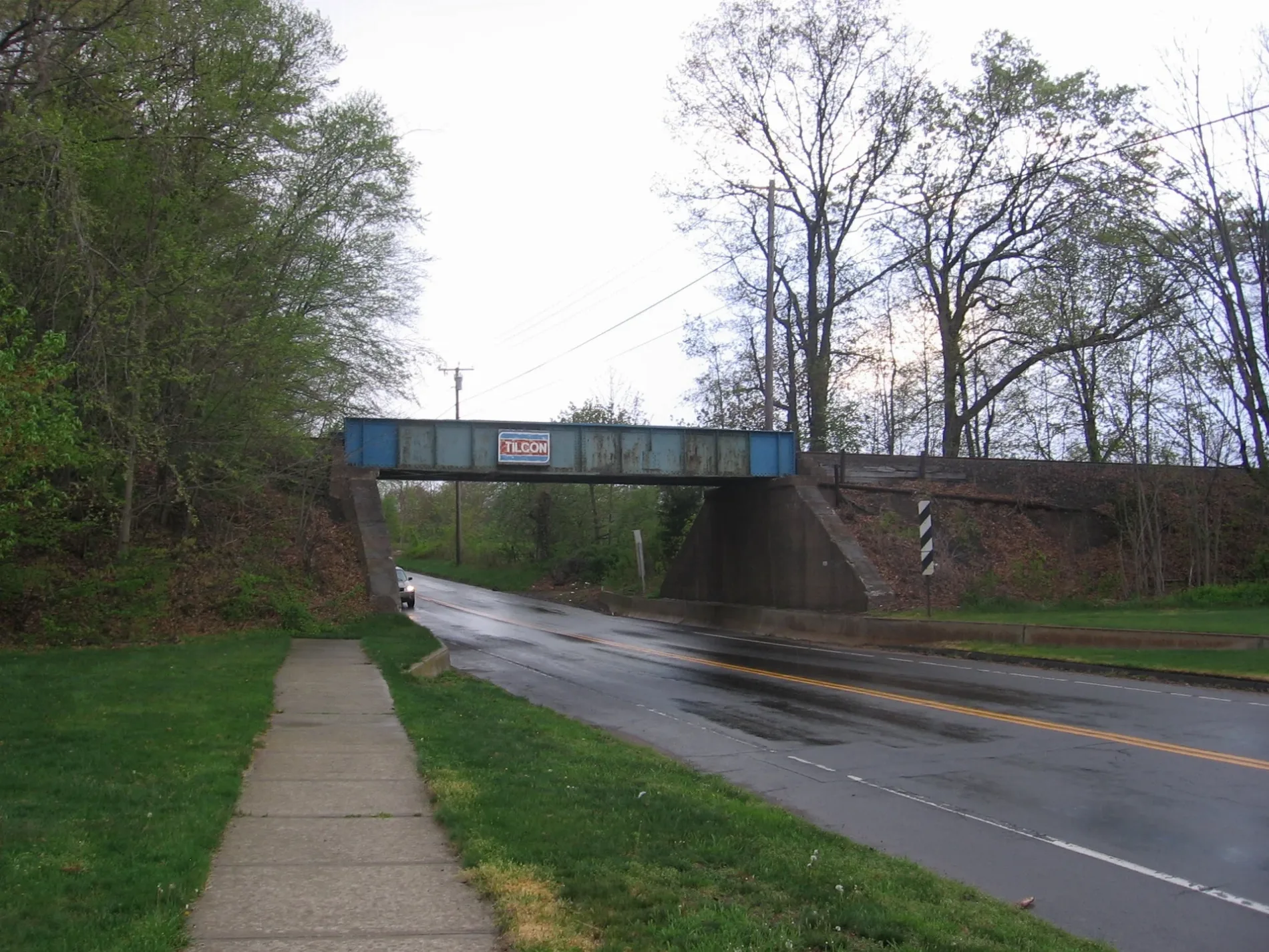
Streets in Branford, Connecticut
Streets
West Main Street
Five Guys, Dollar Tree, B & B Performance Automotive & Specialty Parts, The Sand Castle, Kampai Japanese Restaurant, Just Smiles Dental, E-Six, Branford Nail and Spa, Jersey Mike's Subs, Route 1 Wine & Liquor, Roz & Ali, Da' Carmine Pizzeria & Restaurant, Advance Auto Parts, Four Seasons Market, Old Quarry Olive Oil Co., TK Nails, Verizon, Simply Nail & Spa, CosmoProf, AT&T, A-1 Cleaners, Loved Boutique, T-Mobile, Donut Crazy, Sport Clips, Starbucks, FedEx Office, Tommy's Tanning
East Main StreetMrs. Nail & Spa, Feliciano's Music Academy, Fintastic Diving, Gourmet Wok, Dunkin', ChargePoint, Cheri's Bakery, Hornet's Nest, RISE
North Main StreetLa Luna Ristorante Italiano, Mobil, Branford Fire Department Headquarters Station, Staples, Branford Townhouse Restaurant, J & E Auto Body
Maple StreetBranford, Pacileo's Apizza, Stop & Go Convenience Store
Main StreetM.P. Rice Hose Company #2, Sapphire Fuel, Qwik Wash, Beach Donut Shop, Branford, Branford Center Historic District, Fred's Barber Shop, Branford Breakfast Connection
Sybil AvenueGuacamole's Mexican Cuisine, Bud's Fish Market, Indian Neck Liquor Store
Montowese StreetLe Petit Café, Coco's On the Green
Shore DriveShort Beach, Short Beach Hook & Ladder Co. #4, Rosso Vino
South Montowese StreetLenny's Indian Head Inn, Indian Neck Pizza, Indian Neck
Orchard Hill RoadGame X Change, Smoothie King
Leetes Island RoadMedlyn's Farm Market, Shell
Indian Point RoadThimble Islands Ferry Service, Stony Creek
Three Elms RoadStony Creek Post Office, The Thimbleberry
Business Park DriveDunkin'
TACAT Scale
Thimble Islands RoadStony Creek Museum
Echlin RoadReverie Kitchen
Block Island RoadDockside Seafood & Grill
Linden AvenueThe Friki Tiki
Veto StreetCommon Grounds
Cedar StreetJames Blackstone Memorial Library
Cherry StreetCanoe Brook Senior Center
Northeast Industrial RoadWightwood School
Stony Creek RoadStony Creek Package Store
Meadow StreetBranford
Squaw Brook RoadStony Creek Market
Commercial ParkwayChipotle
Monroe StreetSkull & Combs Co.
Cherry Hill RoadJalapeño Heaven
Chestnut StreetTommy Sullivan's
School StreetStony Creek Rescue Fire Co. #5
South Main StreetDance In Rhythm LLC
Goat AlleyMidas
Hopson AvenueWebsterBank
Martone DriveNorth Light Gallery & Framing
East Industrial DriveMobil
Alps RoadShoreline Auto Sales
Birch RoadOrchard
Woodlawn Avenue
Robert Frost Drive
Gentile Place
Palmer Road
Hunting Ridge Farms Road
Paynes Point
Rocky Ledge Lane
Fenway Road
Reynolds Avenue
Summit Place
Wilford Avenue
Hilltop Drive
Rextile Road
Hampton Park
Red Rock Road
Sybil Creek Place
Sound View Heights
Alex Warfield Road
Crouch Road
Bayview Avenue
Medley Lane
Short Beach Road
Hill Street
Field Road
Acorn Road
Clarendon Street
Liesl Lane
Quarry Road
Wood Road
Jeffrey LaneCar dealerships
Cemeteries
Hotels
Parks
Places of worship
Restaurants
Supermarkets
Tire dealers
Waters
Public transit map Branford Legend
| Railway | |
| Bus | |
| Streetcar |
Bicycle map Branford Legend
| Bike path | |
| Bike lane on roadway | |
| Cycling allowed on bus lane | |
| Bicycle street | |
| Open to cyclists | |
| Open to cyclists, good path | |
| Cycling prohibited | |
| Cobblestone |
| Long-distance bike route | (depending on scale) | |
| Long-distance bike route |
Pedestrian map Branford Legend
| Path |
| Long-distance hiking trail | (depending on scale) | |
| Long-distance hiking trail | ||
| Pedestrians prohibited |