
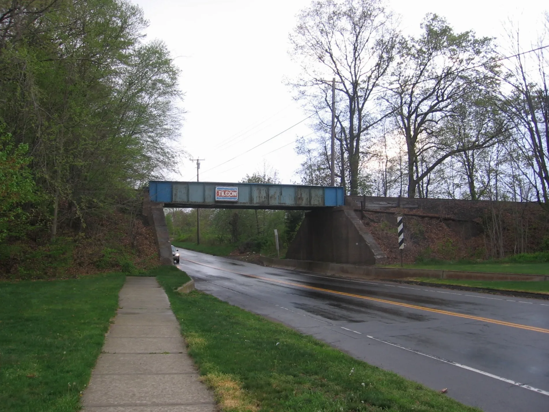
Medley Lane in Branford, Connecticut
Medley Lane in Branford is a residential street and runs in a northeast-southwest direction starting from Featherbed Lane and ends in a cul-de-sac.
- Road Type
- residential street
- Route
- northeast-southwest
Image
Gas stations
Music stores
Charging stations
Bakeries
Galleries
Fire stations
Restaurants
Schools
Motels
Wine shops
Clothing stores
Fast food restaurants
Cannabis dispensaries
Beauty salons
Sporting goods stores
Weighbridges
Hair salons
Cafes
Streets nearby
Featherbed Lane0.2 mi
Stonewall Lane0.2 mi
North Branford Road0.2 mi
Business Park DriveDunkin'
0.3 mi
Gould Lane0.3 mi
Commercial Street0.3 mi
Northeast Industrial RoadWightwood School
0.4 mi
Thompson Road0.4 mi
Wellsweep Road0.4 mi
Sandra Drive0.5 mi
McDermott Drive0.5 mi
Marbar Road0.5 mi
Fitzgerald Lane0.5 mi
Oak Gate Drive0.6 mi
School Ground Road0.6 mi
Research Drive0.6 mi
Applewood Road0.6 mi
Tipping Drive0.6 mi
Lomartra Lane0.6 mi
Flax Mill Road0.6 mi
Flax Mill Hollow0.6 mi
Buttermilk Lane0.6 mi
Sylvia Street0.6 mi
Meadow Circle Road0.6 mi
Pond View Terrace0.7 mi
Luisa Court0.7 mi
East Main StreetMrs. Nail & Spa, Feliciano's Music Academy, Fintastic Diving, Gourmet Wok, Dunkin', ChargePoint, Cheri's Bakery, Hornet's Nest, RISE
0.7 mi
Valley RoadVan Wilgen's Garden Center
0.7 mi
Old Hickory Lane0.7 mi
Ridge Acres Road0.7 mi
Hunting Ridge Farms Road0.7 mi
Cadwell Place0.7 mi
Patrick Lane0.7 mi
Bike shops nearby
Zane's Cycles0.5 mi
Buildings nearby
Caius Farm Brewery0.3 mi
Thimble Island Brewing0.3 mi
Rose Vineyards0.7 mi
Commercial areas nearby
Thimble Creek Office Condominiums400 ft
Gas stations nearby
Gulf0.2 mi
Hotels nearby
Baymont0.6 mi
Pharmacies nearby
Walgreens0.6 mi
Railways nearby
Branford Steam Railroad0.2 mi
Restaurants nearby
Parthenon Diner0.3 mi
56 Diner0.6 mi
Marco's Pizzeria and Restaurant0.7 mi
Retail buildings nearby
Atlas Outdoor0.4 mi
Rivers nearby
Branford River0.5 mi
Sports fields nearby
Flax Mill Field0.6 mi
Waters nearby
Wards Millpond0.6 mi
Public transit map Branford Legend
| Railway | |
| Bus | |
| Streetcar |
Bicycle map Branford Legend
| Bike path | |
| Bike lane on roadway | |
| Cycling allowed on bus lane | |
| Bicycle street | |
| Open to cyclists | |
| Open to cyclists, good path | |
| Cycling prohibited | |
| Cobblestone |
| Long-distance bike route | (depending on scale) | |
| Long-distance bike route |
Pedestrian map Branford Legend
| Path |
| Long-distance hiking trail | (depending on scale) | |
| Long-distance hiking trail | ||
| Pedestrians prohibited |