
Station Road in Brookfield, Connecticut
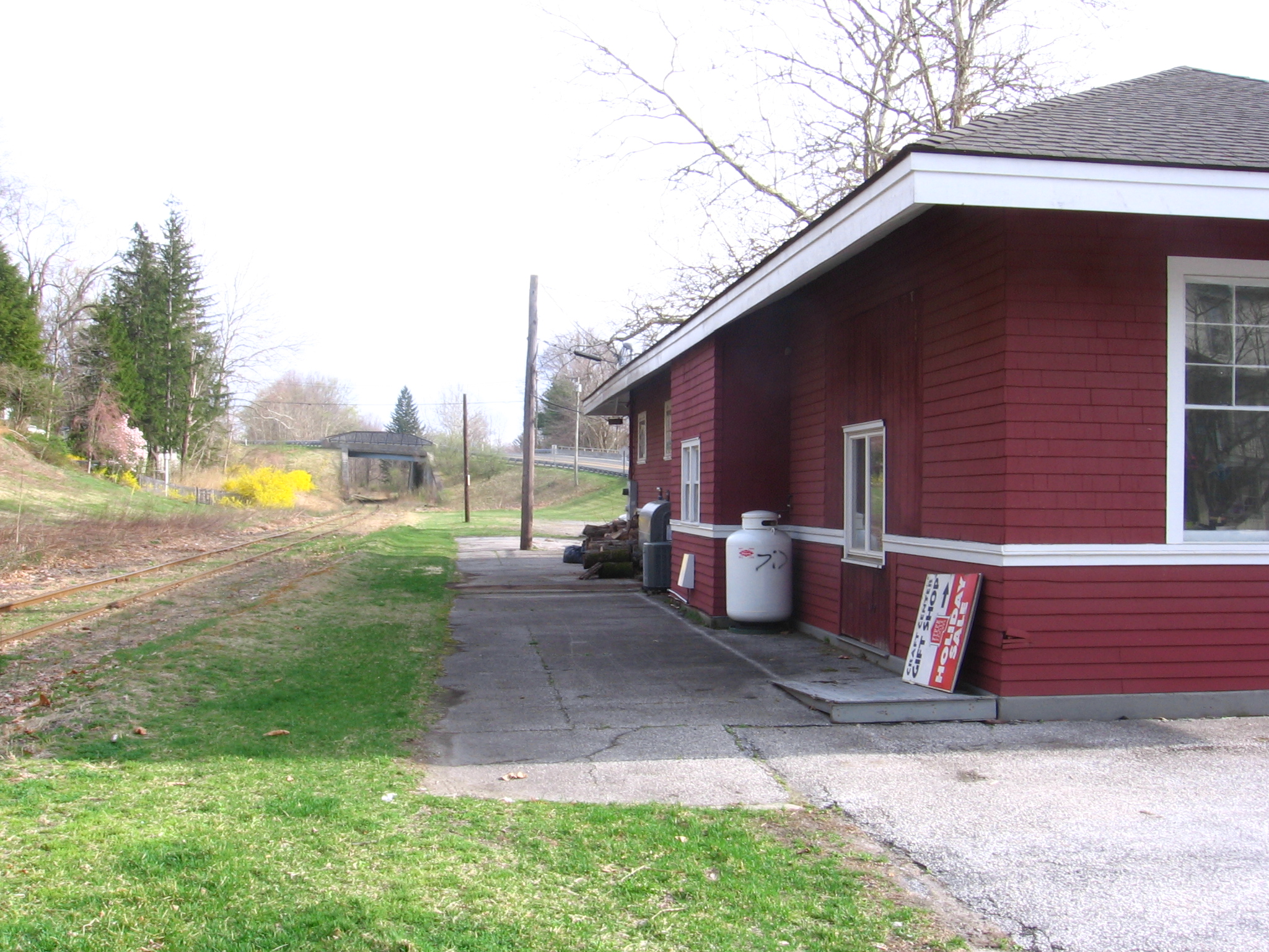
Station Road in Brookfield is a three-lane residential street and runs in an east-west direction and crosses Laurel Hill Road, Federal Road and Whisconier Road. Nearby you can find among others a gas station, a car wash and an ice cream shop. The nearest stop is Station Rd & Laurel Hill Rd. The bus line 7 stops here. Station Road also exists in Greenwich, Redding and New Milford.
- Road Type
- residential street
- Lanes
- 3
- Speed Limit
- 25 mph
- Route
- east-west
Image
Gas stations
Ice cream shops
Streets nearby
Federal RoadBrookfield, Bank of America, Newbury Village, The Dive Shop Aquatic Center, Scuba Scoops Yogurt & Gelato, SiteOne Landscape Supply, Blasius Federal Road, Dollar General, Angel's Deli, Chick-fil-A, Costco Gasoline, Firestone, Market Place Tavern, Lazboy, T-Mobile, Savers, Express Kitchens, Medi Weight Loss, Federal Rd & Laurel Hill Rd, Jersey Mike's Subs, Bridgewater Chocolate, Interstate Batteries, Advance Auto Parts, Sylvan, Stickley Audi & Co., NY Best Bagels, Tabouli and More, Guitar Hangar, The Greater Danbury Center for Endodontics, Brazilian Bites, Gluten Free Oasis, The Linden at Brookfield, DQ Grill & Chill, Svanda's Framing & Art, The Dental Team, Newtown Savings Bank, The Vision Shoppe, Fun Factor, Touratech-USA East, Expedia Cruises, Brookfield Funeral Home, Gulf, Best Buy Discount Tires, Brisas Latín Fusion, Four Corners, Traveling Chic Boutique, #TheCafe, La Piazza, Honeymoon Nails And Spa, Dirt 2.0
0.1 mi
Tucks Road0.2 mi
Whisconier RoadBrookfield Market and Deli, Brookfield Craft Center, Brookfield Pets, The Brookfield Library, Brookfield Town Center District
0.2 mi
Laurel Hill Road0.2 mi
Alcox Road0.3 mi
Old Route 7Dunkin', Albin Primary Care
0.4 mi
Poppy Drive0.4 mi
Stillwater Circle0.4 mi
Ironworks Hill Road0.4 mi
Ridgeview Terrace0.5 mi
Great Heron Lane0.5 mi
Meadowview Drive0.6 mi
Clover Court0.6 mi
Brooks Quarry RoadBrooks Quarry
0.6 mi
Farview Road0.6 mi
Hollis Drive0.6 mi
Prospect Court0.6 mi
Gereg Glen Road0.6 mi
Quarry Road0.6 mi
Flax Hill Road0.6 mi
Prospect Drive0.6 mi
Hillside Court0.6 mi
Pocono RoadBrookfield Volunteer Fire Company, Brookfield Post Office, Brookfield Municipal Center
0.7 mi
Hollow Drive0.7 mi
Still River GreenwayFederal Rd & Laurel Hill Rd, The Brookfield Food Emporium
0.7 mi
Maple Lane0.7 mi
Ivy Court0.7 mi
Shamrock Drive0.7 mi
Birch Road0.7 mi
Juniper Lane0.7 mi
Production Drive0.7 mi
Orchard Place0.8 mi
Broadview Road0.8 mi
Orchard Street0.8 mi
Crestview Drive0.8 mi
Meadow Brook Road0.8 mi
Brookfield Meadows0.8 mi
Hillside Circle0.9 mi
Oak Lane1.0 mi
Dean Road1.0 mi
Cemeteries nearby
Laurel Hill Cemetery0.1 mi
Churches nearby
Brookfield Gospel Hall0.4 mi
Gas stations nearby
Shell0.1 mi
Ice cream shops nearby
Peachwave0.2 mi
Nature reserves nearby
Town Open Space (Federal Road)0.8 mi
Streams nearby
Limekiln Brook0.5 mi
Still River0.7 mi
Supermarkets nearby
Brookfield Market0.2 mi
Waters nearby
Whalen Pond0.8 mi
Public transit map Brookfield Legend
| Railway | |
| Bus | |
| Streetcar |
Bicycle map Brookfield Legend
| Bike path | |
| Bike lane on roadway | |
| Cycling allowed on bus lane | |
| Bicycle street | |
| Open to cyclists | |
| Open to cyclists, good path | |
| Cycling prohibited | |
| Cobblestone |
| Long-distance bike route | (depending on scale) | |
| Long-distance bike route |
Pedestrian map Brookfield Legend
| Path |
| Long-distance hiking trail | (depending on scale) | |
| Long-distance hiking trail | ||
| Pedestrians prohibited |