
Northwest 4th Street in Milford, Delaware
Northwest 4th Street in Milford is a residential street. It runs in an east-west direction starting from West Street and crosses North Church Street, North Street and North Walnut Street and ends at Northeast 4th Street.
- Road Type
- residential street
- Route
- east-west
Image
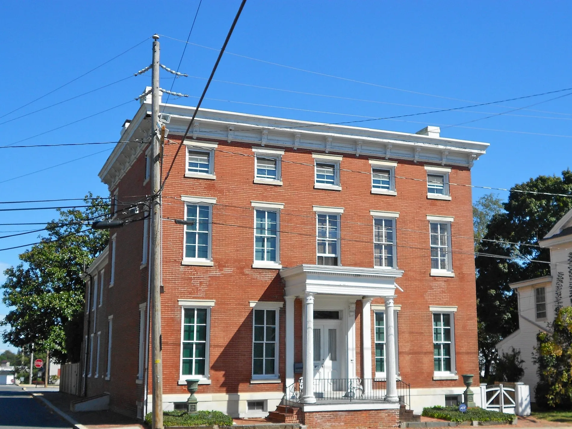
Fast food restaurants
Video game stores
Town halls
Craft stores
Pharmacies
Hardware stores
Places of worship
Pastry shops
Supermarkets
Hardware stores
Hair salons
Cafes
Restaurants
Banks
Galleries
Variety stores
Clothing stores
Auto parts stores
Cell phone stores
Streets nearby
Northwest 3rd Street300 ft
Northwest 5th Street400 ft
West Street400 ft
Northwest 2nd Street0.1 mi
Northwest 6th Street0.1 mi
Northwest Front StreetCitizens Bank
0.2 mi
Silver Hill0.2 mi
Mill Street0.2 mi
Dorsey Lane0.3 mi
Corn Cob Alley0.3 mi
Southwest Front StreetMy Sister’s Fault
0.3 mi
Valley Drive0.3 mi
Mispillion RiverwalkArenas Deli and Bar, Milford
0.3 mi
Linstone Lane0.3 mi
James Drive0.3 mi
Lakeview Apts0.3 mi
Northeast 6th Street0.3 mi
Maple Avenue0.3 mi
Lucia Drive0.3 mi
Truitt Avenue0.4 mi
Drew Street0.4 mi
Allen Way0.4 mi
North Walnut StreetMilford Church of God, Dolce Bakery and Coffee Shop, Red Bandana
0.4 mi
Tull Way0.4 mi
Bright Way0.4 mi
North Street0.5 mi
Aurora Place0.5 mi
North Dupont BoulevardRite Aid, Dunkin', Starbucks, AT&T, Mama Maria, Taco Bell/KFC
0.5 mi
North Church StreetChrist Episcopal Church, Avenue United Methodist Church
0.5 mi
East Masten CircleAce Hardware
0.6 mi
Rogers Drive0.6 mi
Banks nearby
Shore United0.4 mi
M&T Bank0.5 mi
County Bank0.5 mi
Drugstores nearby
Rite Aid0.5 mi
Fast food restaurants nearby
Hardee's0.4 mi
Popeyes0.5 mi
Chick-fil-A0.5 mi
McDonald's0.5 mi
Fire stations nearby
Carlisle Fire Company #420.5 mi
Hotels nearby
Comfort Inn & Suites0.5 mi
Parks nearby
Parson Thorne Mansion0.2 mi
Places of worship nearby
Avenue United Methodist Church0.2 mi
Railways nearby
Indian River Secondary0.3 mi
Restaurants nearby
Applebee's0.5 mi
Retail areas nearby
The Plaza at Milford0.5 mi
Rivers nearby
Mispillion River0.3 mi
Thrift stores nearby
God's Way Thrift Store0.3 mi
Other nearby
Icecream Island0.4 mi
 Public transit map Milford Legend
| Railway | |
| Bus | |
| Streetcar |
 Bicycle map Milford Legend
| Bike path | |
| Bike lane on roadway | |
| Cycling allowed on bus lane | |
| Bicycle street | |
| Open to cyclists | |
| Open to cyclists, good path | |
| Cycling prohibited | |
| Cobblestone |
| Long-distance bike route | (depending on scale) | |
| Long-distance bike route |
 Pedestrian map Milford Legend
| Path |
| Long-distance hiking trail | (depending on scale) | |
| Long-distance hiking trail | ||
| Pedestrians prohibited |