
South Alley in Georgetown, Delaware
South Alley in Georgetown is a service road and runs in a southeast-northwest direction starting from West Market Street and ends at West Pine Street.
- Road Type
- service road
- Route
- southeast-northwest
Image
Charging stations
Fountains
Convenience stores
Bakeries
Clinics
Cafes
Variety stores
Cell phone stores
Town halls
Gas stations
Furniture stores
Fast food restaurants
Restaurants
Banks
Bus stops
Vape shops
Tobacco shops
Doctor's offices
Streets nearby
South Front Street200 ft
West Pine Street250 ft
South Lane300 ft
West Market Street300 ft
Strawberry Alley350 ft
Love Lane450 ft
Gardner Avenue0.1 mi
Elizabeth Street0.1 mi
West Laurel Street0.1 mi
The CircleGeorgetown, Fountain on The Circle
0.1 mi
Cooper Alley0.2 mi
Harris Alley0.2 mi
North Bedford Street0.2 mi
East Laurel StreetGreenlea Acres
0.2 mi
Old Laurel Road0.2 mi
Cherry LaneGeorgetown Town Hall
0.2 mi
West Adams Street0.2 mi
South Race Street0.2 mi
Anderson Street0.2 mi
North Race Street0.2 mi
Carolyn Street0.3 mi
Depot Street0.3 mi
James Street0.3 mi
Auto parts stores nearby
Manlove Auto Parts0.2 mi
Banks nearby
M&T Bank300 ft
County Bank0.2 mi
Buildings nearby
Whitehead Law350 ft
Sussex County Administrative Building0.1 mi
Haller & Hudson0.1 mi
Riale Realty0.2 mi
Tunnell & Raysor, P.A.0.2 mi
Department of Elections-Sussex County0.3 mi
Commercial buildings nearby
Law Office of Edward C. Gill P.A.0.2 mi
Convenience stores nearby
Bodie's Dairy Market0.2 mi
Courthouses nearby
Old Sussex County Courthouse550 ft
Family Court0.1 mi
Jusitce of the Peace Court 140.1 mi
Court of Chancery0.2 mi
Sussex County Courthouse0.2 mi
Doctor's offices nearby
Georgetown Family Medicine0.2 mi
Fire stations nearby
Georgetown Fire Company500 ft
Hotels nearby
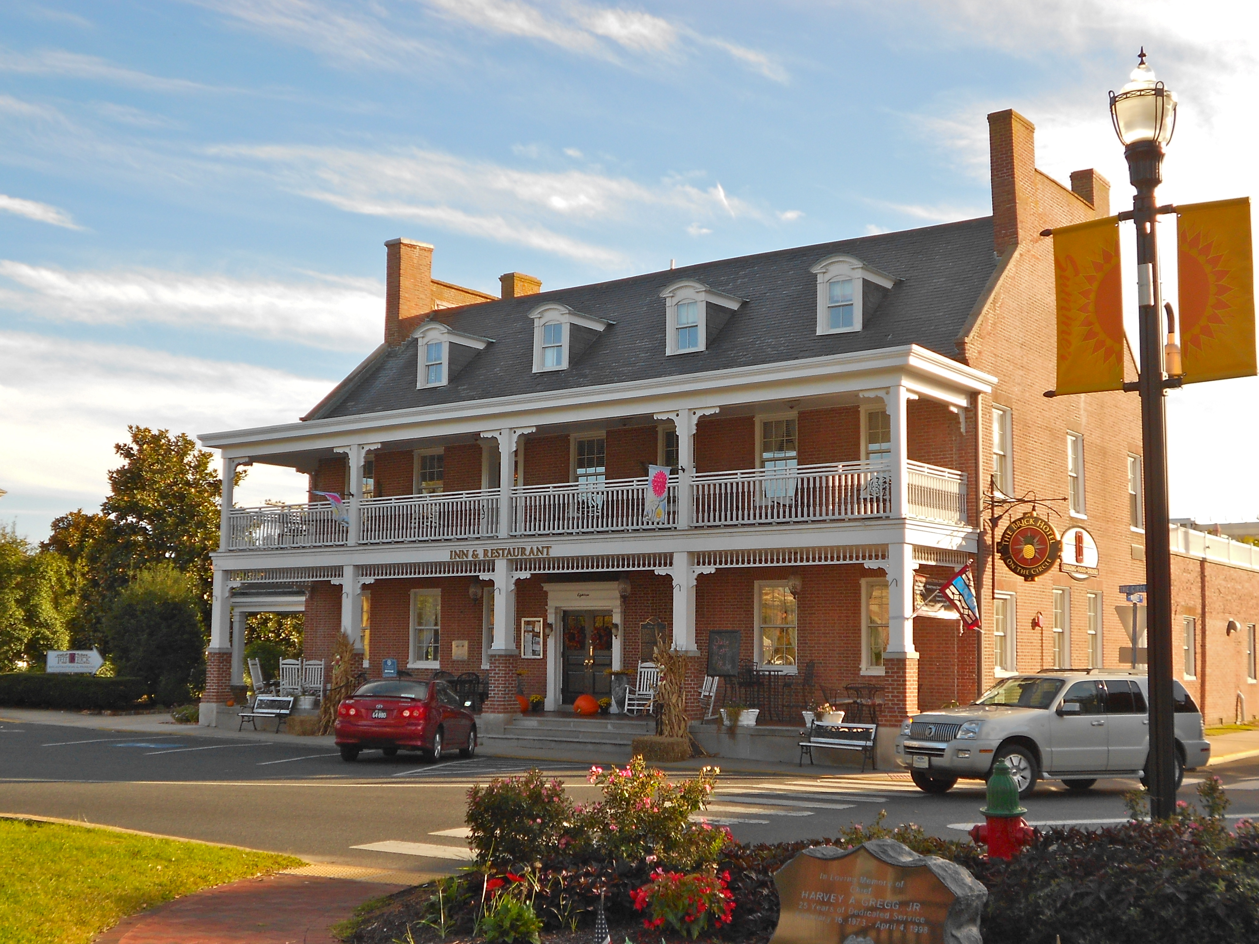
The Brick Hotel400 ft
Libraries nearby
Georgetown Public Library0.2 mi
Military areas nearby
Delaware Army National Guard450 ft
Parks nearby
Circle Park0.1 mi
Places of worship nearby
Wesley United Methodist Church0.2 mi
Georgetown Presbyterian Church0.3 mi
Restaurants nearby
Georgetown Family Restaurant0.2 mi
Town halls nearby
Georgetown Town Hall0.2 mi
Public transit map Georgetown Legend
| Railway | |
| Bus | |
| Streetcar |
Bicycle map Georgetown Legend
| Bike path | |
| Bike lane on roadway | |
| Cycling allowed on bus lane | |
| Bicycle street | |
| Open to cyclists | |
| Open to cyclists, good path | |
| Cycling prohibited | |
| Cobblestone |
| Long-distance bike route | (depending on scale) | |
| Long-distance bike route |
Pedestrian map Georgetown Legend
| Path |
| Long-distance hiking trail | (depending on scale) | |
| Long-distance hiking trail | ||
| Pedestrians prohibited |