
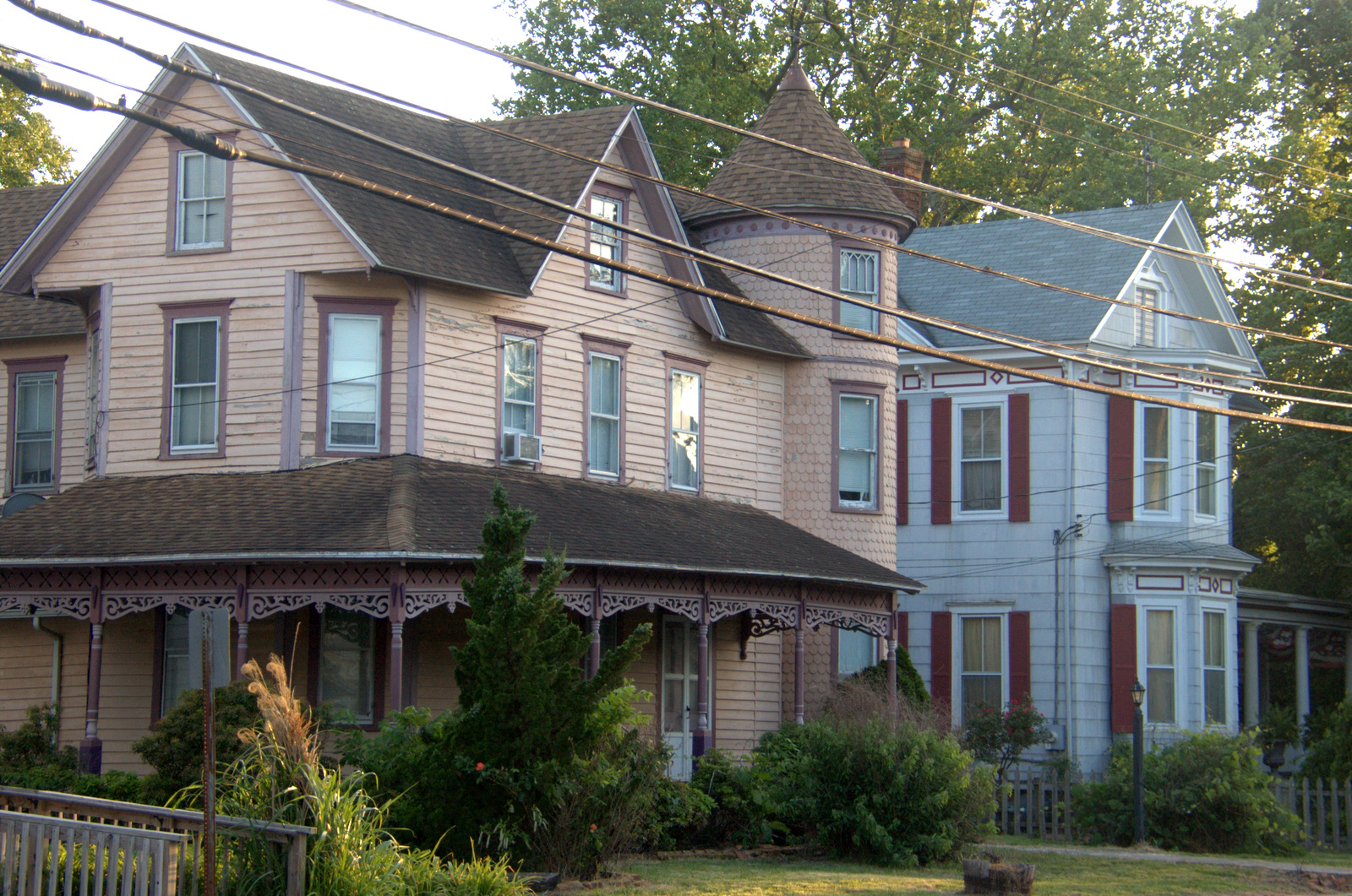
East 5th Street in Laurel, Delaware
East 5th Street in Laurel is an asphalted residential street. It runs as a one-way street in an east-west direction starting from Pine Street and crosses Spruce Street and ends at South Central Avenue. East 5th Street also exists in Blades.
- Road Type
- residential street
- Speed Limit
- 25 mph
- Route
- east-west
Image
Police stations
Specialty stores
Liquor stores
Toy stores
Supermarkets
Gas utilities
Convenience stores
Restaurants
Cemeteries
Antique stores
Jewelry stores
Variety stores
Pharmacies
Fast food restaurants
Delis
Garden centers
Cell phone stores
Car dealerships
Streets nearby
East Market Street400 ft
South Central AvenueLaurel
400 ft
Pine Street450 ft
Spruce Street450 ft
Delaware Avenue0.1 mi
West 6th Street0.1 mi
5th Street0.1 mi
Carvel Avenue0.2 mi
East 8th Street0.2 mi
West 7th Street0.2 mi
North Central AvenueAdkins & Son Lawn & Garden
0.2 mi
Dashields Street0.2 mi
West 8th Street0.2 mi
Front Street0.2 mi
East 6th Street0.2 mi
2nd Street0.2 mi
North Poplar Street0.2 mi
West Market Street0.2 mi
South Poplar Street0.2 mi
Willow Street0.2 mi
East Front Street0.2 mi
Turtle Cove0.3 mi
Chipman Street0.3 mi
Cooper Street0.3 mi
Railroad Avenue0.3 mi
West 10th Street0.3 mi
Records Pond Court0.3 mi
Governors Avenue0.3 mi
East 4th StreetLaurel Creek
0.3 mi
Lansing Avenue0.4 mi
Orange Street0.4 mi
Mill Pond Drive0.4 mi
Forrest Lane0.4 mi
King Street0.4 mi
Evergreen Drive0.4 mi
Laurel Avenue0.4 mi
Gordy Road0.5 mi
Banks nearby
LINKBANK Client Solutions Center500 ft
Bowling alleys nearby
Bryan's Bowling Center0.5 mi
Buildings nearby
Laurel Historical Society, Inc.0.2 mi
Dams nearby
Records Pond Dam0.3 mi
Hardware stores nearby
Laurel Community Hardware0.4 mi
Libraries nearby
Laurel Public Library0.1 mi
Residential areas nearby
The Villas on Broad Creek0.3 mi
Restaurants nearby
Abbott's on Broad Creek0.2 mi
Rivers nearby
Broad Creek0.3 mi
School buildings nearby
Laurel Elementary School0.3 mi
Town halls nearby
Laurel Town Office0.2 mi
Variety stores nearby
Family Dollar0.4 mi
Public transit map Laurel Legend
| Railway | |
| Bus | |
| Streetcar |
Bicycle map Laurel Legend
| Bike path | |
| Bike lane on roadway | |
| Cycling allowed on bus lane | |
| Bicycle street | |
| Open to cyclists | |
| Open to cyclists, good path | |
| Cycling prohibited | |
| Cobblestone |
| Long-distance bike route | (depending on scale) | |
| Long-distance bike route |
Pedestrian map Laurel Legend
| Path |
| Long-distance hiking trail | (depending on scale) | |
| Long-distance hiking trail | ||
| Pedestrians prohibited |