
Milford, Delaware
Milford is located in Sussex County. About 11,190 people live here (as of 2020). Between 2010 and 2020, the population grew from 9,559 to 11,190. The region is at 3 meters above sea level. The area covers about 25.4 square kilometers. There are about 693 streets in Milford. The region was founded in 1680. The ZIP codes are 19963. The dialing code is 302. Milford is city in Kent and Sussex counties, Delaware, United States of America. Among other things, Milford has restaurants, cafés, supermarkets, clothing Stores, banks, hair Salons and pharmacies. More information at www.cityofmilford.com.
Milford – Facts
| Population | 11190 |
|---|---|
| Area | 25.4 km² |
| Year built | 1680 |
| Elevation | 3 m |
| Located in | Sussex County, Kent County |
| Postal code | 19963 |
| Country | United States |
| Official name | Milford |
| Website | http://www.cityofmilford.com |
Data source: Wikidata (CC0)
Photos from Milford
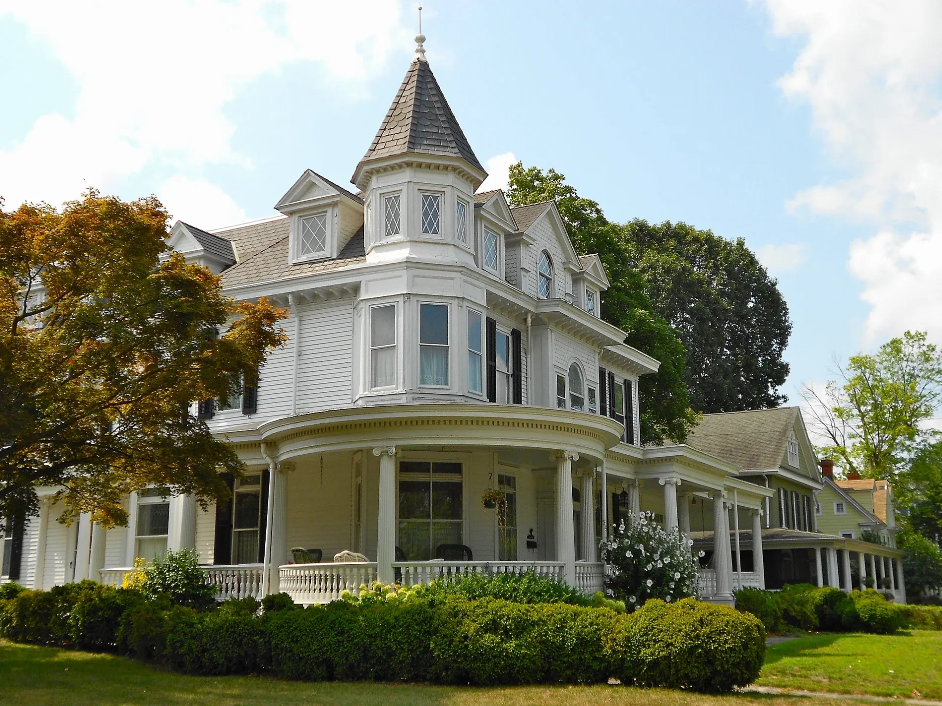
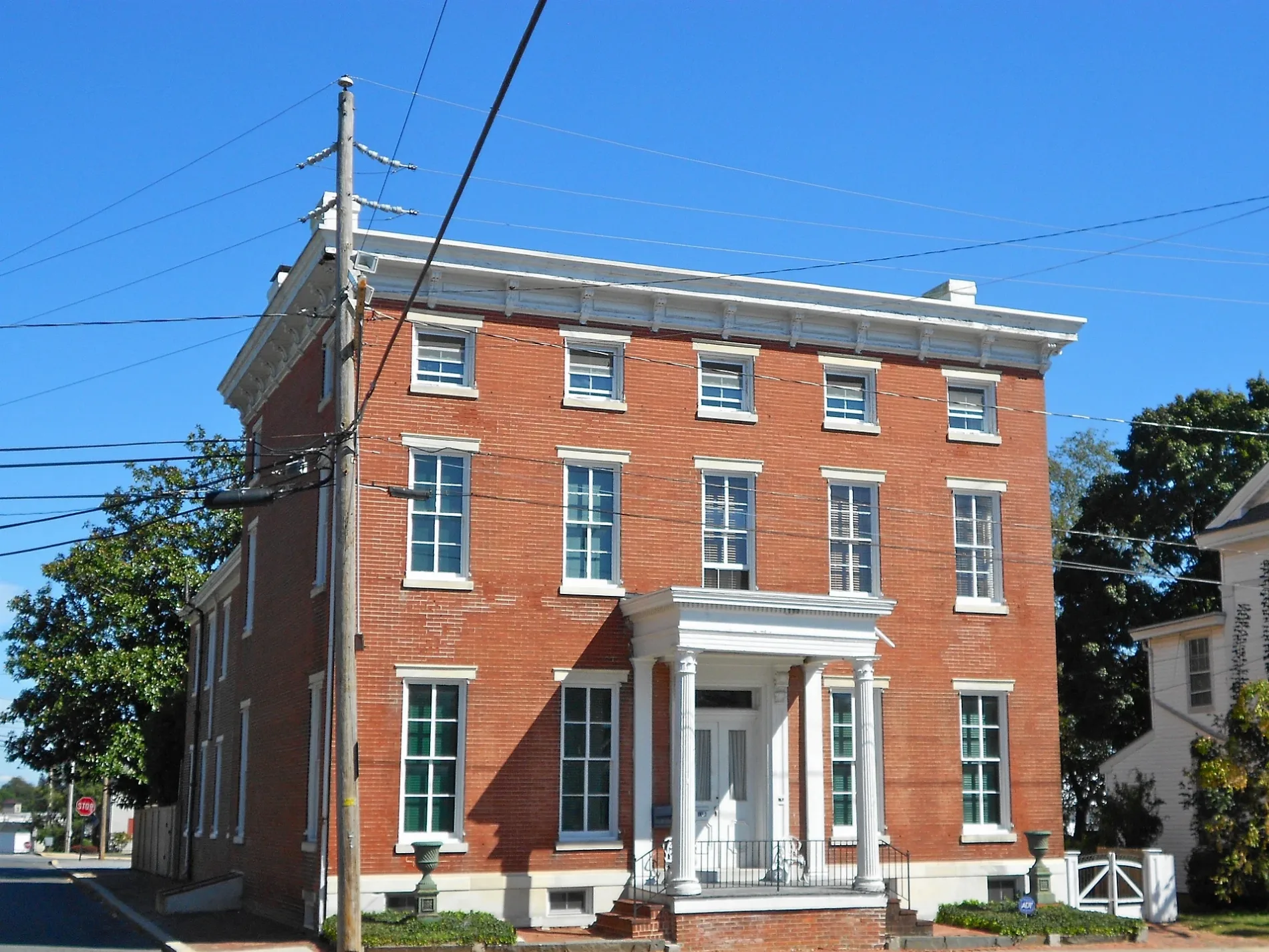
Streets in Milford, Delaware
Streets
North Dupont Boulevard
Starbucks, AT&T, Mama Maria, Rite Aid, Dunkin'
North Walnut StreetMilford Church of God, Dolce Bakery and Coffee Shop, Red Bandana
Milford Harrington HighwayImage, Romano's, Mike's Liquor Mart
Southwest Front StreetMy Sister’s Fault, All Day Locksmith
Northeast Front StreetMilford Police Department, Delaware Eye Care Center
North Church StreetChrist Episcopal Church, Avenue United Methodist Church
South Walnut StreetMilford City Hall
Northwest Front StreetCitizens Bank
Beaver Dam RoadLittle Free Library
Mispillion RiverwalkArenas Deli and Bar, Milford
Cypress Hall BoulevardDollar Tree
South Silicato ParkwayChargePoint
East Masten CircleAce Hardware
Warner RoadMilford Movies 9
Park AvenueMispillion Art League
Mill Street
West Liberty Way
Mispillion Apartments
East Lane
Dupont Boulevard
New Street
Kent Place
Misty Vale Court
Aurora Place
Royal Court
Shelby Way
East Thrush Drive
Regent Road
Hall Place
Kings Highway
South Heather Drive
South Sagamore Drive
Pond Drive
Radian Circle
Cedar Beach RoadBrown Street
Wild Goose Lane
General Torbert Drive
Fullerton Court
Governor Burton Court
Ressler Lane
Southeast 4th Street
North Washington Street
Beaufort Lane
Dorsey Lane
East Liberty Way
Donovan Street
Nailor Street
Hot Springs Court
Corn Cob Alley
Wilbur Street
Eleanor Lane
Central Parke Boulevard
Carlisle Lane
Lovers Lane
Columbia Street
Silver Hill
Heather Drive
Summer Brook Way
Martime Court
North Street
Orchard Lane
Lynx LaneAuto parts stores
Auto repair shops
Banks
Buildings
Convenience stores
Fast food restaurants
Gas stations
Libraries
Places of worship
Residential areas
Restaurants
Other
Public transit map Milford Legend
| Railway | |
| Bus | |
| Streetcar |
Bicycle map Milford Legend
| Bike path | |
| Bike lane on roadway | |
| Cycling allowed on bus lane | |
| Bicycle street | |
| Open to cyclists | |
| Open to cyclists, good path | |
| Cycling prohibited | |
| Cobblestone |
| Long-distance bike route | (depending on scale) | |
| Long-distance bike route |
Pedestrian map Milford Legend
| Path |
| Long-distance hiking trail | (depending on scale) | |
| Long-distance hiking trail | ||
| Pedestrians prohibited |