
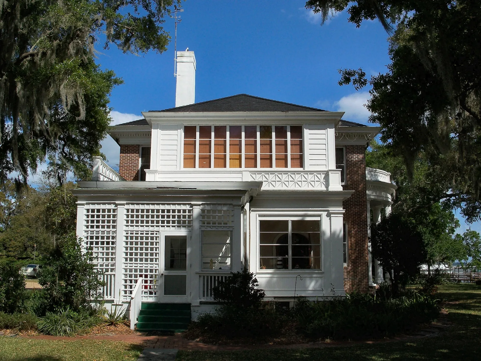
East Caroline Street in Tavares, Florida
East Caroline Street in Tavares is an asphalted, lit residential street. It runs in an east-west direction starting from West Caroline Street and crosses North New Hampshire Avenue, North Rockingham Avenue, North Saint Clair Abrams Avenue and North Disston Avenue. It ends in a cul-de-sac.
- Road Type
- residential street
- Speed Limit
- 15 mph
- Route
- east-west
Image
Libraries
Fire stations
Platforms
Pubs
Courthouses
Clinics
Places of worship
Restaurants
Police stations
Town halls
Schools
Post offices
Streets nearby
East Ianthe Street0.1 mi
East Esther Street0.2 mi
North Saint Clair Abrams AvenueAsbury Evangelical Covenant Church
0.2 mi
East Maud Street0.2 mi
North Rockingham AvenueBRU Tap House
0.2 mi
Lake Dora Drive0.2 mi
East Main StreetOrange Blossom Cannonball Tavares Station, Tavares Police Department, Tavares City Hall, Lake Dora Sushi & Sake, BTW Burgers Tacos Waffles
0.2 mi
Wood Avenue0.2 mi
Irwin Drive0.2 mi
Louanne Court0.2 mi
South Saint Clair Abrams Avenue0.3 mi
Olive Drive0.3 mi
North Disston Avenue0.3 mi
South Disston Avenue0.3 mi
East Givens Street0.3 mi
North New Hampshire AvenueTavares Public Library
0.3 mi
Carol Court0.3 mi
East Alfred StreetUnion Congregational Church, United Church of Christ, Tavares Fire Station Number 1
0.3 mi
band parking lot0.3 mi
Dora Avenue0.3 mi
South Rockingham Avenue0.3 mi
North Joanna AvenueTavares Christian School, First Baptist Church
0.3 mi
West Maud Street0.3 mi
Velma Court0.3 mi
Terrace Street0.3 mi
East Ruby StreetO'Keefe's Irish Pub, Ruby Street Grille
0.3 mi
McLain Court0.3 mi
East Kentucky Street0.3 mi
Tally AlleyTavares Church of Christ
0.3 mi
Ridge Place0.3 mi
Medford Avenue0.4 mi
West Alfred Street0.4 mi
North Texas Avenue0.4 mi
bus loop0.4 mi
South Joanna Avenue0.4 mi
East Clifford Street0.4 mi
West Main StreetLake County Court - Criminal
0.4 mi
West Esther Street0.4 mi
Capella Drive East0.4 mi
Buildings nearby
Woodlea House Reproduction0.4 mi
Museums nearby
Tavares History Museum0.2 mi
Parks nearby
Aesops Park0.2 mi
Wooton Park0.3 mi
Fred Stover Park Sports Complex0.3 mi
Platforms nearby
Orange Blossom Cannonball Tavares Station0.2 mi
Playgrounds nearby
Wooton Wonderland0.3 mi
Railways nearby
Umatilla Subdivision0.2 mi
Sorrento Subdivision0.2 mi
Orlando Subdivision0.3 mi
Public transit map Tavares Legend
| Railway | |
| Bus | |
| Streetcar |
Bicycle map Tavares Legend
| Bike path | |
| Bike lane on roadway | |
| Cycling allowed on bus lane | |
| Bicycle street | |
| Open to cyclists | |
| Open to cyclists, good path | |
| Cycling prohibited | |
| Cobblestone |
| Long-distance bike route | (depending on scale) | |
| Long-distance bike route |
Pedestrian map Tavares Legend
| Path |
| Long-distance hiking trail | (depending on scale) | |
| Long-distance hiking trail | ||
| Pedestrians prohibited |