
West Washington Street in Orlando, Florida
West Washington Street in Orlando is a two-lane, asphalted secondary road. The street has sidewalks. It runs in an east-west direction and crosses North Division Avenue, Chatham Avenue, North Terry Avenue, North Parramore Avenue, McQuigg Avenue, Garden Avenue, Lee Avenue, North Westmoreland Drive, Benson Avenue, North Orange Blossom Trail, Norton Avenue and Nashville Avenue. It ends in a cul-de-sac. This street is part of the highway "526" as well as the Bicycle route "Bikeway 5". Nearby there is among others a bar. The nearest stop is 25. The bus lines 25, 54 and Lymmo Lime Line serve this stop. West Washington Street also exists in Lake County, DeSoto County, Gadsden County, Hillsborough County and Jefferson County.
- Road Type
- secondary road
- Lanes
- 2
- Speed Limit
- 30 mph
- Route
- east-west
Image
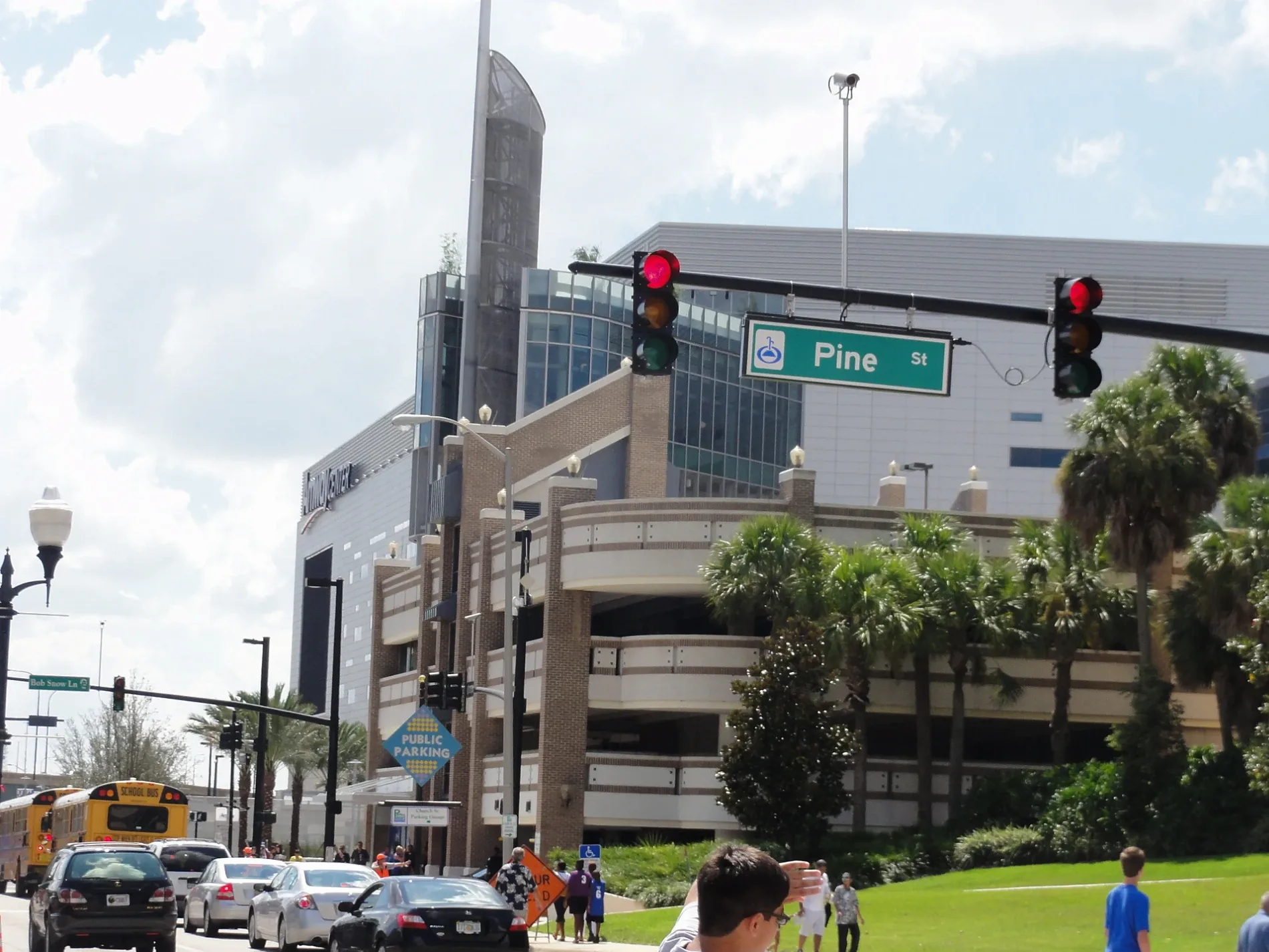
Bars
Bus stops
- bus lines 25, 54, Lymmo Lime Line
Streets nearby
North Hughey AvenueNorth Hughey Avenue and West Washington Street, North Hughey Avenue and West Robinson Street
250 ft
North Garland AvenueNorth Garland Avenue and West Washinton Street, The Maile Image Modeling & Acting School, North Garland Avenue and West Central Boulevard
350 ft
Gertrude Avenue0.1 mi
Gertrude's WalkNorth Garland Avenue and East Jefferson Street, Church Street, Ace Cafe Orlando
0.1 mi
Jefferson Street0.1 mi
West Robinson StreetCallahan, 914118R, 914119X
0.1 mi
West Jefferson Street0.1 mi
West Central BoulevardCentral Business District, West Central Boulevard and South Orange Blossom Trail, West Central Boulevard and Fred L. Maxwell Boulevard, West Central Boulevard and Maryland Avenue, Westfield, West Central Boulevard and South Tampa Avenue, West Central Boulevard and Halbe Avenue, West Central Boulevard and Wilbe Avenue, West Central Boulevard and North Westmoreland Drive, West Central Boulevard and North Division Avenue, West Central Boulevard and North Parramore Avenue, West Central Boulevard and Pershing Place
0.2 mi
Pittman Street0.2 mi
North Orange AvenueFat Daddy's Grill, Jam'Eng Restaurant, Aveda, The Smoke Shop, Finnhenry's, Lizzy McCormack's, Bar BQ Bar, Annie's, Ikon, The Woods, Wells Fargo, Mecatos Bakery & Cafe, Citrus Restaurant, Downtown CREDO, Sparrow Wine Bar, Dunkin', Fratelli's Taste of Italy Restaurant, Hot Spot Tattoo, Empire Szechuan, LimeLite, Leo's Diner, Dixie's Cafe, Stemma Craft Coffee, Huey Magoo's Chicken Tenders, The Caboose Bar, Savoy, AdventHealth Cancer Institute
0.2 mi
East Central BoulevardLymmo - Grapefruit Line, Totoya Sushi Lounge, Lake Eola Station, Foxtail Coffee, Cedar of Lebanon, Publix, Centered, Osphere Neighborhood Grill and Bar, Sperry Fountain, The UPS Store, Eola Wine Company, Lauren Nicole, Menchie's, Pizza@ Lake Eola, World of Beer, Lake Eola Florist, Champ's
0.3 mi
East Washington StreetGringos Locos, Orlando Video Production Company, 7-Eleven, Anthony's Pizza, Reindeer Room
0.3 mi
State LaneThe Kitty Beautiful
0.3 mi
LymmoWest Livingston Street and North Garland Avenue, Champs, North Garland Avenue and West Amelia Street, North Hughey Avenue and West Livingston Street, Starbucks, Swalstead Jewelers, Schakolad Chocolate Factory, Downtown Orlando Information Center, Grand Bohemian Gallery, Discover Downtown Info Center, Courthouse Station, Central & Magnolia, Jefferson & Magnolia, Washington & Magnolia, Indoor Farmer Market, Garland Avenue and Livingston Street, West Central School, West Central Boulevard and North Division Avenue, West Central Boulevard and North Westmoreland Drive, South Westmoreland Drive and West Church Street, West Church Street and South Parramore Avenue, West Church Street and South Terry Avenue, West South Street and Chapman Court, West Church Street and Glenn Lane, West Central Boulevard and South Hughey Avenue, West Central Boulevard and South Bryan Avenue, West Central Boulevard and North Terry Avenue, West Central Boulevard and South Parramore Avenue, The Attic Orlando, Le Gourmet Break, Orange & Livingston
0.3 mi
East Jefferson StreetOrlando Milkhouse
0.3 mi
West Livingston StreetEast Side Cafe, Orlando Pottery Studio
0.3 mi
East Robinson StreetCraft & Common, Fifth Third Bank, Union, Minuteman Press, Zion Church of Jesus Christ, Take Flight, Battle of the Bulge Memorial
0.3 mi
Artworks nearby
Artifact150 ft
Banks nearby
M&I Bank0.2 mi
Seacost Bank0.2 mi
Popular0.2 mi
Bars nearby
The Lodge0.2 mi
Buildings nearby
CoAdvantage0.1 mi
Fairwinds Credit Union0.1 mi
Women's Trial Group0.2 mi
Dolive Building0.2 mi
Wachovia0.2 mi
North Central Energy Plant0.2 mi
Angebilt Building0.2 mi
Harry P. Leu Building0.3 mi
One South Orange0.3 mi
One North Orange0.3 mi
Chapter House0.3 mi
Frank M. Eidson Building0.3 mi
Sigman, Sigman, Notari & Sigman0.3 mi
Taylor Building0.3 mi
Clothing stores nearby
La Belle Intimates0.3 mi
Commercial buildings nearby
Pups Pub - Orlando0.3 mi
Courthouses nearby
George C. Young United States Federal Building and Courthouse350 ft
Fire stations nearby
City of Orlando Fire Station One0.2 mi
Nightclubs nearby
Tabu0.2 mi
Office buildings nearby
City National Bank of Florida0.3 mi
Parking lots nearby
Jefferson Street Garage0.1 mi
Washington Street Garage0.2 mi
Central Boulevard Garage0.2 mi
Parks nearby
Art²0.2 mi
Places of worship nearby
Cathedral Church Of Saint Luke0.3 mi
University buildings nearby
Florida A&M University College of Law200 ft
Other nearby
Substation No. 18 Robinson0.2 mi
 Public transit map Orlando Legend
| Railway | |
| Bus | |
| Streetcar |
 Bicycle map Orlando Legend
| Bike path | |
| Bike lane on roadway | |
| Cycling allowed on bus lane | |
| Bicycle street | |
| Open to cyclists | |
| Open to cyclists, good path | |
| Cycling prohibited | |
| Cobblestone |
| Long-distance bike route | (depending on scale) | |
| Long-distance bike route |
 Pedestrian map Orlando Legend
| Path |
| Long-distance hiking trail | (depending on scale) | |
| Long-distance hiking trail | ||
| Pedestrians prohibited |