
Glen Myra Avenue in Daytona Beach Shores, Florida
Glen Myra Avenue in Daytona Beach Shores is an asphalted residential street. It runs in a northeast-southwest direction starting from La Paloma Avenue and ends at South Atlantic Avenue.
- Road Type
- residential street
- Route
- northeast-southwest
Image
Places of worship
Post offices
Pet grooming salons
Laundries
Fishing tackle shops
Beauty salons
Hair salons
Bars
Gift shops
Supplement stores
Convenience stores
Dry cleaners
Restaurants
Fast food restaurants
Cafes
Ice cream shops
Outdoor stores
Clinics
Streets nearby
Esmeralda Avenue400 ft
Esperanza Avenue400 ft
Simpson Avenue0.1 mi
La Paloma Avenue0.1 mi
Cascade TerraceBlack Break Cafe
0.1 mi
Westminster AvenueWestminster by the Sea Presbyterian Church
0.2 mi
Liberty Street0.2 mi
Dottie Avenue0.2 mi
South Peninsula DrivePonce Inlet Police Department, Boondock's Raw Bar
0.2 mi
Riverview Lane0.2 mi
Atares AvenueSubway, Surfside Nutrition, Frair's Hair Fashion, Sky's the Limit Grooming Salon & Spa
0.2 mi
Ogden Boulevard0.2 mi
Talo Circle0.2 mi
South Atlantic AvenueThe Big Koala, United States Post Office, Body Jewelry, Halifax Estates, The Cracked Eggs, Lounge, Advanced Hair Design, Shipping Depot, The Family Spot, The Hangout, Denny's, Dairy Queen, Cherise's Salon, Nail Spa, Frimiko Hair Salon, Coin Laundry
0.3 mi
Broad Avenue0.3 mi
Rudy Lane0.3 mi
White Cap AvenueSurfside, Kwik Stop Food
0.4 mi
Coconut Row0.4 mi
Shamrock Drive0.4 mi
Seaway Avenue0.4 mi
Venetian Circle0.4 mi
Dunlawton Boulevard0.5 mi
Dunlawton AvenuePort Orange Advanced Urgent Care, Monterey grill, White Wolf Dental, Firehouse Subs, First Watch, The Original Matress Factory, First United Methodist Church of Port Orange, Port Orange
0.5 mi
Apartment buildings nearby
Water's Edge Apartments300 ft
Bars nearby
Yaya's0.5 mi
Buildings nearby
Daytona Jet Ski and Boat Rentals0.2 mi
RE/MAX0.3 mi
Dimucci Realty0.5 mi
Clothing stores nearby
The Fashion Safari0.1 mi
Construction sites nearby
Aston Martin Residences (2029)0.4 mi
Convenience stores nearby
7-Eleven0.1 mi
Delis nearby
NY Style Bagel Deli0.3 mi
Fast food restaurants nearby
Burger King0.4 mi
Hotels nearby
Sea Club IV450 ft
Atlantic Ocean Palm Inn550 ft
Daytona Shores Inn and Suites0.1 mi
Residence Inn Daytona Beach Oceanfront0.1 mi
Holiday Inn Express & Suites Oceanfront Daytona Beach Shores0.2 mi
Beachside Hotel0.2 mi
Fantasy Island Resort II0.2 mi
Bluegreen Dolphin Beach Club0.3 mi
Days Inn by Wyndham Daytona Oceanfront0.4 mi
Liquor stores nearby
ABC Liquor Store0.2 mi
Mini golf courses nearby
Pirate's Cove0.5 mi
Motels nearby
Turtle Inn Beach Club350 ft
Daytona Shores Inn & Suites400 ft
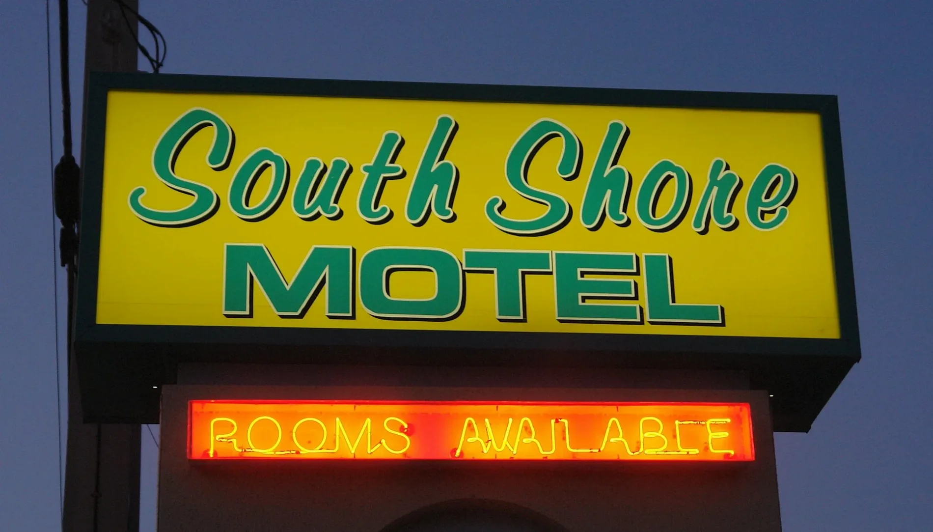
South Shore Motel550 ft
Dream Inn0.1 mi
Pharmacies nearby
CVS Pharmacy0.5 mi
Public transit map Daytona Beach Shores Legend
| Railway | |
| Bus | |
| Streetcar |
Bicycle map Daytona Beach Shores Legend
| Bike path | |
| Bike lane on roadway | |
| Cycling allowed on bus lane | |
| Bicycle street | |
| Open to cyclists | |
| Open to cyclists, good path | |
| Cycling prohibited | |
| Cobblestone |
| Long-distance bike route | (depending on scale) | |
| Long-distance bike route |
Pedestrian map Daytona Beach Shores Legend
| Path |
| Long-distance hiking trail | (depending on scale) | |
| Long-distance hiking trail | ||
| Pedestrians prohibited |