
East 46th Street in Savannah, Georgia
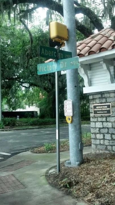
East 46th Street in Savannah is an asphalted residential street. It runs in an east-west direction starting from Bull Street and crosses Entelman Place, Myrick Place, Abercorn Street, Kavanaugh Place, Habersham Street, Battey Street, Chatham Crescent, Reynolds Street, Atlantic Avenue, Paulsen Street and Harmon Street. It ends in a cul-de-sac. East 46th Street also exists in Tift County.
- Road Type
- residential street
- Route
- east-west
Image
Bus stops
Parcel lockers
Cafes
Places of worship
Restaurants
Bars
Antique stores
Fast food restaurants
Schools
Music stores
Streets nearby
Washington AvenueSaint Michael and All Angels Episcopal Church
450 ft
Battey Street0.1 mi
East Victory DriveParker's, Coaches Corner, BP, Thunderbolt Self Storage, First Church of Christ Scientist, Ardsley Park-Chatham Crescent Historic District
0.2 mi
Chatham Crescent0.2 mi
McGillicuddy Lane0.2 mi
East 44th StreetBlessed Sacrament Catholic School
0.2 mi
East 48th StreetWashington Avenue Christian Church
0.2 mi
East 41st Street0.3 mi
Atlantic AvenueFirst Christian Church
0.3 mi
Kavanaugh Place0.3 mi
East 50th StreetFiftieth Street Church of Christ
0.3 mi
Maupas AvenueFaith Full Gospel Deliverance Church
0.3 mi
Paulsen StreetKayak Cafe
0.3 mi
East Broad StreetVictory Bible Fellowship Church, Genesis New Life Apostolic Church, Mount Tabor Baptist Church, Cha Bella
0.3 mi
East 41st LanePicker Joe's Antique Mall & Vintage Market, Popeyes
0.3 mi
Price StreetScreaming Mimi's
0.4 mi
East 40th StreetAl Salaam Deli
0.4 mi
Abercorn StreetMen's Wearhouse, Carey Hilliard's, Dollar Tree, Carrabba's Italian Grill, B&D Burgers, Urgent Pet Care, J.C. Lewis, Jr. US Post Office, B'nai B'rith Jacob Synagogue, CRC Guns & Weaponry, Verizon, Murphy Express, McDonald's, Jared, Walgreens, bp, LongHorn Steakhouse, Carter's, Moe's Southwest Grill, Chili's, Sleep Number, Bowl and Brew, Abercorn Heights, Savannah Kempo, Sephora, Buffalo Wild Wings, Guitar Center, West Marine
0.4 mi
Vetsburg Place0.4 mi
East 42nd Street0.4 mi
Myrick Place0.4 mi
East 45th Street0.4 mi
East 39th Street0.4 mi
Lattimore Place West0.4 mi
Harmon StreetGospel Temple Church of God
0.4 mi
Lincoln StreetThe Melting Pot, Boar's Head, Beth Eden Baptist Church, Lone Wolf Lounge
0.4 mi
Entelman Place0.4 mi
East 49th Street0.5 mi
Habersham StreetWalgreens
0.5 mi
East 54th StreetEdgemere
0.5 mi
Gaudry Place0.5 mi
East 55th StreetWhitefield United Methodist Church
0.5 mi
Reynolds StreetHoly Spirit Lutheran Church, Kensington Park
0.5 mi
Buildings nearby
Ellis Elementary school0.1 mi
Cemeteries nearby
First Presbyterian Church Garden0.3 mi
Commercial areas nearby
Starland District0.4 mi
Gas stations nearby
BP0.4 mi
Parks nearby
Guckenheimer Park0.1 mi
Tiedeman Park0.2 mi
McCauley Park0.2 mi
Kavanaugh Park0.3 mi
Baldwin Park0.3 mi
Lattimore Park0.4 mi
Vetsburg Park0.4 mi
Theus Park0.4 mi
Solomons Park0.5 mi
Smith Gaudry Park0.5 mi
Hull Park0.5 mi
Places of worship nearby
First Presbyterian Church of Savannah0.3 mi
Public transit map Savannah Legend
| Railway | |
| Bus | |
| Streetcar |
Bicycle map Savannah Legend
| Bike path | |
| Bike lane on roadway | |
| Cycling allowed on bus lane | |
| Bicycle street | |
| Open to cyclists | |
| Open to cyclists, good path | |
| Cycling prohibited | |
| Cobblestone |
| Long-distance bike route | (depending on scale) | |
| Long-distance bike route |
Pedestrian map Savannah Legend
| Path |
| Long-distance hiking trail | (depending on scale) | |
| Long-distance hiking trail | ||
| Pedestrians prohibited |