
Mc Whorter Street in Menlo, Georgia
Mc Whorter Street in Menlo is a residential street. It runs in a north-south direction starting from 10th Avenue and crosses East Wheatstone Street. It ends in a cul-de-sac.
- Road Type
- residential street
- Route
- north-south
Image
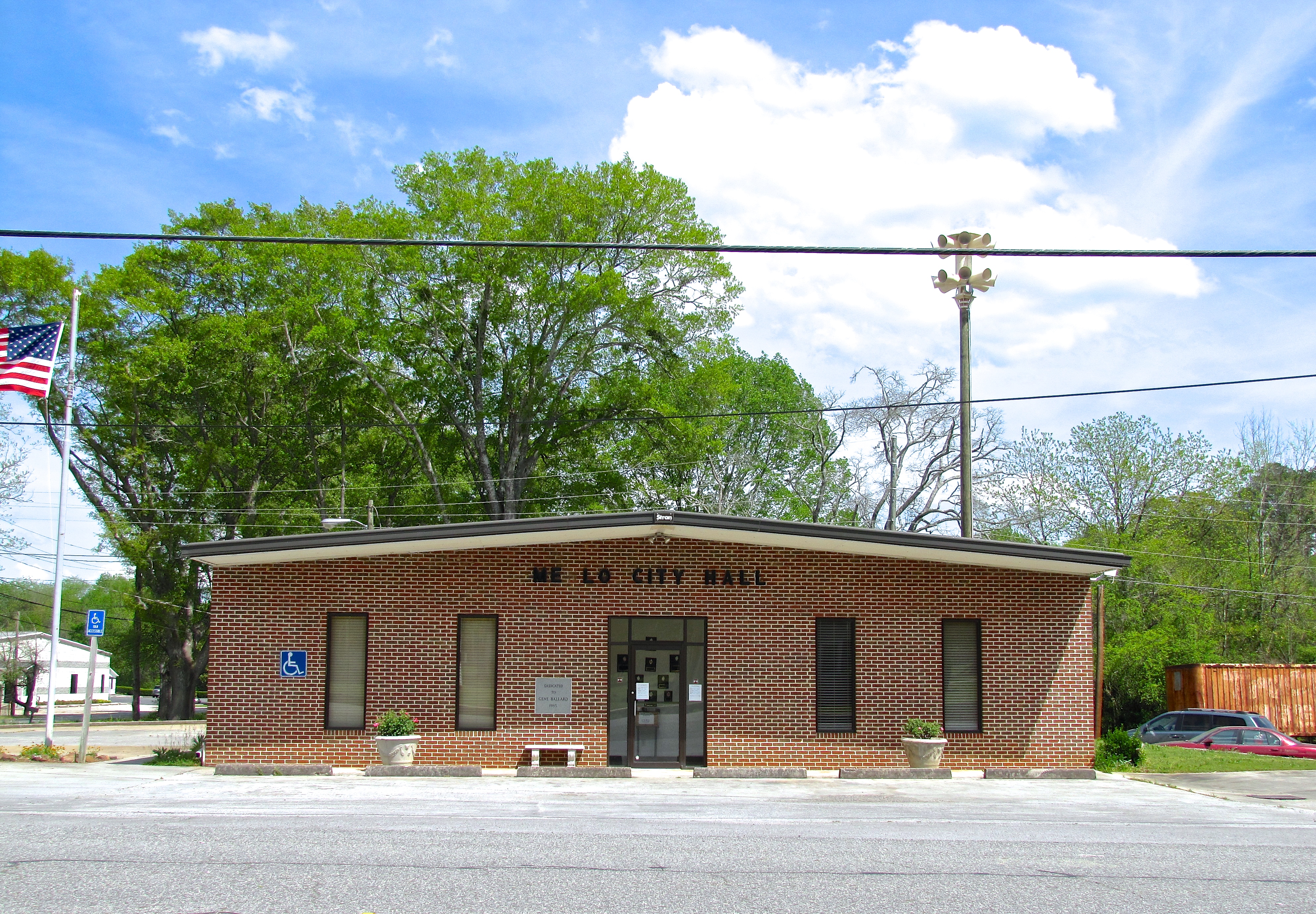
Streets nearby
East Wheatstone550 ft
East Wheatstone Street0.1 mi
10th Avenue0.1 mi
9th Avenue0.2 mi
West Wheatstone0.2 mi
Graham Street0.2 mi
6th Avenue0.3 mi
8th Avenue0.3 mi
11th Avenue0.3 mi
Dogwood Hill0.3 mi
Franklin Street0.3 mi
7th AveMenlo
0.3 mi
5th Avenue0.3 mi
Bell Street0.4 mi
North 6th Avenue0.4 mi
North 5th Avenue0.4 mi
Edison Circle0.4 mi
Enterprise Street0.4 mi
Chestnut Street0.4 mi
Lafayette Street0.5 mi
Ralph Chamblee Drive0.5 mi
Edison Street0.5 mi
Church Street0.5 mi
Chelsea Circle0.5 mi
Morse Street0.5 mi
Reece Street0.5 mi
Sawmill Road0.5 mi
Allison Lane0.6 mi
Scout Street0.6 mi
Mitchell Road0.6 mi
7th Avenue0.6 mi
Ridge Street0.7 mi
Ward Street0.7 mi
Polk Street0.7 mi
South Shinbone Road0.9 mi
Shinbone Valley Road0.9 mi
Buck Garner Road1.2 mi
Massey Road1.2 mi
Old Hwy 3371.2 mi
Iron Gate Road1.3 mi
Peach Orchard Road1.3 mi
McWhorter Road1.3 mi
Jamestown RoadAmi Cemetery
1.4 mi
Ami Cemetery Road1.5 mi
Pristine Lane1.7 mi
Public transit map Menlo Legend
| Railway | |
| Bus | |
| Streetcar |
Bicycle map Menlo Legend
| Bike path | |
| Bike lane on roadway | |
| Cycling allowed on bus lane | |
| Bicycle street | |
| Open to cyclists | |
| Open to cyclists, good path | |
| Cycling prohibited | |
| Cobblestone |
| Long-distance bike route | (depending on scale) | |
| Long-distance bike route |
Pedestrian map Menlo Legend
| Path |
| Long-distance hiking trail | (depending on scale) | |
| Long-distance hiking trail | ||
| Pedestrians prohibited |