
Depot Street in Ball Ground, Georgia
Depot Street in Ball Ground is a two-lane, asphalted residential street. It runs in a southeast-northwest direction starting from Old Canton Road and crosses Mound Street, Valley Street, Chestnut Street, Lowry Street and Northridge Road and ends at Summit Circle. Depot Street also exists in Charlton County, Hart County, Fannin County, Whitfield County and Catoosa County.
- Road Type
- residential street
- Lanes
- 2
- Speed Limit
- 25 mph
- Route
- southeast-northwest
Restaurants
Fire stations
Fast food restaurants
Event venues
Artworks
Veterinary clinics
Pharmacies
Vending machines
Streets nearby
Chestnut Street350 ft
Valley StreetBall Ground Pharmacy, Cherokee County Fire Station 2
400 ft
Lerol Street450 ft
Lowry Street0.1 mi
Beck Street0.1 mi
Mound Street0.2 mi
Summit Circle0.2 mi
Kilby Street0.2 mi
Northridge Road0.2 mi
Tatum Circle0.2 mi
Gilmer Ferry RoadBall Ground, Les Bon Temps Louisiana Kitchen, Ball Ground Burger Bus, Frankfurt Döner & Meats
0.2 mi
Old Canton Road0.2 mi
Nix Street0.3 mi
Civic Drive0.3 mi
Carroll Street0.3 mi
Groover Street0.3 mi
Hall Street0.3 mi
Lyons Avenue0.3 mi
A. W. Roberts Drive0.3 mi
Byrd Hill0.4 mi
Strippling Street0.4 mi
McHan Street0.4 mi
Church Street0.4 mi
Blackwell Street0.4 mi
Canton HighwayBP
0.4 mi
Grogan Street0.4 mi
Antique stores nearby
The Green Hen0.2 mi
Art galleries nearby
Max Lebven Art Gallery0.2 mi
Bakeries nearby
Jill's Bakery0.2 mi
Bookstores nearby
Jody's Books0.2 mi
Cemeteries nearby
Ball Ground First Baptist Cemetery0.4 mi
Commercial buildings nearby
Talking Rock Realty0.2 mi
General stores nearby
Martin's General Store0.2 mi
Hair salons nearby
Ball Ground Barber Shop & Salon0.3 mi
Interior decorators nearby
Southern Oak Provisions0.2 mi
The V Market0.3 mi
Libraries nearby
Ball Ground Public Library0.4 mi
Parks nearby
Lions Club Field0.2 mi
Ball Ground City Park0.3 mi
Calvin Farmer Park0.3 mi
Pet stores nearby
Ball Ground Hounds0.2 mi
Places of worship nearby
Faith Baptist Church0.4 mi
Ball Ground First Baptist Church0.4 mi
Police stations nearby
Ball Ground Police Department0.1 mi
Post offices nearby
Ball Ground Post Office400 ft
Restaurants nearby
Chef Rosario's Italian Kitchen0.2 mi
Lora Mae's0.3 mi
Town halls nearby
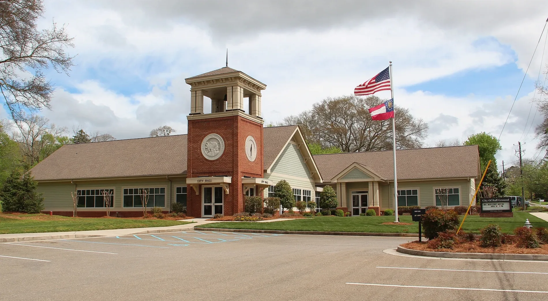
Ball Ground City Hall0.1 mi
Veterinary clinics nearby
Ball Ground Animal Hospital0.2 mi
Public transit map Ball Ground Legend
| Railway | |
| Bus | |
| Streetcar |
Bicycle map Ball Ground Legend
| Bike path | |
| Bike lane on roadway | |
| Cycling allowed on bus lane | |
| Bicycle street | |
| Open to cyclists | |
| Open to cyclists, good path | |
| Cycling prohibited | |
| Cobblestone |
| Long-distance bike route | (depending on scale) | |
| Long-distance bike route |
Pedestrian map Ball Ground Legend
| Path |
| Long-distance hiking trail | (depending on scale) | |
| Long-distance hiking trail | ||
| Pedestrians prohibited |