
North Newton Street in Athens, Georgia
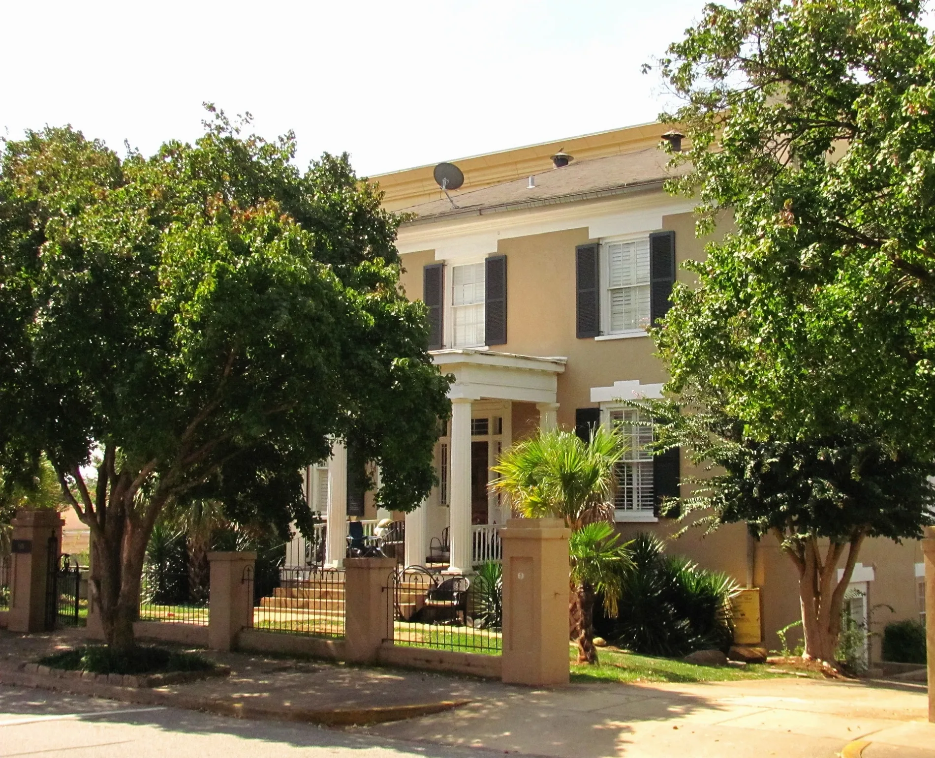
North Newton Street in Athens is an asphalted residential street. It runs in a north-south direction starting from Prince Avenue and crosses Meigs Street, West Hancock Avenue, Reese Street and West Broad Street and ends at South Newton Street. North Newton Street also exists in Chatham County and Evans County.
- Road Type
- residential street
- Speed Limit
- 30 mph
- Route
- north-south
Image
Bars
Community centers
Nightclubs
Tattoo studios
Pubs
Clothing stores
Bus stops
Community centers
Banks
Attractions
Bike shops
Restaurants
Artworks
Cafes
Tobacco shops
Places of worship
Music stores
Streets nearby
South Finley StreetTree That Owns Itself
500 ft
South Newton Street500 ft
Florida Avenue500 ft
Reese StreetHill First Baptist Church, Sigma Alpha Epsilon, Saint Johns Holiness Church, Ebenezer Baptist Church West
0.1 mi
West Clayton StreetSister Louisa's Church, Tropical Bar, Shokitini, Blue Rat Smoke Shop, Waffle House, Cheeky Peach, Empire South, Last Resort Grill, Arete Style, 3 Ravens, Dukes
0.1 mi
West Hancock AvenueDowntown Dawg, Frogger, Chandelier, The National, Ciné, Biotest Dawg, Honey Comb, J.C. Laundry, Creature Comforts
0.2 mi
Athens Mural AlleyTrappeze Pub, Welcome to Athens
0.2 mi
North Finley StreetExpress Nails, Punta Cana Latin Grill, Daydreamer Cafe
0.2 mi
Pulaski StreetThe Rook & Pawn
0.2 mi
West Washington Street40 Watt Club, Clocked, Lo Yo Yo Stuff, Flicker Theatre & Bar, Epiphany, Pain & Wonder, Hope, El Paso Tacos & Tequila, Ding Tea, Cheba Hut "Toasted" Subs
0.2 mi
Meigs StreetTapped Athens, Athens Area Vocational School, Big City Bread Cafe
0.2 mi
North Hull StreetManhattan Cafe, Little Kings Shuffle Club, Dawg Gone Good BBQ, The World Famous, Brown’s Barber Shop, Wilson's His & Hers Styling Shop, Morton Theater, Blair’s Belts, Tame Style Bar, Five Bar, DressUp
0.2 mi
West Dougherty StreetAthens Blueprint & Copy Shop, Live Wire Athens, Dougherty Street at Hull Street, 227 West Dougherty Street
0.3 mi
Apartment buildings nearby
William450 ft
421 West0.2 mi
Cotton Exchange0.2 mi
Georgia Heights0.2 mi
One Hundred Prince0.3 mi
Banks nearby
Synovus0.3 mi
Buildings nearby
AT&T350 ft
Drawing & Painting Studios0.1 mi
Interior Design Studios0.1 mi
Environmental Design Studios0.1 mi
Morton Building0.2 mi
Cafes nearby
Foxtail Coffee Company0.1 mi
Chapels nearby
The Chapel Athens0.3 mi
Hotels nearby
Holiday Inn Express400 ft
Georgia Gameday Center0.1 mi
Houses nearby
Ross Crane House500 ft
Camak House0.2 mi
Music venues nearby
Georgia Theatre0.2 mi
Office buildings nearby
Chastain Building0.2 mi
Athens Area Chamber of Commerce0.2 mi
Jessie B. Denney Tower0.3 mi
Dougherty Street Government Building0.3 mi
Outdoor seatings nearby
The Beer Garden at Paloma Park0.2 mi
The Garden at Last Resort0.2 mi
Parking lots nearby
West Washington Building0.2 mi
Places of worship nearby
Redeemer Presbyterian Church400 ft
First Baptist Church0.2 mi
First Christian Church0.2 mi
First African Methodist Episcopal Church0.3 mi
Public buildings nearby
Athen Clarke County Public Utilities Department Customer Service Center0.3 mi
United States Post Office and Court House0.3 mi
Residential areas nearby
Parkview Homes250 ft
Rambler450 ft
Restaurants nearby
Chuck's Fish0.2 mi
Paloma Park0.2 mi
Ted's Most Best0.2 mi
Public transit map Athens Legend
| Railway | |
| Bus | |
| Streetcar |
Bicycle map Athens Legend
| Bike path | |
| Bike lane on roadway | |
| Cycling allowed on bus lane | |
| Bicycle street | |
| Open to cyclists | |
| Open to cyclists, good path | |
| Cycling prohibited | |
| Cobblestone |
| Long-distance bike route | (depending on scale) | |
| Long-distance bike route |
Pedestrian map Athens Legend
| Path |
| Long-distance hiking trail | (depending on scale) | |
| Long-distance hiking trail | ||
| Pedestrians prohibited |