
Reese Street in Athens, Georgia
Reese Street in Athens is a residential street. It runs in an east-west direction starting from North Rocksprings Street and crosses North Billups Street, North Chase Street, North Franklin Street, North Milledge Avenue, North Harris Street, North Church Street, North Pope Street, North Finley Street and North Newton Street and ends at Pulaski Street. Nearby you can find 3 places of worship and a community center. The nearest bus stop is Broad St @ Newton St (to Milledge) (about 200 m away). Reese Street also exists in Elbert County, Walton County, Morgan County, Cherokee County and Wilkinson County.
- Road Type
- residential street
- Route
- east-west
Image
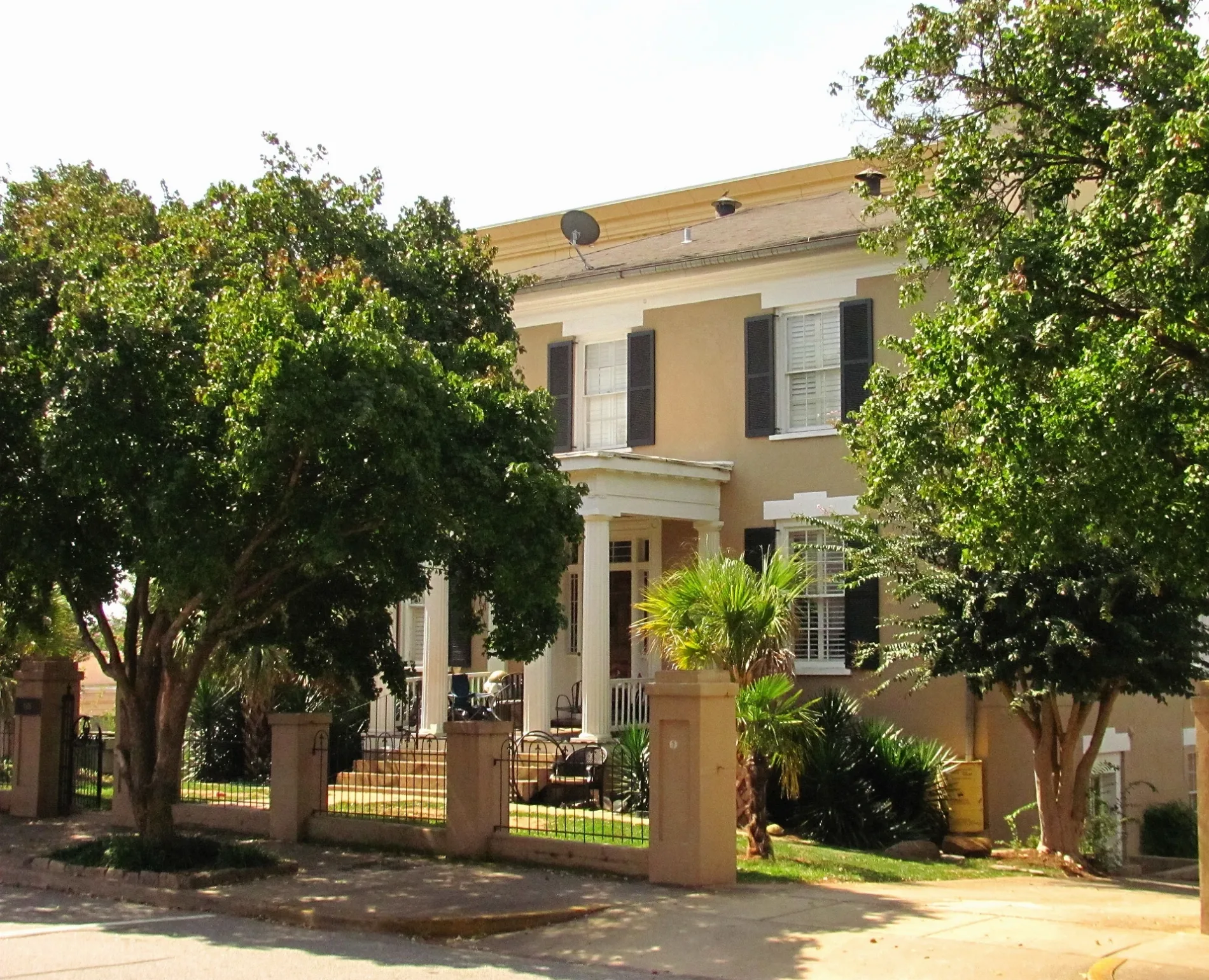
Community centers
Streets nearby
North Finley StreetExpress Nails, Punta Cana Latin Grill, Daydreamer Cafe
450 ft
South Finley StreetTree That Owns Itself
500 ft
West Broad StreetCVS Pharmacy, 2361 West Broad Street, Georgia Spa Company, West Broad Street at Minor Street Inbound, West Broad Street at Broadacres Outbound, Saint Mary's Auxiliary Thrift Store, West Broad Street at Saint Mary's Inbound, Broad at 2170 West Broad, 2113 West Broad Street, Rio Body Wax, AAMCO, Farmers Home Furniture, Rent-A-Center, Sherwin-Williams, The Wholesale Hookup, Blossoms Wholesale, 2226 West Broad, 2241 West Broad Street, Spectagraphics, Phoenix Community of Athens, Ben's Bikes, Ideal Bagel Co., West Broad Street at Church Street Inbound, West Broad Street at Church Street Outbound, Treehouse Kid & Craft, The Bar @ Saucehouse, Chase, Argo Dawg, Broad and Milledge Inbound, West Broad Street at Billups Street Outbound, West Broad Street at South Chase Street Inbound, Bike Athens, Pedal Driven Cycles, West Broad Street at South Rocksprings Street Inbound, The Gear Attic, Broad and Holman Outbound 2, European Wax Center, DP Dough, Parkview Recreation Center, Broad St @ Newton St (to Downtown), Broad St @ Newton St (to Milledge), Epik Kutz, Atlanta Highway at River's Edge Inbound, 1998 West Broad Street, Atlanta Highway at Senior Sol, 2434 West Broad, Bulldog Mobile Repair, Broad and Milledge Outbound, Broad Street Studios, Hey Baby
500 ft
Morton Alley0.2 mi
Meigs StreetTapped Athens, Athens Area Vocational School, Big City Bread Cafe
0.2 mi
North Church Street0.2 mi
South Church StreetDearing Street Historic District, University Cuts, Pelican’s Snoballs, University Church, Brumby Hall
0.2 mi
North Newton Street0.2 mi
Childs Street0.2 mi
Hill Street0.2 mi
North Harris StreetClarke County Health Department
0.3 mi
Prince AvenuePrince Aveue @ Park Avenue, Athens Regional Medical Center, 2000 Prince Ave, Prince Avenue and Sunset Drive Inbound, Taziki's Mediterranean Cafe, Hendershot’s, Pretty Boy, Little Free Library, Seabear Oyster Bar, Blüm Nail Bar, Poquitos, Emmy Squared Pizza, Athens Cooks, Prince Market, Yossi Kitchen, 1490 Prince Avenue, Health Sciences Campus (Prince Avenue), Petals on Prince, The Lark, Prince Avenue @ Chase Street (to main campus), Georgia Power Dawg, Prince Avenue @ Chase Street (to HSC), Prince Avenue at Pulaski Street, Farm Burger, Prince Avenue at Childs Street, Labels Resale Boutique, 347 Prince Avenue, Revival Yarns, Prince Avenue @ Milledge Avenue (to main campus), Prince Avenue @ Milledge Avenue (to Health Sciences), The Sparrow's Nest, Piedmont College, Prince Avenue at Grady Avenue, Tribe Hair Co., Care Medical, Normaltown, 1650 Prince Avenue, Prince Aveue @ King Avenue, Prince Avenue @ Nacoochee Avenue, Nacoochee Avenue, The Flying Biscuit Cafe, Barberitos, Daily Groceries Co-Op, 1390 Prince Avenue, Lucky Cobra Tattoo, Normal Bar, Reboot Computer, Normal Hardware, Fully Loaded Pizza, Hi-Lo Lounge, The Old Pal, Prince Aveue @ Georgia Avenue, Agua Linda, Chispa House, Marti's at Midday, Sam's, 2090 Prince Ave
0.3 mi
Barber StreetBarber at Prince Avenue Inbound, Bobby Snipes Building Outbound, Barber Street at Cleveland Avenue Outbound, Buvez!, State, Athens Area Emergency Food Bank, Barber and Boulevard Outbound, 140 Barber Street
0.3 mi
North Pope StreetCASA, Children First, Athens Land Trust, Birdies
0.3 mi
Shops nearby
Benson’s Hospitality Group0.2 mi
Antique stores nearby
Antiques & Jewels0.3 mi
Apartment buildings nearby
421 West400 ft
The Lofts on Milledge0.4 mi
Auto repair shops nearby
Howard’s Body & Paint Shop0.1 mi
AutoRam Motors0.2 mi
Buildings nearby
Lyceum0.3 mi
Larry Baumwald Insurance Agency, Inc.0.3 mi
UGA Presidents House0.3 mi
Cemeteries nearby
Emmanuel Episcopal Church Columbarium0.3 mi
Clothing stores nearby
Half Moon Outfitters0.3 mi
Commercial areas nearby
Bottleworks0.2 mi
Commercial buildings nearby
Venue on Broad0.1 mi
Fowler Office Products0.3 mi
CollegeTown Properties0.4 mi
Convenience stores nearby
Golden Pantry0.2 mi
Costa de Jalisco0.3 mi
Dentist's offices nearby
Life Point Dental0.4 mi
Fast food restaurants nearby
Wendy's0.2 mi
Captain D's0.2 mi
Furniture stores nearby
Starlight Showroom0.1 mi
Gas stations nearby
Shell0.2 mi
Gift shops nearby
Nest0.3 mi
Houses nearby
Camak House0.1 mi
Motels nearby
Americas Best Value Inn0.2 mi
Museums nearby
T.R.R. Cobb House0.2 mi
Parks nearby
Reese & Pope Park300 ft
Cobbham Historic District Neighborhood Park0.3 mi
Places of worship nearby
Emmanuel Episcopal Church0.3 mi
Residential areas nearby
Rambler400 ft
Restaurants nearby
Saucehouse0.2 mi
Taqueria del Sol0.2 mi
Single-family houses nearby
Young Y.G. Harris House0.2 mi
Streams nearby
Tanyard Creek250 ft
Veterinary clinics nearby
Boulevard Animal Hospital0.2 mi
 Public transit map Athens Legend
| Railway | |
| Bus | |
| Streetcar |
 Bicycle map Athens Legend
| Bike path | |
| Bike lane on roadway | |
| Cycling allowed on bus lane | |
| Bicycle street | |
| Open to cyclists | |
| Open to cyclists, good path | |
| Cycling prohibited | |
| Cobblestone |
| Long-distance bike route | (depending on scale) | |
| Long-distance bike route |
 Pedestrian map Athens Legend
| Path |
| Long-distance hiking trail | (depending on scale) | |
| Long-distance hiking trail | ||
| Pedestrians prohibited |