
West Mercer Avenue Alley in Albany, Georgia
West Mercer Avenue Alley in Albany is a service road and it runs in an east-west direction starting from South Jefferson Street and ends at South Jackson Street.
- Road Type
- service road
- Speed Limit
- 25 mph
- Route
- east-west
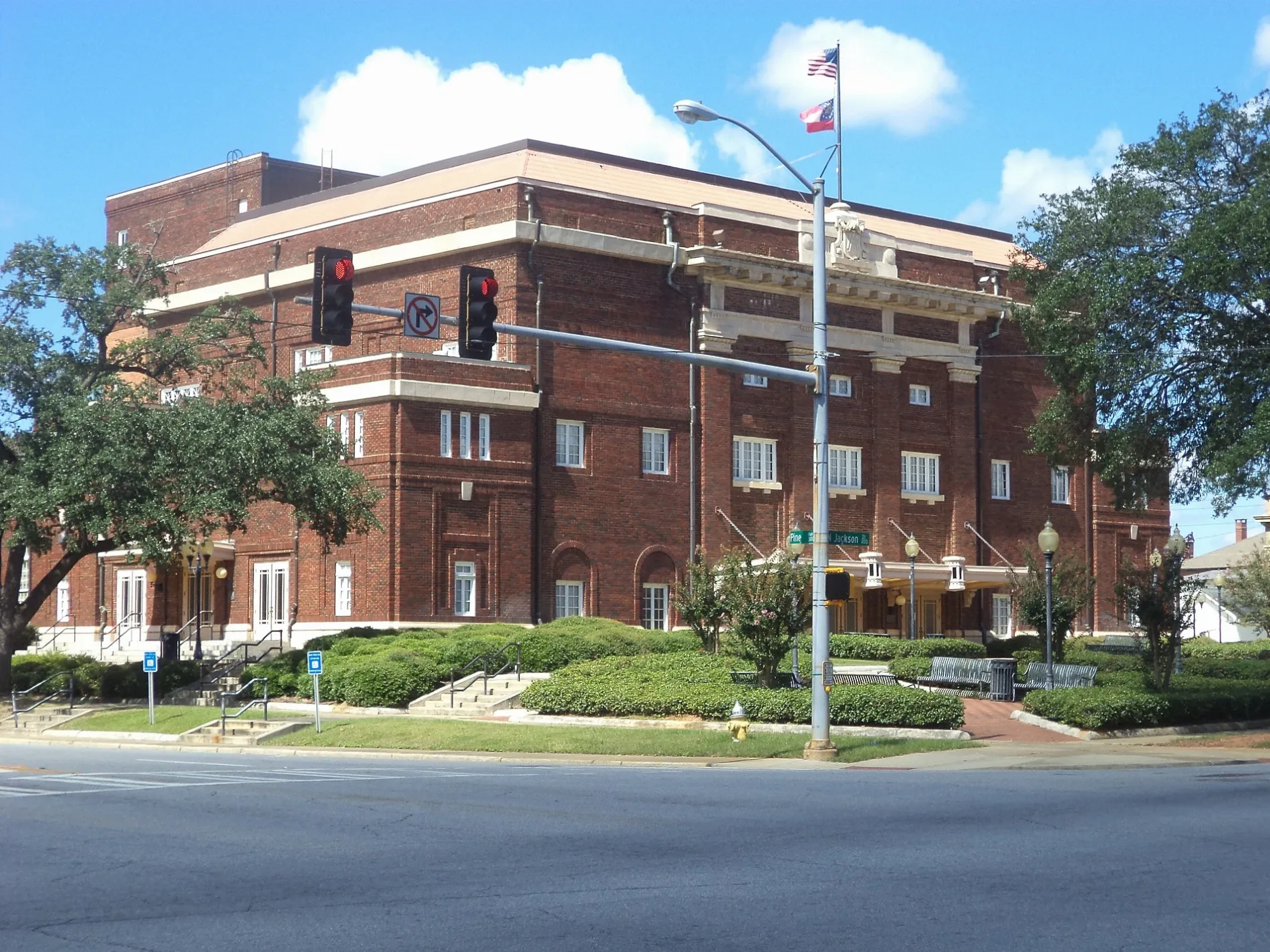
Image
Theaters
Post offices
Courthouses
Community centers
Places of worship
Streets nearby
West Mercer AvenueDougherty County Trainable Mental Retarded Center
300 ft
South Jefferson StreetShiloh Baptist Church
0.1 mi
West Lincoln AvenueCherokee Heights, Avalon Church
0.2 mi
West Highland AvenueFamily Dollar
0.2 mi
Westbrook Street0.2 mi
West Gordon AvenueGloriana, Madison School, Hebrew Baptist Church
0.2 mi
Albany Transit Center Driveway0.2 mi
South Jackson StreetFlintside, Riverview, Eureka Baptist Church
0.3 mi
West Whitney AvenueMount Zion First Baptist Church
0.3 mi
South Monroe StreetC K Smith Memorial Presbyterian Church, First Church of God in Christ, Ragsdale
0.3 mi
Mercer Avenue0.3 mi
South Washington Street0.3 mi
Oglethorpe AlleyBroad School
0.3 mi
West Oglethorpe Boulevard0.3 mi
North Jackson StreetArcadia Baptist Church
0.4 mi
West Broad AvenueFriendship Baptist Church, Greater Cutliff Grove Missionary Baptist Church, Albany Post Office
0.4 mi
North Washington Street0.4 mi
North Jefferson Street0.4 mi
North Monroe StreetFirst Church of Christ Scientist, Hinds
0.5 mi
Cherry Avenue0.5 mi
North Front Street0.5 mi
Corn Avenue Alley0.5 mi
Corn AvenueLincoln Fundamental School
0.5 mi
Newton RoadMount Olive Baptist Church
0.5 mi
Hall StreetDougherty County Courthouse, Dougherty County Jail
0.5 mi
East Oglethorpe Boulevard0.5 mi
Champion Lane0.5 mi
Pine AvenueAlbany, Krispy Kreme
0.6 mi
College DriveHazard Training School
0.6 mi
South Front Street0.6 mi
Buildings nearby
Harvest Moon0.4 mi
Albany Municipal Auditorium0.5 mi
Albany Welcome Center0.5 mi
Bus stations nearby
Albany Transit Center0.2 mi
Cemeteries nearby
Oakview Cemetery0.2 mi
Riverside Cemetery0.6 mi
Hotels nearby
Hilton Garden Inn Albany0.4 mi
Libraries nearby
Dougherty County Public Library0.5 mi
Museums nearby
Albany Civil Rights Institute450 ft
Parks nearby
Charles M. Sherrod Civil Rights Park0.1 mi
Veterans Park0.4 mi
Riverfront Park0.4 mi
Ragsdale Park0.6 mi
Places of worship nearby
Bethel African Methodist Episcopal Church0.2 mi
Public buildings nearby
Albany Civic Center ADM Offices0.3 mi
Restaurants nearby
The Flint0.5 mi
University buildings nearby
Facilities Management0.6 mi
L. Orene Hall Building0.6 mi
Institutional Advancement0.6 mi
Public transit map Albany Legend
| Railway | |
| Bus | |
| Streetcar |
Bicycle map Albany Legend
| Bike path | |
| Bike lane on roadway | |
| Cycling allowed on bus lane | |
| Bicycle street | |
| Open to cyclists | |
| Open to cyclists, good path | |
| Cycling prohibited | |
| Cobblestone |
| Long-distance bike route | (depending on scale) | |
| Long-distance bike route |
Pedestrian map Albany Legend
| Path |
| Long-distance hiking trail | (depending on scale) | |
| Long-distance hiking trail | ||
| Pedestrians prohibited |