
Pinhoti Trail in Fannin County, Georgia
Pinhoti Trail in Fannin County is a path. It runs in a north-south direction and ends at State Route 2, while the other end is a cul-de-sac. Pinhoti Trail also exists in Murray County, Whitfield County, Polk County, Chattooga County and Gilmer County. Ⓦ.
- Bicycle
- yes
- Road Type
- path
- Route
- north-south
Image
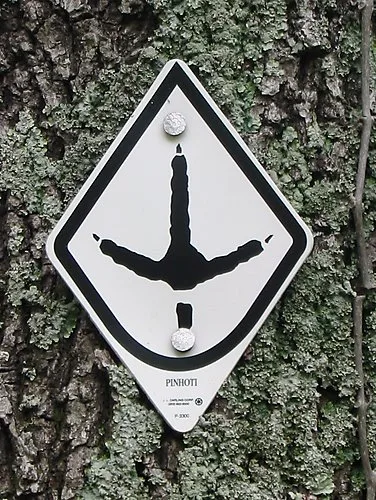
Streets nearby
State Route 21.1 mi
South Fork1.1 mi
FS 641.5 mi
South Fork Trail1.6 mi
Rough Ridge1.6 mi
Mountaintown Creek1.8 mi
Fairbanls Lane1.9 mi
Jacks River Road2.1 mi
Foster Branch RoadBethlehem Church
2.1 mi
Bravo Lane2.3 mi
Three Forks2.4 mi
Jacks River2.6 mi
Highway 22.6 mi
Benton MacKaye TrailPayne Gap campsite.
2.8 mi
Old State 2 Drive3.0 mi
Settlement Road3.0 mi
Sugar Cove3.1 mi
Cohutta View Road3.1 mi
Sky Dancer Ridge3.3 mi
F S Road3.3 mi
Forest Cove Road3.3 mi
Pinhoti Trail3.5 mi
Forest Service Road (22-23.5 mi
Cemeteries nearby
Jones Cemetery1.2 mi
Houses nearby
67 Sky Dancer Ridge3.3 mi
Streams nearby
West Fork Jacks River0.5 mi
South Fork Jacks River0.9 mi
Foster Branch0.9 mi
Conasauga Creek1.7 mi
Hurricane Branch1.9 mi
Rich Knob Branch1.9 mi
Heddy Creek2.0 mi
Mill Branch2.4 mi
Watson Creek2.4 mi
Crenshaw Branch2.5 mi
Dyer Creek2.5 mi
Horse Branch2.5 mi
Bear Branch2.7 mi
Cowpen Creek2.8 mi
Betty Creek2.9 mi
Sugar Cove Branch2.9 mi
Postelle Creek2.9 mi
Poplar Springs Branch2.9 mi
Devilsden Branch2.9 mi
Thomas Creek3.0 mi
Poplar Camp Creek3.1 mi
Polecat Branch3.3 mi
Ritchie Creek3.6 mi
Lost Cove Branch3.7 mi
Waters nearby
Browns Lake3.6 mi
| Heritage designation | National Recreation Trail |
|---|---|
| Protected area | Chattahoochee–Oconee National Forest, Talladega National Forest |
| Located in | Alabama, Georgia |
| Country | United States |
 Public transit map Fannin County Legend
| Railway | |
| Bus | |
| Streetcar |
 Bicycle map Fannin County Legend
| Bike path | |
| Bike lane on roadway | |
| Cycling allowed on bus lane | |
| Bicycle street | |
| Open to cyclists | |
| Open to cyclists, good path | |
| Cycling prohibited | |
| Cobblestone |
| Long-distance bike route | (depending on scale) | |
| Long-distance bike route |
 Pedestrian map Fannin County Legend
| Path |
| Long-distance hiking trail | (depending on scale) | |
| Long-distance hiking trail | ||
| Pedestrians prohibited |