
Civic Center Drive in Rome, Georgia
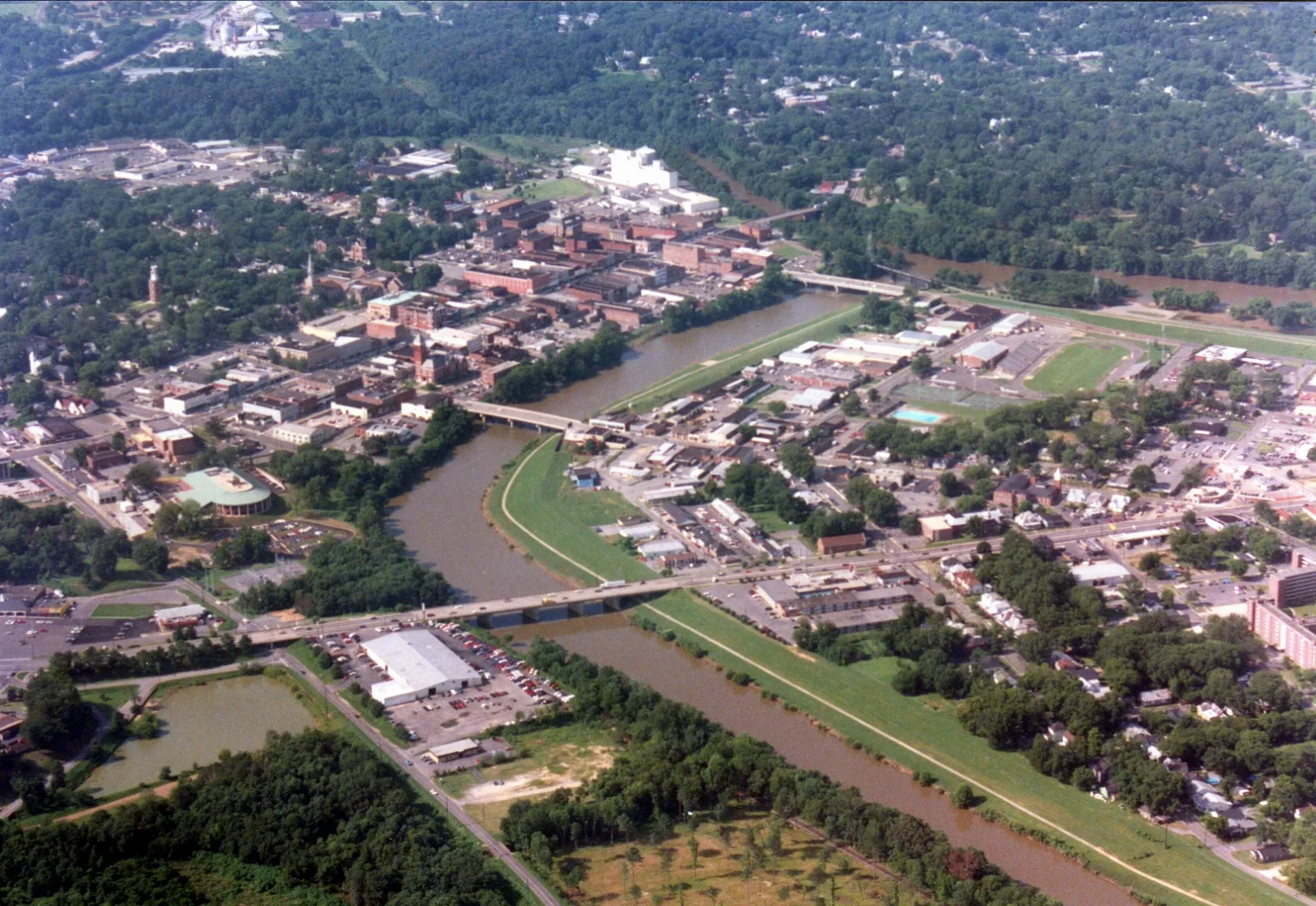
Civic Center Drive in Rome is a service road. The street has no sidewalks. It runs in a north-south direction starting from Dogwood Drive and ends at Jackson Hill Drive. Civic Center Drive also exists in Upson County.
- Road Type
- service road
- Route
- north-south
Image
Beauty salons
Hair salons
Gas stations
Town halls
Auto repair shops
Schools
Ice cream shops
Places of worship
Fast food restaurants
Gift shops
Copy shops
Fire stations
Convenience stores
Prisons
Courthouses
Public clocks
Streets nearby
Reservoir Drive450 ft
Dogwood Drive500 ft
Reservoir StreetHell's Hollow
0.1 mi
Turner McCall BoulevardPapa John's, Calvary Baptist Church, Citgo, Rome, Kroger Pharmacy
0.2 mi
Smith Street0.2 mi
Dwinell Street0.2 mi
West 2nd Street0.2 mi
Griffin Street0.3 mi
West 1st Street0.3 mi
Riverside Parkway NortheastFire Station Number 1, Metropolitan United Methodist Church
0.3 mi
AdventHealth ECO Greenway0.3 mi
Heritage TrailSport Clips, Cedarstream, Edible Arrangements, Spartan Smoothie, Tropical Nails, Floyd County Jail, Floyd County Courthouse
0.3 mi
West 8th Avenue0.3 mi
West Ross Street0.3 mi
Broad StreetRome City Hall, Rock-n-Roll Ice Cream Rolls, Old Havana Cigar Co.
0.4 mi
East 8th Avenue0.4 mi
Bale Street0.4 mi
West 6th Avenue0.4 mi
Martin Luther King Junior BoulevardHolsey Sinai Christian Methodist Episcopal Church, Marathon, Circle K
0.4 mi
East 1st StreetFirst Presbyterian Church, First Church of Christ Scientist, Roeph Sholom Synagogue
0.4 mi
The Reverend Doctor Martin Luther King Junior Boulevard0.4 mi
Martin Luther King, Jr. Boulevard0.4 mi
Government Plaza0.5 mi
West 5th Avenue0.5 mi
Auto parts stores nearby
AutoZone0.4 mi
Banks nearby
Georgia Power Northwest Federal Credit Union0.4 mi
Beauty salons nearby
A&T Nails0.2 mi
Cafes nearby
Starbucks0.2 mi
Cell phone stores nearby
Verizon0.3 mi
Cemeteries nearby
Oak Hill Cemetery0.2 mi
Fast food restaurants nearby
Steak 'n Shake0.1 mi
Smoothie King0.2 mi
Subway0.2 mi
KFC0.2 mi
Chick-fil-A0.2 mi
Checkers0.4 mi
Hardee's0.4 mi
Hotels nearby
Days Inn0.2 mi
Hampton Inn & Suites0.2 mi
Libraries nearby
Sarah-Hightower Library0.3 mi
Carnegie Library0.4 mi
Parks nearby
Rome City Hall0.4 mi
Floyd County Courthouse0.4 mi
Places of worship nearby
Saint Mary Catholic Church0.3 mi
Restaurants nearby
Applebee's0.2 mi
Olive Garden0.2 mi
Ole Tymer0.4 mi
Retail buildings nearby
Alpha Smoke0.4 mi
Supermarkets nearby
ALDI0.2 mi
 Public transit map Rome Legend
| Railway | |
| Bus | |
| Streetcar |
 Bicycle map Rome Legend
| Bike path | |
| Bike lane on roadway | |
| Cycling allowed on bus lane | |
| Bicycle street | |
| Open to cyclists | |
| Open to cyclists, good path | |
| Cycling prohibited | |
| Cobblestone |
| Long-distance bike route | (depending on scale) | |
| Long-distance bike route |
 Pedestrian map Rome Legend
| Path |
| Long-distance hiking trail | (depending on scale) | |
| Long-distance hiking trail | ||
| Pedestrians prohibited |