
Hurt Street Northeast in Atlanta
Hurt Street Northeast in Atlanta is a two-lane, asphalted local road. It runs in a southeast-northwest direction starting from Waverly Way Northeast and crosses Euclid Avenue Northeast, Edgewood Avenue Northeast and DeKalb Avenue Northeast and ends at DeKalb Avenue. Nearby there is a cafe. The nearest stop is Inman Park/Reynoldstown (about 150 m away).
- Road Type
- local road
- Lanes
- 2
- Route
- southeast-northwest
Image
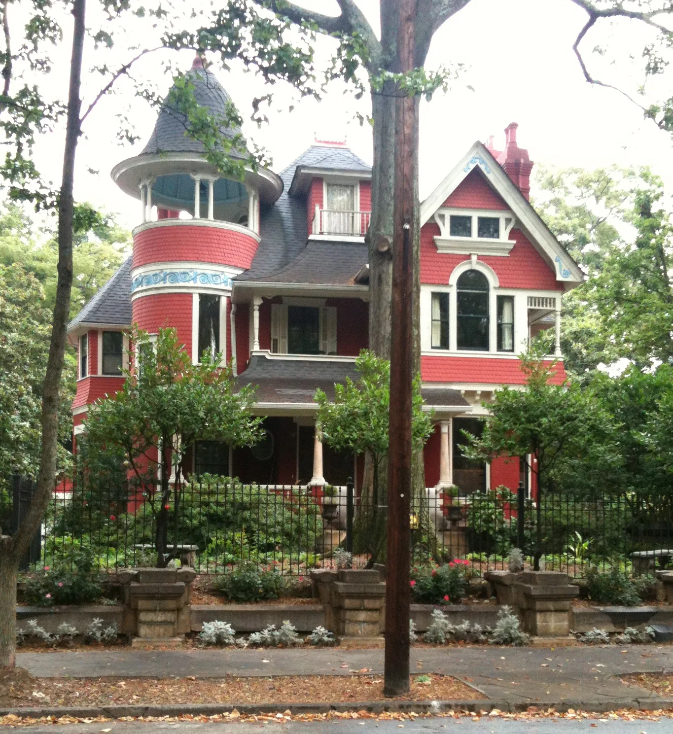
Cafes
Streets nearby
Battery Place Northeast500 ft
DeKalb AvenueInman Park/Reynoldstown, DeKalb Avenue Northeast & Haralson Avenue Northeast
0.1 mi
Poplar Court Northeast0.1 mi
DeKalb Avenue NortheastEdgewood, Clifton, Lloyds, Hell Yeah Gluten Free, Inman Park Animal Hospital, Dekalb Ave, Edgewood/Candler Park, Salon Red
0.1 mi
Seaboard Avenue Northeast0.1 mi
Kensington Street Northeast0.2 mi
Poplar Circle Northeast0.2 mi
Euclid Avenue NortheastAtlanta Montessori International School, 76, Rene Rene, Kolo, Ardens Garden, Niramish, Da Phunlie Munkie Rasta Shop, The Bazaar, Tangles, Four Corners of the Earth Market Place, Euclid Yacht Club, El Bandito Mexican Grill, Elmyr, Earth Tone, Java Lords Coffeehouse & Bar, Groomzmen, Karma Boutique, Rag-O-Rama, Filthy Wealth & Co., Cherry Bomb, 7 Stages Playhouse, Moods Music, Ali Baba Mediterranean, Long Island Ink
0.2 mi
Elizabeth Street NortheastStar Salon, K Chocolat, Bread & Butterfly
0.2 mi
Hardee Street Northeast0.2 mi
Holiday Avenue Northeast0.2 mi
Wade Street Northeast0.2 mi
Walthall Street Northeast0.2 mi
Edgewood Avenue NortheastCafe 458, U*Space Gallery, planet Bombay, Locker Club, Old Fourth, Church Annex, BoccaLupa, Inman Park Cooperative Preschool, Inman Dry Giods, Atlanta, Marietta and Peachtree, Five Points, GSU Police Department, DeKalb and Peachtree, Atlanta from the Ashes, Azalea Fresh Market, Subway, Hurt Park, Loughlin Radiation-Oncology Center, Sensational Subs, Kung Fu Tea, Mr. Hibachi, Herzing University, Atlanta, Streetz 94.5 FM, Spanish Harlem, Edgewood at Hillard, Street bike rack, Noni's, Sweet Auburn Market, Express Drugs
0.2 mi
Brantley Street0.2 mi
Waverly Way Northeast0.2 mi
Degress Avenue Northeast0.2 mi
Boulevard Drive NortheastWhoopsie's, Cutters Lounge, Feminine Funk, Purely Pkant, Caviar Hair Studio
0.2 mi
Haralson Lane NortheastHaralson Lane Northeast
0.2 mi
Moda Drive0.2 mi
Brantley Street NortheastT-Mobile
0.2 mi
Hawthorne Street Northeast0.3 mi
Haralson Avenue NortheastA Capella Books
0.3 mi
Reynolds Square Lane0.3 mi
Moda Lane0.3 mi
Weatherby Street Southeast0.3 mi
Moreland Avenue NortheastThe Vortex Bar & Grill, Savage Pizza, Aurora Coffee, Bill Hallman Flaunt, Wax n' Facts, Psycho Sisters Consignment Boutique, Clothing Warehouse, Frozen Yogurt, Junkmans Daughter, Stratosphere Skateboards, Bank of America, Moreland Ave & Druid Pl, Bond Community Federal Credit Union, Abbadabba, Ru San's, Augie's Breakfast Bar, Chase, Visionworks, Moreland Ave & 299, Sherwin-Williams, The Vitamin Shoppe, Front Page News, Cameli's
0.3 mi
Wylie Street SoutheastWylie & Rum Island Grill, Nothing Bundt Cakes, Hop-In
0.3 mi
Esten Street Southeast0.3 mi
Atlanta Beltline Southeast TrailAtlanta Police Department Path Force Unit Precinct, Curry Up Now, Taqueria Tsunami, Four Fat Cows, Daily Dose Coffee
0.4 mi
Cleveland Street Southeast0.4 mi
Apartment buildings nearby
Seaboard Weekes350 ft
Lizzie T0.1 mi
Station R0.2 mi
Banks nearby
Chase0.3 mi
Buildings nearby
The Trolley Barn0.2 mi
Disused railways nearby
Stein Steel Lead0.3 mi
Liquor stores nearby
Moreland Package Store0.4 mi
Parks nearby
Gateway Park0.3 mi
Places of worship nearby
Inman Park United Methodist Church300 ft
Free Gospel Interdenominational Church0.3 mi
House of the Lords Prayer0.4 mi
Railways nearby
Atlanta Terminal Subdivision0.2 mi
Residential areas nearby
Station Square0.2 mi
Reynoldstown Commons0.3 mi
Stationery stores nearby
Office Depot0.3 mi
Subway lines nearby
MARTA East Line0.2 mi
Train stations nearby
Inman Park / Reynoldstown MARTA Station250 ft
Other nearby
Reynoldstown0.3 mi
Public transit map Atlanta Legend
| Railway | |
| Bus | |
| Streetcar |
Bicycle map Atlanta Legend
| Bike path | |
| Bike lane on roadway | |
| Cycling allowed on bus lane | |
| Bicycle street | |
| Open to cyclists | |
| Open to cyclists, good path | |
| Cycling prohibited | |
| Cobblestone |
| Long-distance bike route | (depending on scale) | |
| Long-distance bike route |
Pedestrian map Atlanta Legend
| Path |
| Long-distance hiking trail | (depending on scale) | |
| Long-distance hiking trail | ||
| Pedestrians prohibited |