
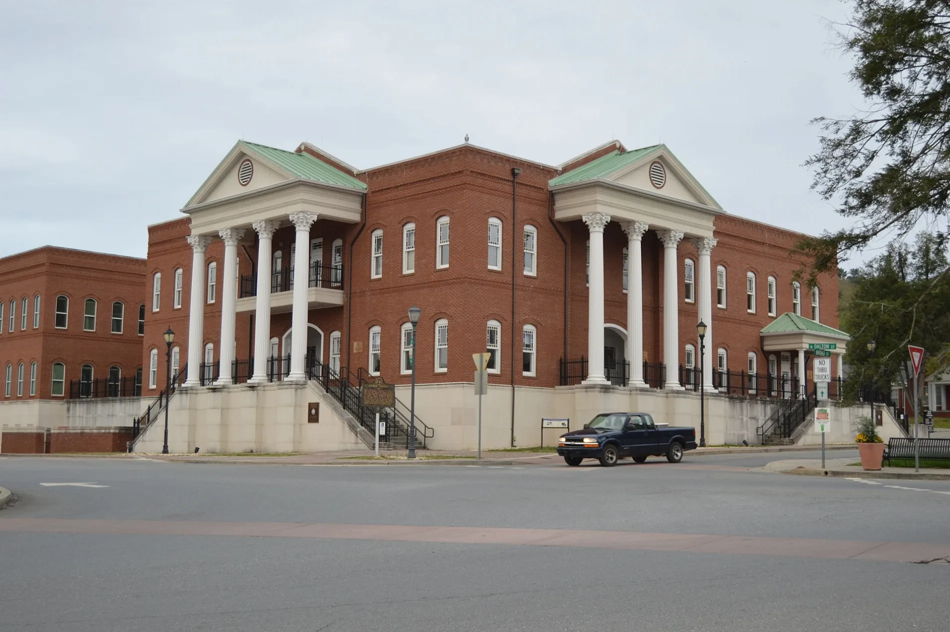
South Dalton Street in Ellijay, Georgia
South Dalton Street in Ellijay is an asphalted residential street. It runs as a one-way street in a northeast-southwest direction starting from Southside Square and ends at Spring Street.
- Road Type
- residential street
- Route
- northeast-southwest
Image
Clothing stores
Antique stores
Massage therapy clinics
Fire stations
Self storages
Restaurants
Furniture stores
ATMs
Schools
Cafes
Housewares stores
Secondhand stores
Police stations
Places of worship
Streets nearby
Southside SquareEllijay, Cantaberry Cafe
50 ft
South Main StreetJeanne's Crafts & More, Water Songs Salon, Regions Bank
200 ft
Northside Square200 ft
Spring Street300 ft
Broad Street300 ft
South Church StreetBlue Ridge Mountainn Outfitters
350 ft
Sand Street500 ft
River StreetRiver Street Tavern, Emily's Bar and Restaurant, Ellijay Wood Fired Pizza
550 ft
North Church Street0.1 mi
Hipp Street0.1 mi
Beaver Street0.1 mi
Delaware Street0.1 mi
Kell Street0.1 mi
Gilmer Street0.1 mi
College Street0.1 mi
Dogwood Street0.2 mi
North Avenue0.2 mi
Logan Street0.2 mi
Seminary Circle0.2 mi
Beasely Drive0.2 mi
Cemetery Circle0.2 mi
Cedar Street0.2 mi
Teem StreetEllijay Police Department, Ellijay Fire Department
0.2 mi
Skyline Drive0.2 mi
Logan Circle0.3 mi
Crawford Street0.3 mi
Logan Drive0.3 mi
Dalton StreetBack Porch Bistro
0.3 mi
Logan Way0.4 mi
Huff Drive0.4 mi
Logan Lane0.4 mi
Fossett Lane0.4 mi
Lucille Avenue0.4 mi
Corbin Hill Road0.4 mi
Banks nearby
Regions Bank0.2 mi
Buildings nearby
North Central Grading450 ft
City of Ellijay Public Safety0.2 mi
Cemeteries nearby
Ellijay City Cemetery0.1 mi
Commercial buildings nearby
Logan Building550 ft
Courthouses nearby
Gilmer County Courthouse200 ft
Furniture stores nearby
Artful Ellijay300 ft
Gas stations nearby
Chevron0.1 mi
Motels nearby
Ellijay Inn350 ft
Museums nearby
Tabor House Museum350 ft
Places of worship nearby
Good Samaritan Catholic Church400 ft
First Baptist Church Ellijay0.1 mi
Student Center0.1 mi
Little Baptist Church0.4 mi
Town halls nearby
Ellijay City Hall0.2 mi
Public transit map Ellijay Legend
| Railway | |
| Bus | |
| Streetcar |
Bicycle map Ellijay Legend
| Bike path | |
| Bike lane on roadway | |
| Cycling allowed on bus lane | |
| Bicycle street | |
| Open to cyclists | |
| Open to cyclists, good path | |
| Cycling prohibited | |
| Cobblestone |
| Long-distance bike route | (depending on scale) | |
| Long-distance bike route |
Pedestrian map Ellijay Legend
| Path |
| Long-distance hiking trail | (depending on scale) | |
| Long-distance hiking trail | ||
| Pedestrians prohibited |