
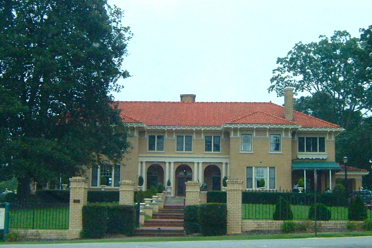
Gold Street in Buford, Georgia
Gold Street in Buford is a residential street and it runs in a northeast-southwest direction starting from Bona Road and ends at Forest Street.
- Road Type
- residential street
- Route
- northeast-southwest
Image
Fast food restaurants
Car washes
Town halls
Clothing stores
Cell phone stores
Schools
Gas stations
Auto repair shops
Police stations
Clinics
Places of worship
Hair salons
Arts centers
Charging stations
Restaurants
Music stores
Streets nearby
Bona Road400 ft
Tannery Street400 ft
Long Street Northeast450 ft
Forest Street0.1 mi
Richland Street Northeast0.1 mi
Richland Street0.1 mi
Allen Street Northeast0.2 mi
Arnold Street0.2 mi
New Street0.2 mi
Silver Street Northeast0.2 mi
Wiley Drive0.3 mi
East Main StreetWalters
0.3 mi
Robert Bell ParkwayBuford Fine Arts Center
0.3 mi
East Moreno StreetMister Car Wash - Buford
0.3 mi
Shadburn Ferry Road0.3 mi
Wilson Street Northeast0.3 mi
Cooper Street0.3 mi
Wilson Avenue0.3 mi
Williams Street0.3 mi
Saint James Street0.3 mi
5th Street0.4 mi
East Shadburn Avenue0.4 mi
Charles Street0.4 mi
Washington Street0.4 mi
Stonehedge Drive0.4 mi
Legion Drive0.4 mi
East Main Street NortheastAdvanced Coloration Salon
0.4 mi
Williams Street Northeast0.4 mi
Clover Drive0.4 mi
Sagefield DriveSagefield
0.4 mi
South Hill StreetChargePoint, First United Methodist Church of Buford
0.4 mi
Shadburn Street Northeast0.4 mi
Power Avenue0.5 mi
East Park Street0.5 mi
Highland Avenue0.5 mi
Pinecrest Terrace0.5 mi
Peevy Street0.5 mi
Murphy Street0.5 mi
Sagefield Court0.5 mi
Roberts Street0.5 mi
Thompson Mill Road0.5 mi
Buford Highway North East0.5 mi
Mimosa Drive0.6 mi
Buford Highway NortheastBuford Auto Glass Network, Los Paisanos Mexican Supermarket, New School of Music, Jimmy John's, Metro by T-Mobile, Yogo Fruit, Bravo Mexican Grill, Columbian Jeans, medical clinic, Buford Flowers, Praise the Lard BBQ, Marathon
0.6 mi
Sawnee Avenue0.6 mi
Buildings nearby
Buford City Schools0.5 mi
Skate Country0.7 mi
Gas stations nearby
Chevron0.6 mi
Streams nearby
Suwanee Creek0.7 mi
Public transit map Buford Legend
| Railway | |
| Bus | |
| Streetcar |
Bicycle map Buford Legend
| Bike path | |
| Bike lane on roadway | |
| Cycling allowed on bus lane | |
| Bicycle street | |
| Open to cyclists | |
| Open to cyclists, good path | |
| Cycling prohibited | |
| Cobblestone |
| Long-distance bike route | (depending on scale) | |
| Long-distance bike route |
Pedestrian map Buford Legend
| Path |
| Long-distance hiking trail | (depending on scale) | |
| Long-distance hiking trail | ||
| Pedestrians prohibited |