
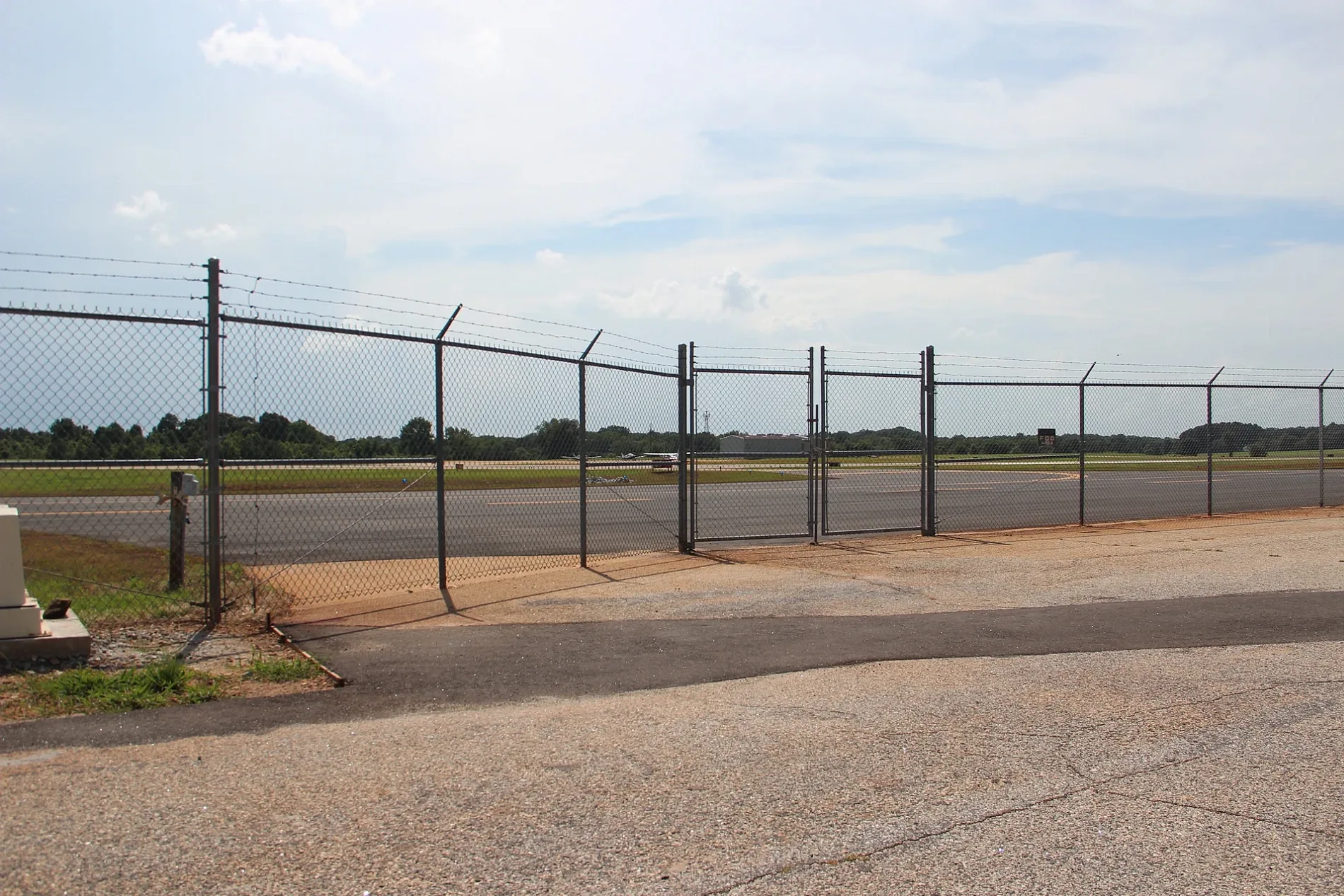
Jackson County Airport in Jackson County, Georgia
Jackson County Airport in Jackson County is an airfield (ICAO: KJCA). Ⓦ.
Image
Streets nearby
Airport Hanger Road0.1 mi
Lauren Drive0.2 mi
Gresham Motorsport Park0.4 mi
Ralph Garrison Road0.5 mi
Mitchell Road0.7 mi
Lyle Field Road0.8 mi
Hidden Lakes Trail0.8 mi
West G Legg Road0.8 mi
Lake Court0.9 mi
State Route 820.9 mi
Airport Road0.9 mi
Woodland Terrace1.1 mi
Raford Wilson Road1.1 mi
Forest Circle1.1 mi
Hidden Lakes Drive1.1 mi
Barber Road1.3 mi
Legg Road1.3 mi
I W Davis Road1.4 mi
Williamson Lane1.5 mi
Huff Hill Road1.5 mi
Hawks Nest1.6 mi
Maley Road1.6 mi
Harrison Lane1.6 mi
Old Ginn Road1.6 mi
County Farm RoadToney Hill Church, Thyatira
1.7 mi
Lee Street1.7 mi
Dry Pond Road1.7 mi
Castleview Court1.7 mi
Old Woods Bridge Road1.7 mi
Vandiver Road1.7 mi
Fowler Drive1.7 mi
Landfill Drive1.7 mi
Akers Road1.8 mi
Porter RoadDry Pond
1.9 mi
Johns Way1.9 mi
Crystal Lane2.0 mi
Glenn Fuller Circle2.0 mi
Cemeteries nearby
The Church of God Cemetery1.6 mi
Old Dry Pond Cemetery1.6 mi
Gas stations nearby
Dry Pond Country Store1.2 mi
Houses nearby
House1.1 mi
Parks nearby
Lamar Murphy Park1.4 mi
Places of worship nearby
Oconee Baptist Church1.0 mi
Hurricane Grove Church1.3 mi
Dry Pond United Methodist Church1.8 mi
Restaurants nearby
Porter House1.6 mi
Streams nearby
Parks Creek0.6 mi
Curry Creek1.4 mi
Mill Branch1.9 mi
| Elevation | 951 |
|---|---|
| Located in | Georgia |
| Country | United States |
 Public transit map Jackson County Legend
| Railway | |
| Bus | |
| Streetcar |
 Bicycle map Jackson County Legend
| Bike path | |
| Bike lane on roadway | |
| Cycling allowed on bus lane | |
| Bicycle street | |
| Open to cyclists | |
| Open to cyclists, good path | |
| Cycling prohibited | |
| Cobblestone |
| Long-distance bike route | (depending on scale) | |
| Long-distance bike route |
 Pedestrian map Jackson County Legend
| Path |
| Long-distance hiking trail | (depending on scale) | |
| Long-distance hiking trail | ||
| Pedestrians prohibited |