
East Greene Street in Monticello, Georgia
East Greene Street in Monticello is a two-lane, asphalted secondary road (Road number GA 16;GA 212). It runs in a southeast-northwest direction starting from West Greene Street and crosses North Warren Street, South Warren Street, Benton Driveway, Southern Avenue, Frobel Street, Hillsboro Street Extension, Blue Ruin Street and East Washington Street and ends at Eatonton Street. This street is part of the highways 16 and 212. Nearby you can find a hair salon, a clinic, a guest house and a restaurant. East Greene Street also exists in Baldwin County and Greene County.
- Road Type
- secondary road
- Lanes
- 2
- Speed Limit
- 25 mph
- Route
- southeast-northwest
Image
Streets nearby
Hillsboro Street Extension300 ft
Southern AvenueJasper County Lumber Company
350 ft
Benton Driveway400 ft
South Warren StreetEdgey's, Monticello Masonic Lodge
550 ft
Frobel StreetMartha Jane's Restaurant
0.1 mi
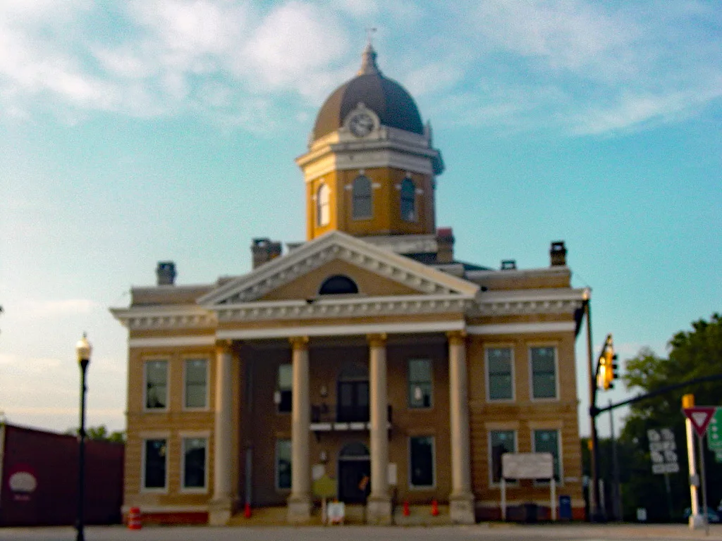
North Warren StreetJasper County Courthouse
0.1 mi
West Greene StreetMonticello, The Vanilla Bean, Five Loaves
0.1 mi
South Street0.1 mi
East Washington StreetMonticello Post Office
0.2 mi
Jordan Street0.2 mi
Key Street0.2 mi
Livingston Avenue0.2 mi
Sanders Heights0.2 mi
Samuel Court0.3 mi
Hillsboro Street0.3 mi
Bonner Street0.3 mi
Blue Ruin Street0.3 mi
Dolly Drive0.3 mi
Eatonton Street0.3 mi
Harvey Street0.4 mi
Ezell Court0.4 mi
Hilton Street0.4 mi
Smith Street0.5 mi
Banks nearby
Ameris Bank200 ft
Ameris Bank Drive Through250 ft
Bank of Monticello Drive Through350 ft
Buildings nearby
Security Finance500 ft
Bank of Monticello500 ft
Jasper County Courthouse0.1 mi
Academy Village Apartments0.1 mi
Cemeteries nearby
Monticello Presbyterian Cemetery500 ft
Commercial buildings nearby
US Post Office300 ft
Jordan Engineering, Inc.400 ft
Harrison Building400 ft
Benton's Welding400 ft
Peebles Antiques450 ft
Monticello Government Complex0.1 mi
Reese Hall0.2 mi
Community centers nearby
American Legion Hall0.1 mi
Funeral homes nearby
Jordan Funeral Home0.1 mi
Houses nearby
Jordan House0.2 mi
Libraries nearby
Jasper County Library500 ft
Parks nearby
Monticello Square0.1 mi
Pharmacies nearby
CVS Pharmacy550 ft
Places of worship nearby
Monticello Presbyterian Church500 ft
St. John's AME Church0.2 mi
Restaurants nearby
La Eskina Authentic Mexican Food0.1 mi
Variety stores nearby
Family Dollar150 ft
Other nearby
Monticello Substation0.2 mi
Public transit map Monticello Legend
| Railway | |
| Bus | |
| Streetcar |
Bicycle map Monticello Legend
| Bike path | |
| Bike lane on roadway | |
| Cycling allowed on bus lane | |
| Bicycle street | |
| Open to cyclists | |
| Open to cyclists, good path | |
| Cycling prohibited | |
| Cobblestone |
| Long-distance bike route | (depending on scale) | |
| Long-distance bike route |
Pedestrian map Monticello Legend
| Path |
| Long-distance hiking trail | (depending on scale) | |
| Long-distance hiking trail | ||
| Pedestrians prohibited |