
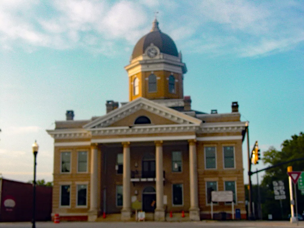
South Warren Street in Monticello, Georgia
South Warren Street in Monticello is a two-lane, asphalted main road (Road number GA 16;GA 83;GA 212). It runs as a one-way street in a southwest-northeast direction starting from Funderburg Drive and crosses East Washington Street, West Washington Street, East Greene Street and West Greene Street and ends at North Warren Street. This street is part of the highways 11, 16, 83 and 212. Nearby you can find an ice cream shop and a community center. South Warren Street also exists in Brooks County and Pulaski County.
- Road Type
- main road
- Lanes
- 2
- Speed Limit
- 25 mph
- Route
- northeast-southwest
Image
Streets nearby
West Greene StreetMonticello, The Vanilla Bean, Five Loaves
150 ft
North Warren StreetJasper County Courthouse
350 ft
Forsyth StreetNAPA Auto Parts, A-1 Food Store
350 ft
Towee StreetHideaway Package, Russel Convenience Store
400 ft
Southern AvenueJasper County Lumber Company
450 ft
Benton Driveway500 ft
South Street0.1 mi
West Washington StreetLa Eskina Authentic Mexican Cuisine, Rusted Roots, Monticello City Hall, Circle K, Subway
0.1 mi
Church StreetCunard's Garage
0.2 mi
Short StreetRed and White Food Store
0.2 mi
College StreetPrimary Care Center of Monticello
0.2 mi
Westview Street0.3 mi
Conner Street0.3 mi
Banks Street0.3 mi
Paul Street0.4 mi
Shops nearby
Towonders550 ft
Antique stores nearby
Bubba Licky’s0.1 mi
Banks nearby
Bank of Monticello Drive Through300 ft
Ameris Bank450 ft
Buildings nearby
Jasper County Courthouse100 ft
Bank of Monticello200 ft
Security Finance200 ft
State Farm350 ft
Clock Repair400 ft
Monticello News0.1 mi
Cemeteries nearby
Monticello Baptist Church Cemetery0.1 mi
Commercial areas nearby
Monticello Central Business District450 ft
Commercial buildings nearby
Harrison Building150 ft
Peebles Antiques200 ft
Jordan Engineering, Inc.350 ft
Monticello Government Complex350 ft
US Post Office400 ft
Sovereign Insurance400 ft
Tucker Motor Company Building0.1 mi
Ice vending0.1 mi
Community centers nearby
Thomas Persons Hall0.3 mi
Convenience stores nearby
A-1 Food Store0.2 mi
Gas stations nearby
Pete's BP0.1 mi
General stores nearby
Yoder’s Outdoor Living400 ft
Parks nearby
Monticello Square250 ft
Places of worship nearby
Monticello Baptist Church0.1 mi
Restaurants nearby
McMichaels Pizza300 ft
La Eskina Authentic Mexican Food350 ft
Big Chic500 ft
The Tin Hut0.2 mi
Secondhand stores nearby
Thrift Store0.1 mi
Sports fields nearby
Rose Bowl Field0.2 mi
Toy stores nearby
Yode's Toy Store400 ft
Variety stores nearby
Family Dollar550 ft
 Public transit map Monticello Legend
| Railway | |
| Bus | |
| Streetcar |
 Bicycle map Monticello Legend
| Bike path | |
| Bike lane on roadway | |
| Cycling allowed on bus lane | |
| Bicycle street | |
| Open to cyclists | |
| Open to cyclists, good path | |
| Cycling prohibited | |
| Cobblestone |
| Long-distance bike route | (depending on scale) | |
| Long-distance bike route |
 Pedestrian map Monticello Legend
| Path |
| Long-distance hiking trail | (depending on scale) | |
| Long-distance hiking trail | ||
| Pedestrians prohibited |