
DeSoto Falls in Lumpkin County, Georgia
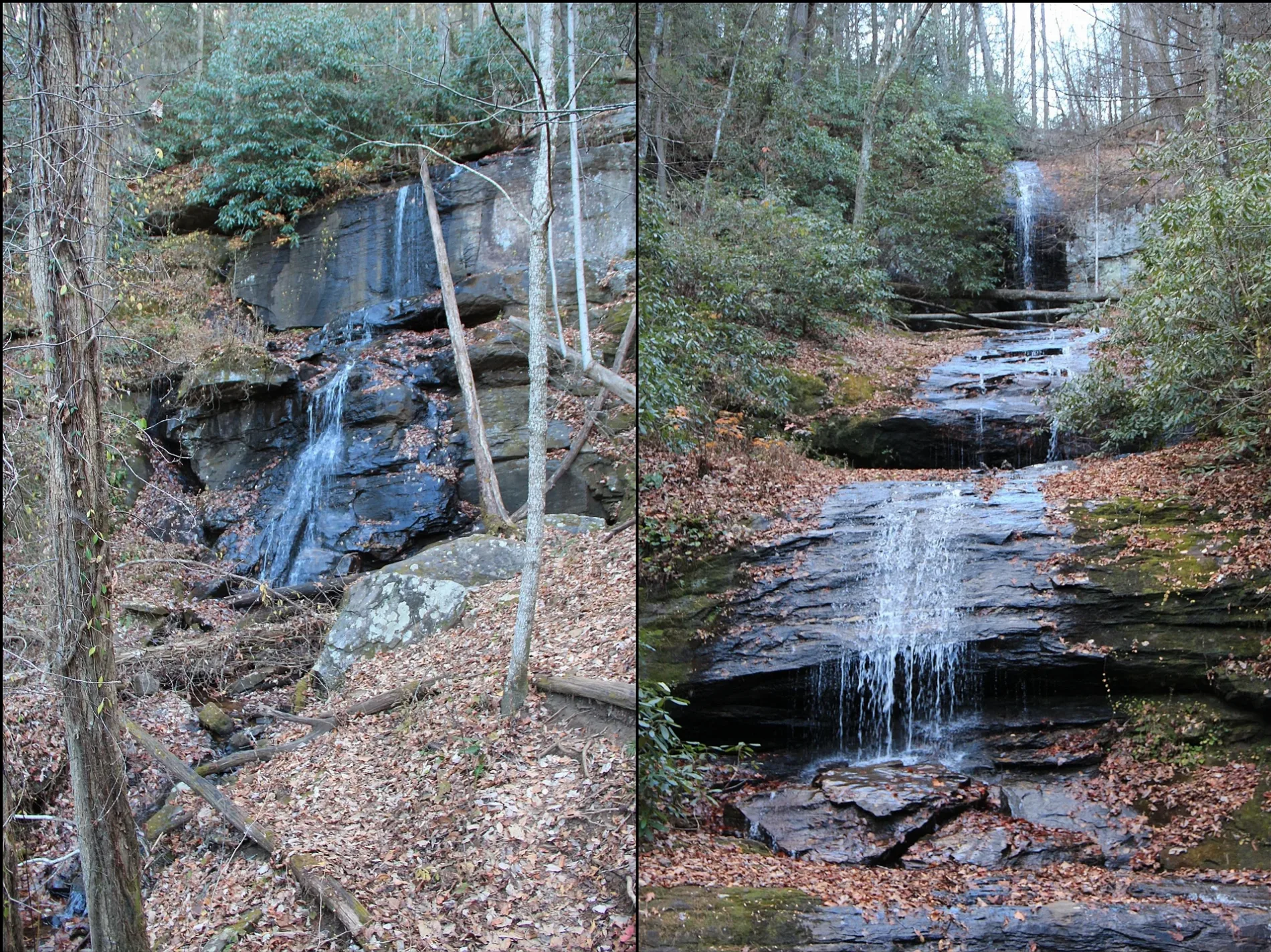
DeSoto Falls in Lumpkin County is a waterfall. Ⓦ.
- Waterway Type
- waterfall
Image
Streets nearby
DeSoto Falls TrailDeSoto Falls Campground, Upper DeSoto Falls, Lower DeSoto Falls
0.8 mi
Blue Mountain Spring Road1.2 mi
Freeman Trail1.4 mi
Gainesville HighwayJim's Smokin' Que, Blairsville Methodist Church, World's Largest Amish Chair
1.4 mi
Byron Herbert Reece TrailByron Herbert Reece Memorial Trailhead, 112
1.5 mi
Closed to Vehicles1.8 mi
FS 341.9 mi
FS 443B2.1 mi
Mardis Lane2.2 mi
abandoned road2.2 mi
Edwards Parkway2.2 mi
Laurel Drive2.2 mi
Woods Hole Shelter SpurWoods Hole Shelter
2.2 mi
Lower Blood Mountain Creek Falls2.2 mi
Courtney Lane2.2 mi
Duncan Ridge Trail2.3 mi
Joshua Drive2.3 mi
Happy Hollow2.3 mi
Derby Lane2.3 mi
Day Dream Court2.3 mi
Meadow View Lane2.4 mi
Cross Creek Road2.4 mi
Slaughter Creek Trail2.4 mi
Holly Lane2.4 mi
Remington Road2.4 mi
Campsite2.4 mi
Coosa Backcountry Trail2.4 mi
Rebel Lane2.4 mi
Kelli Lane2.5 mi
Reddick Lane2.5 mi
Scarlet Oak Drive2.5 mi
Boggs Creek Road (FS 443)2.5 mi
Coosa Backcountry / Duncan Ridge Trail2.5 mi
Lowell Lane2.5 mi
Cottage Drive2.6 mi
Hester Gap Road2.6 mi
Woodard Lane2.6 mi
Helton Creek RoadHelton Creek Falls
2.7 mi
Commercial buildings nearby
Walasi-Yi Interpretive Center1.2 mi
Parks nearby
Vogel State Park2.6 mi
Shelters nearby
Blood Mountain Shelter1.8 mi
Streams nearby
Frogtown Creek0.9 mi
Blood Mountain Creek1.6 mi
Shanty Branch2.1 mi
Dicks Creek2.2 mi
Boggs Creek2.2 mi
Helton Creek2.3 mi
Hogpen Branch2.5 mi
Wolf Creek2.6 mi
| Located in | Georgia |
|---|---|
| Country | United States |
| Location | Lumpkin County |
| Part of | Frogtown Creek |
 Public transit map Lumpkin County Legend
| Railway | |
| Bus | |
| Streetcar |
 Bicycle map Lumpkin County Legend
| Bike path | |
| Bike lane on roadway | |
| Cycling allowed on bus lane | |
| Bicycle street | |
| Open to cyclists | |
| Open to cyclists, good path | |
| Cycling prohibited | |
| Cobblestone |
| Long-distance bike route | (depending on scale) | |
| Long-distance bike route |
 Pedestrian map Lumpkin County Legend
| Path |
| Long-distance hiking trail | (depending on scale) | |
| Long-distance hiking trail | ||
| Pedestrians prohibited |